Information
Landmark: San Miguel River TrailCity: Telluride
Country: USA Colorado
Continent: North America
San Miguel River Trail, Telluride, USA Colorado, North America
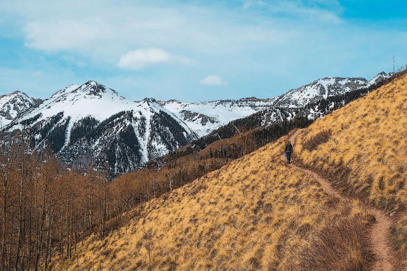
The San Miguel River Trail is a multi-use pathway traversing the town of Telluride, Colorado, following the course of the San Miguel River.
Visual Characteristics
The trail is primarily a paved or gravel surface, varying in width from 1.5 to 3 meters. It is bordered by riparian vegetation, including cottonwood trees and willows, with the San Miguel River on one side. The river's water color ranges from clear to milky brown depending on recent precipitation and sediment load. Rock formations and steep canyon walls are visible in sections.
Location & Access Logistics
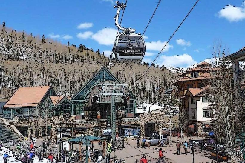
The trail begins at the east end of Telluride, near the Telluride Golf Club, and extends westward through the town. It is accessible from multiple points within Telluride, with primary access from the parking areas along Main Street and at the Telluride Town Park. Public transport is available via the free Galloping Goose bus service, with stops at various points along the trail.
Historical & Ecological Origin
The San Miguel River is a tributary of the Dolores River, originating in the San Juan Mountains. The trail was developed to provide recreational access and connect different areas of Telluride, utilizing the natural corridor of the river valley. The area's geology is characterized by sedimentary rock formations.
Key Highlights & Activities
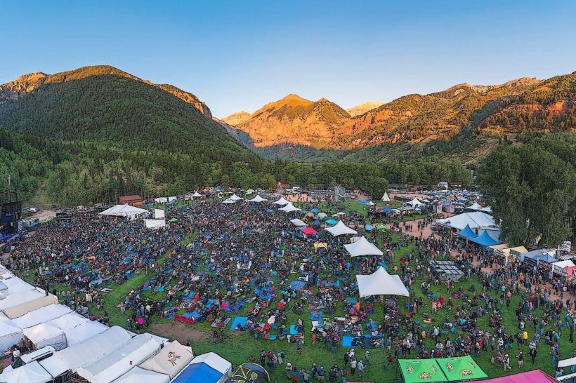
Activities include walking, jogging, cycling, and in-line skating. Fishing is permitted in designated areas of the San Miguel River. The trail provides access to several parks within Telluride, including Telluride Town Park, which features sports fields and an amphitheater.
Infrastructure & Amenities
Restrooms are available at Telluride Town Park and other designated park areas along the trail. Shade is provided by mature trees in certain sections. Cell phone signal (4G/5G) is generally available throughout the trail within town limits. Food vendors and restaurants are located along Main Street, adjacent to the trail.
Best Time to Visit
The trail is accessible year-round, but best for walking and cycling from late spring (May) through early fall (October). Morning hours (7:00 AM - 9:00 AM) offer softer light for photography. River flow is typically highest in late spring and early summer due to snowmelt.
Facts & Legends
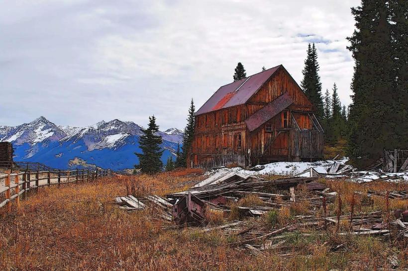
The San Miguel River was historically used for mining operations, with remnants of past infrastructure sometimes visible along its banks. Local lore suggests that prospectors in the 19th century found gold in the river, though large-scale extraction was limited.
Nearby Landmarks
- Telluride Town Park (0.1km West)
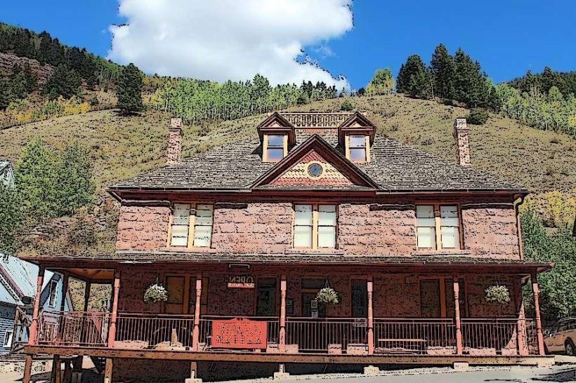
- Palace Hotel (0.8km West)
- Telluride Historical Museum (1.2km West)
- Bear Creek Trailhead (2.5km Southwest)
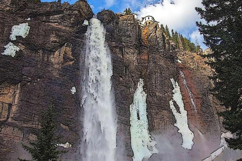
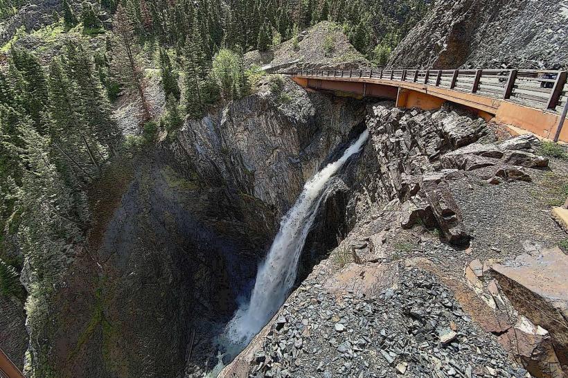
- Bridal Veil Falls (3.0km East)