Information
Landmark: Cabo NegroCity: Margarita Island
Country: Venezuela
Continent: South America
Cabo Negro, Margarita Island, Venezuela, South America
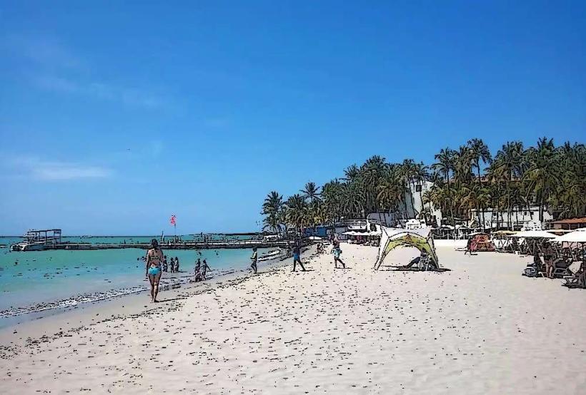
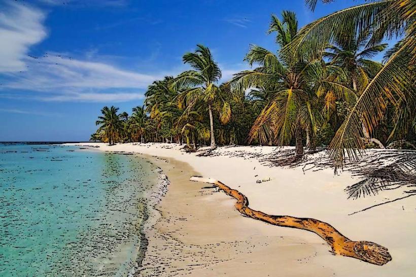
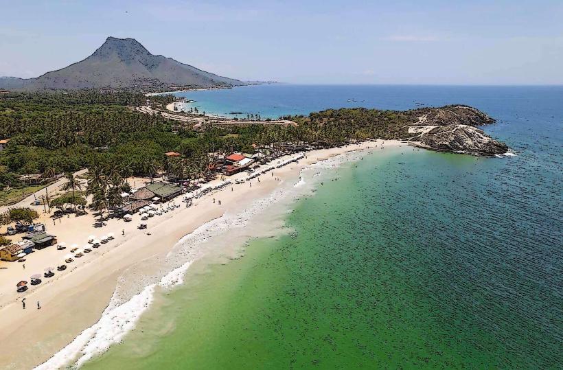
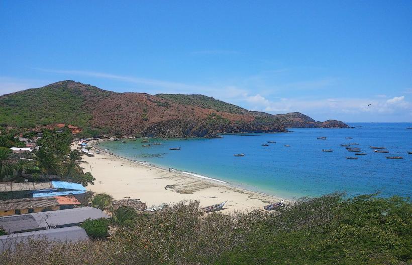
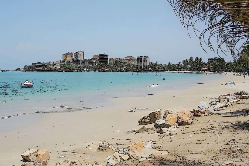
Cabo Negro is a coastal point located on the northeastern tip of Margarita Island, Venezuela. It is characterized by its geological formations and marine environment.
Visual Characteristics
The area features a coastline with rocky outcrops and sandy stretches. The water color varies from turquoise to deep blue depending on depth and light conditions. Vegetation is sparse, consisting primarily of drought-resistant shrubs and cacti adapted to the arid climate.
Location & Access Logistics
Cabo Negro is situated approximately 45 kilometers east of Porlamar. Access is via the regional highway, taking the turn-off towards Playa El Yaque and continuing east for approximately 5 kilometers on a paved road that transitions to a dirt track. Parking is available roadside at designated points. Public transport to the general area is limited; local buses serve Playa El Yaque, requiring a subsequent taxi or private vehicle for the final approach.
Historical & Ecological Origin
The geological formations at Cabo Negro are primarily sedimentary rock, shaped by millennia of erosion from wind and sea. Ecologically, it is part of a coastal desert environment, supporting specialized flora and fauna.
Key Highlights & Activities
Observation of marine bird species is a primary activity. The rocky shores offer opportunities for coastal exploration. Swimming is possible in designated calm areas, though currents can be strong. Fishing from the shore is permitted.
Infrastructure & Amenities
There are no permanent structures or amenities directly at Cabo Negro. Restrooms and food vendors are located at the nearby Playa El Yaque. Cell phone signal (4G) is generally available but can be intermittent closer to the water's edge.
Best Time to Visit
For photography, early morning (07:00-09:00) and late afternoon (16:00-18:00) provide optimal lighting. The dry season, from December to April, offers the most stable weather conditions. High tide can affect access to certain rocky areas.
Facts & Legends
Local lore suggests that the name "Cabo Negro" (Black Cape) originates from the dark color of the rocks visible at low tide, which are covered in marine organisms. It is also said to be a former lookout point for pirates.
Nearby Landmarks
- Playa El Yaque (0.8km West)
- Laguna de Las Marites (12km Southwest)
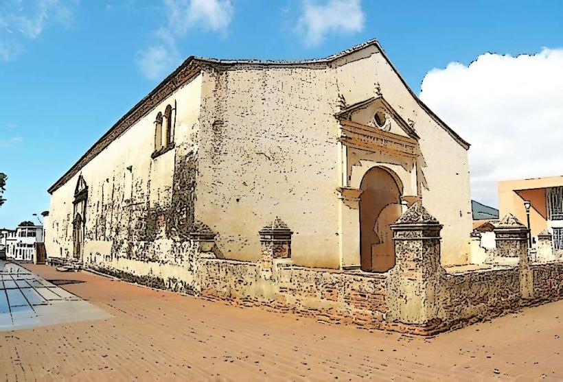
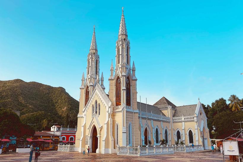
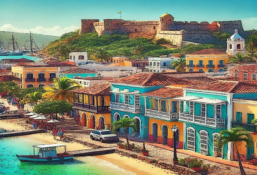
- Castillo de Pampatar (15km Southwest)
- Fortaleza de San Carlos Borromeo (18km Southwest)