Information
Landmark: Playa ManzanilloCity: Margarita Island
Country: Venezuela
Continent: South America
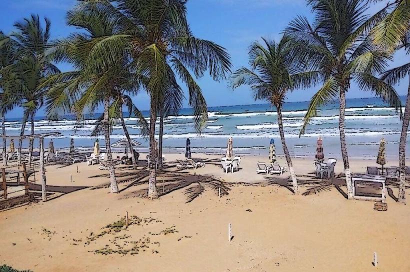
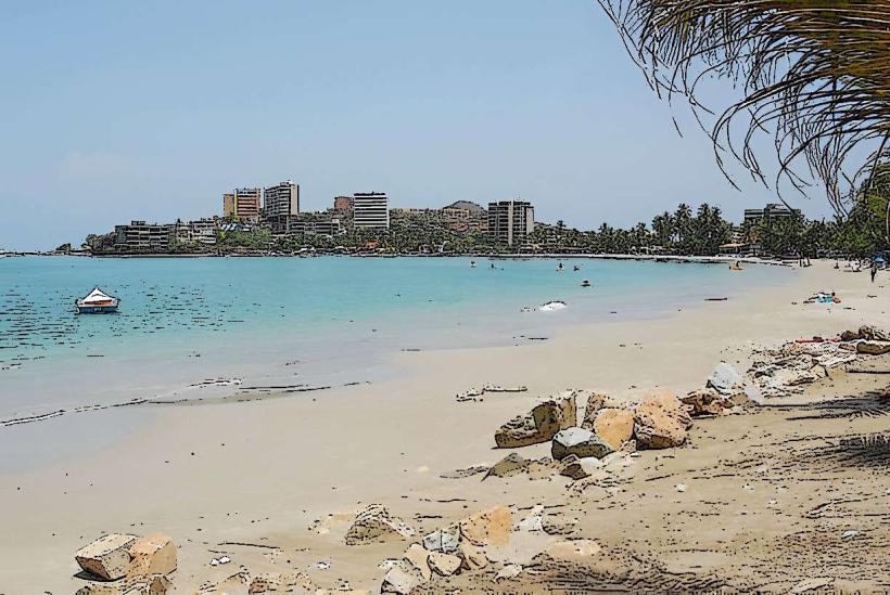
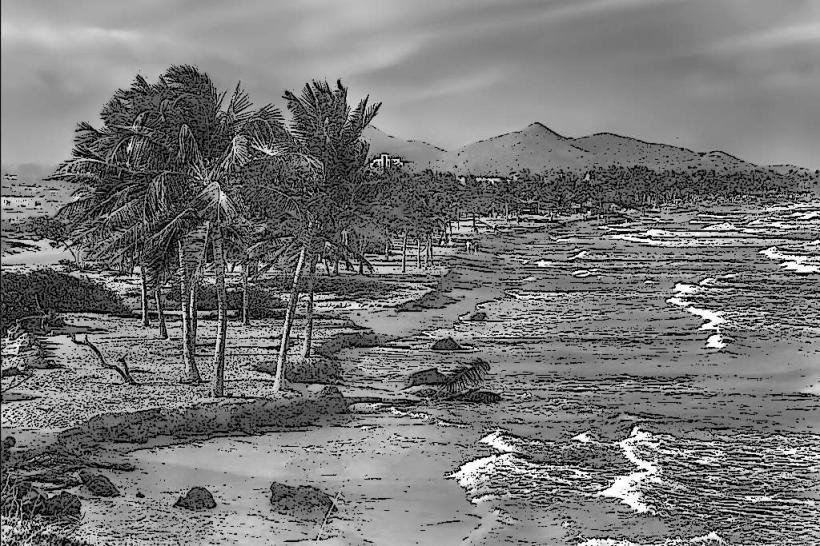
Playa Manzanillo, Margarita Island, Venezuela, South America
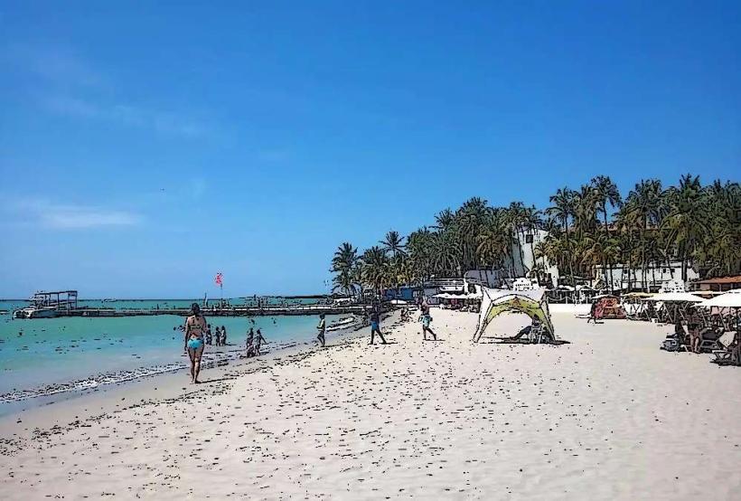
Playa Manzanillo is a coastal area situated on the northeastern tip of Margarita Island, Venezuela.
This location serves as a public beach and a small fishing community.
Visual Characteristics
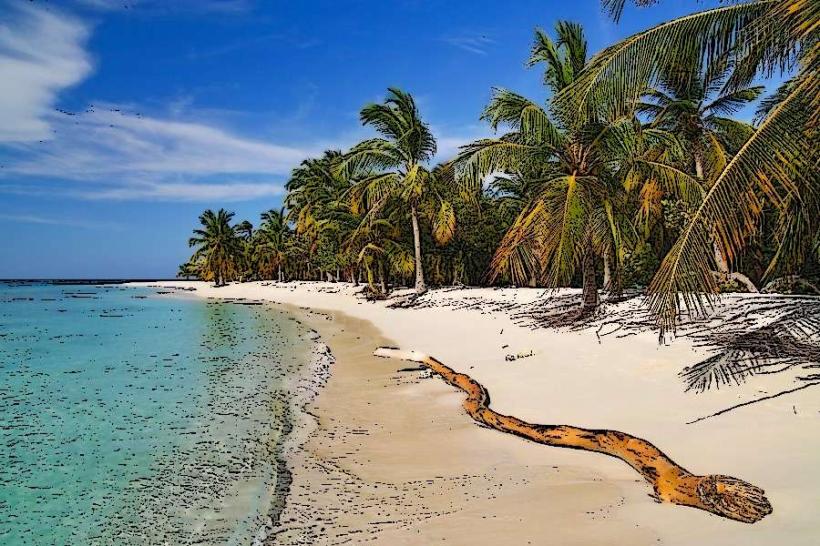
The beach consists of fine, light brown sand. The water is typically clear and exhibits shades of turquoise and blue. The shoreline is bordered by low-lying vegetation, including palm trees and scrub brush. The area is characterized by a relatively flat topography.
Location & Access Logistics
Playa Manzanillo is located approximately 45 kilometers east of Porlamar, the island's largest city. Access is via the regional highway, Carretera Nacional, which transitions into local paved roads leading directly to the beach. Driving from Porlamar takes approximately 1 hour, depending on traffic. Parking is available along the unpaved road adjacent to the beach, with capacity for approximately 50 vehicles. Public transport options are limited; local buses do not service this specific beach directly, requiring a taxi or private vehicle for access.
Historical & Ecological Origin
Playa Manzanillo originated as a natural coastal formation, shaped by marine erosion and sediment deposition over millennia. It has historically been utilized by local fishermen for their operations, with evidence of small-scale fishing activities dating back several decades. Ecologically, it is part of the coastal zone of Margarita Island, characterized by a tropical dry forest ecosystem transitioning to marine environments.
Key Highlights & Activities
Swimming is a primary activity. Fishing from the shore or small boats is common. Sunbathing on the sand is possible. Walking along the coastline is feasible. Observing local fishing practices is an option.
Infrastructure & Amenities
Basic amenities are present. Several small, open-air food stalls (toldos) operate during daylight hours, offering local seafood and beverages. Public restrooms are available but are rudimentary. Shade is provided by natural vegetation and temporary structures at the food stalls. Cell phone signal (4G) is generally available, though it can be intermittent closer to the water's edge.
Best Time to Visit
For photography, early morning (07:00-09:00) and late afternoon (16:00-18:00) offer optimal lighting conditions with softer shadows. The driest months, generally from December to April, provide the most favorable weather. High tide is suitable for swimming, while low tide exposes a wider expanse of sand.
Facts & Legends
A local anecdote suggests that the name "Manzanillo" derives from the presence of a specific type of small, apple-like fruit-bearing tree that once grew in the area, though these are now scarce. Fishermen often share stories of unusual catches and the changing patterns of marine life.
Nearby Landmarks
- Playa Puerto Cruz (1.5km West)
- Punta de Piedras (4km Southwest)
- Parque Nacional Laguna de La Restinga (4.5km West)
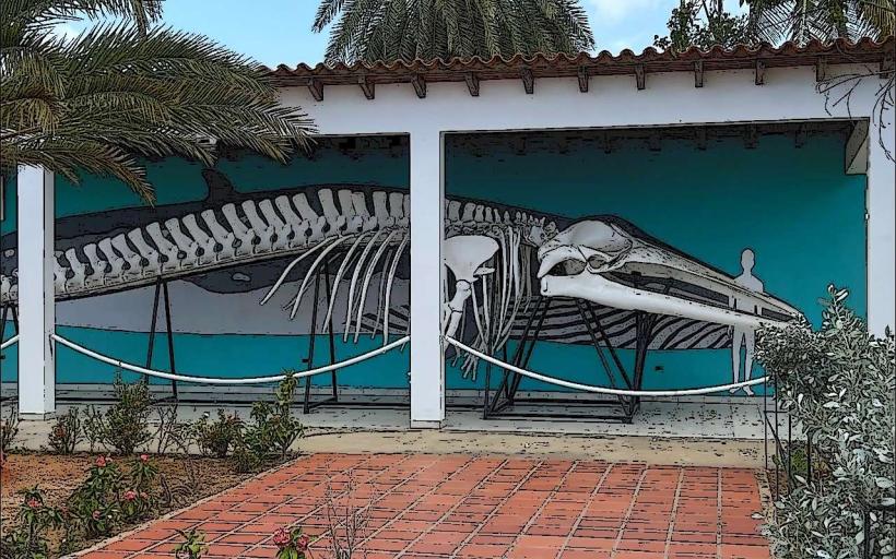
- Museo Marino de Margarita (5km Southwest)