Information
Landmark: Parque Nacional MorrocoyCity: Margarita Island
Country: Venezuela
Continent: South America
Parque Nacional Morrocoy, Margarita Island, Venezuela, South America
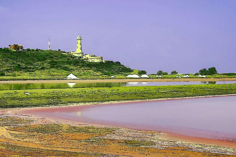
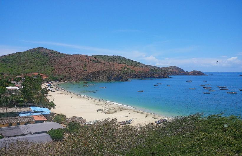
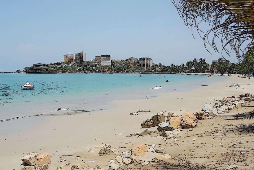
Parque Nacional Morrocoy is a protected coastal area located on the northern coast of Venezuela, specifically within the state of Falcón.
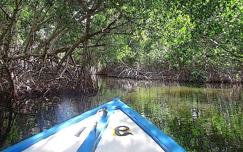
This national park encompasses a significant portion of the Venezuelan Caribbean coastline, characterized by its numerous cays, coral reefs, and mangrove systems.
Visual Characteristics
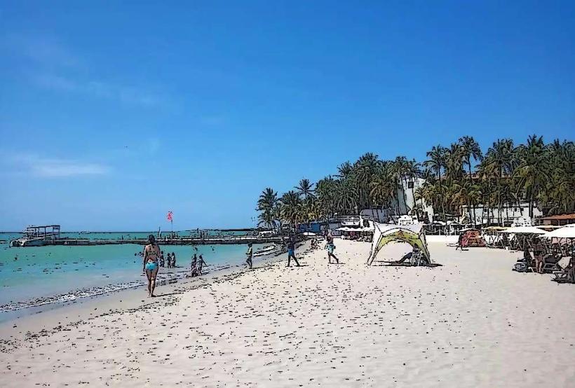
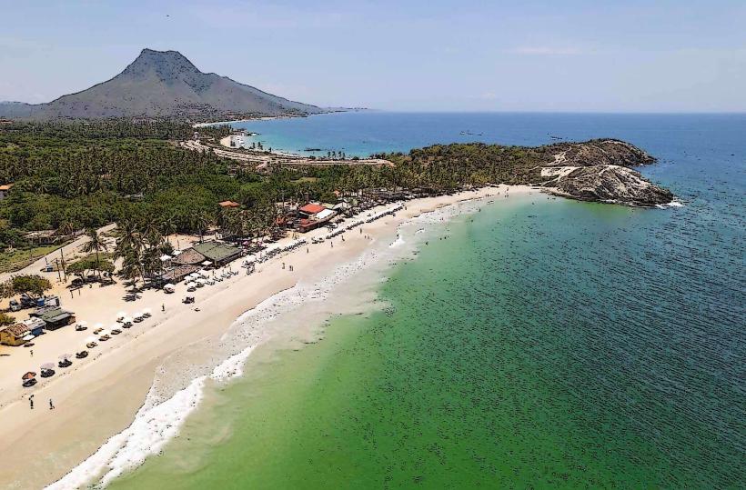
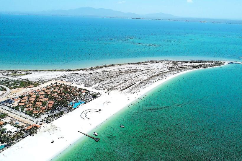
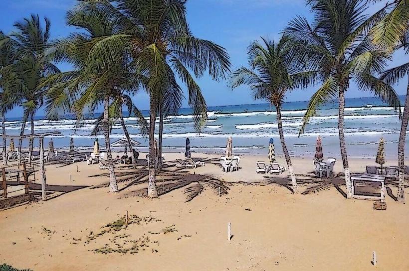
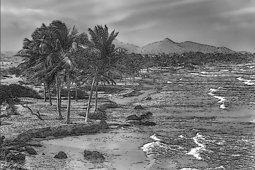
The park features a series of small islands (cays) with white sand beaches and clear, shallow turquoise waters. The coastline is fringed with dense mangrove vegetation, primarily red mangroves (Rhizophora mangle), which create intricate root systems. Offshore, coral reefs are present, supporting diverse marine life. The land areas on the mainland consist of dry tropical forest.
Location & Access Logistics
Parque Nacional Morrocoy is situated approximately 150 kilometers west of Caracas. Access is primarily from the town of Tucacas, which is connected by National Route 1 (Troncal 1). From Tucacas, visitors can hire small motorboats (peñeros) to reach the various cays. Parking is available in Tucacas, with fees typically charged per vehicle. Public transport to Tucacas is available via intercity buses from major Venezuelan cities.
Historical & Ecological Origin
The park was established on February 2, 1974, to protect its unique coastal ecosystems, including coral reefs, mangrove forests, and the associated biodiversity. Ecologically, it represents a transition zone between marine and terrestrial environments, crucial for nesting seabirds and marine species. The geological formation of the cays is largely due to the accumulation of coral skeletons and sediment over time.
Key Highlights & Activities
Activities include snorkeling and diving on the coral reefs, particularly around Cayo Sombrero and Cayo Peraza. Swimming and sunbathing are popular on the sandy beaches of the cays. Kayaking through mangrove channels is possible in designated areas. Birdwatching is a significant activity, with opportunities to observe various seabirds and migratory species.
Infrastructure & Amenities
Basic amenities are available on some of the larger cays, including small food stalls selling seafood and drinks. Restrooms are present on certain cays, though their condition can vary. Shade is provided by natural vegetation and some man-made structures. Cell phone signal (4G/5G) is generally available on the mainland and near populated areas of the cays, but can be intermittent on more remote islands.
Best Time to Visit
The dry season, from December to April, offers the most favorable weather conditions with less rainfall and calmer seas. The best time of day for underwater photography is generally between 10:00 AM and 2:00 PM when sunlight penetration is optimal. High tide is preferable for accessing some shallow areas and for boat navigation to certain cays.
Facts & Legends
A notable historical oddity is the presence of shipwrecks in the surrounding waters, remnants of historical maritime activity. A local tip for visitors is to bring insect repellent, especially for the mangrove areas, and to be aware of the strong currents that can occur between some of the cays.
Nearby Landmarks
- Parque Nacional Henri Pittier (70km East)
- Medanos de Coro National Park (150km West)
- Cayo Sal (2km South)
- Cayo Muerto (3km South)
- Cayo Borracho (5km South)