Information
Landmark: Pueblo El MorroCity: Margarita Island
Country: Venezuela
Continent: South America
Pueblo El Morro, Margarita Island, Venezuela, South America
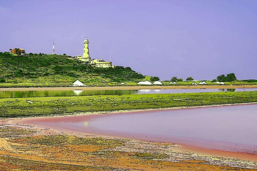
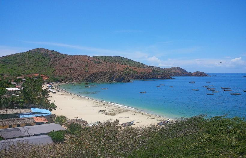
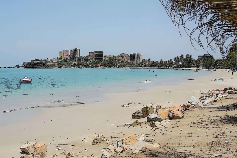
Pueblo El Morro is a coastal settlement located on the eastern tip of Margarita Island, Venezuela.
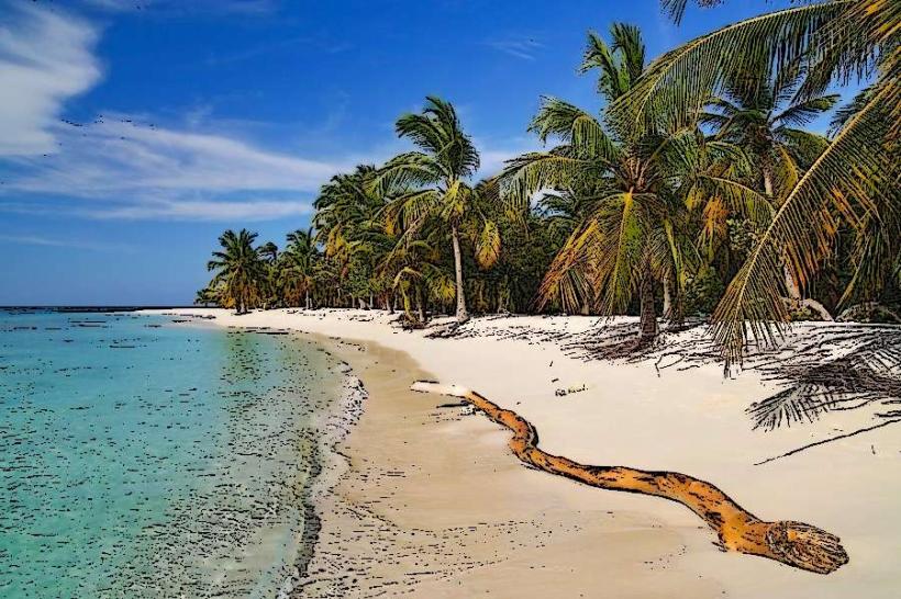
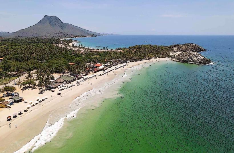
This area is characterized by its arid landscape and proximity to the Caribbean Sea.
Visual Characteristics
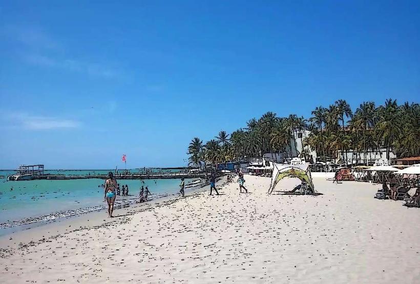
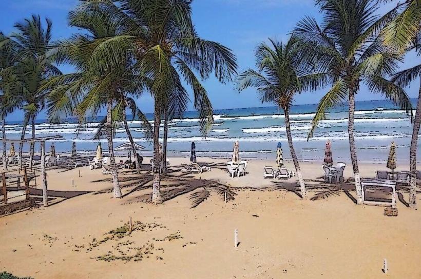
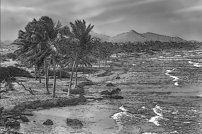
The settlement consists of low-lying structures, primarily constructed from concrete and painted in muted earth tones. Buildings are generally one to two stories in height. The surrounding terrain is dry, with sparse vegetation including cacti and scrub brush. The coastline features rocky outcrops and small sandy coves.
Location & Access Logistics
Pueblo El Morro is situated approximately 45 kilometers east of Porlamar, the island's largest city. Access is via the regional highway, Carretera Nacional El Yaque-Punta de Piedras, then continuing east on local roads towards Punta de Mangle. The final approach involves unpaved sections. Parking is available on unassigned dirt areas near the settlement. Public transport is limited; the most direct route involves taking a bus from Porlamar to El Cardón and then arranging a local taxi or private transfer for the remaining distance.
Historical & Ecological Origin
The settlement's origin is linked to early fishing communities that utilized the natural harbor. The geological formation of the area is primarily sedimentary rock, shaped by coastal erosion over millennia. The ecological classification is a semi-arid coastal scrubland.
Key Highlights & Activities
Observation of local fishing practices. Exploration of the rocky shoreline. Swimming is possible in sheltered coves during calm sea conditions. Birdwatching for coastal species.
Infrastructure & Amenities
Restrooms are not consistently available. Shade is minimal, provided by natural rock overhangs or small awnings at private residences. Cell phone signal (4G) is intermittent. There are no dedicated food vendors within Pueblo El Morro; provisions should be brought from larger towns.
Best Time to Visit
The best time of day for photography is late afternoon, approximately 16:00 to 18:00, for softer lighting. The driest months are typically January through April. Sea conditions are generally calmer during the morning hours.
Facts & Legends
Local lore suggests that the area was once a favored stopping point for pre-Columbian mariners due to its sheltered inlets. A specific tip for visitors is to wear sturdy footwear due to the uneven and rocky terrain.
Nearby Landmarks
- Playa El Yaque (2.5km West)
- Punta de Mangle (1.0km South)
- Laguna de La Restinga National Park (15km West)
- Castillo de la Galera (20km Northwest)