Information
Landmark: Central Lakes TrailCity: Alexandria MN
Country: USA Minnesota
Continent: North America
Central Lakes Trail, Alexandria MN, USA Minnesota, North America
Central Lakes State Trail - Detailed Overview
Location and Length
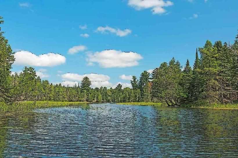
The Central Lakes State Trail stretches approximately 55 miles across west-central Minnesota, running between the towns of Osakis in the south and Fergus Falls in the northwest. The trail follows a former Burlington Northern Railroad corridor, providing a relatively flat, accessible route through a mix of small towns and natural landscapes.
Trail Surface and Design
The trail is fully paved with asphalt, about 14 feet wide, designed to accommodate multiple uses including cycling, walking, running, inline skating, and wheelchair accessibility.
It features a gentle elevation gain of about 1,361 feet over its entire length, making it suitable for all skill and fitness levels.
Mile markers are placed every mile, aligned with the original railroad mileposts, aiding navigation and planning.
Natural and Scenic Features
The trail passes through a variety of ecosystems and scenic environments, showcasing Minnesota’s natural beauty:
Lakes: Several notable lakes are visible or accessible from the trail, including Lake Osakis, Lake Christina, and the expansive Otter Tail Lake.
Woodlands and Prairie: The route traverses mixed hardwood forests, prairie remnants, wetlands, and open farmland.
Wildlife: Birdwatchers and nature lovers can spot a variety of local fauna such as songbirds, waterfowl, deer, and small mammals.
The diversity of habitats along the trail offers seasonal changes-from wildflower blooms and bird migrations in spring and summer to colorful foliage in fall and snowy serenity in winter.
Communities Along the Trail
The trail connects 10 small towns and communities, offering convenient access points, local amenities, and cultural attractions:
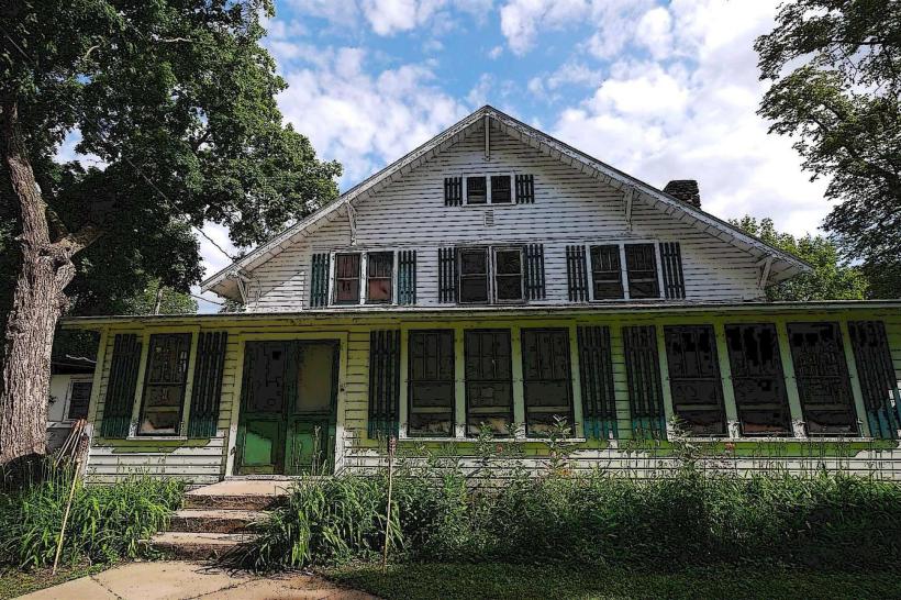
Fergus Falls: The northern trailhead, a regional hub with parks, restaurants, and shops.
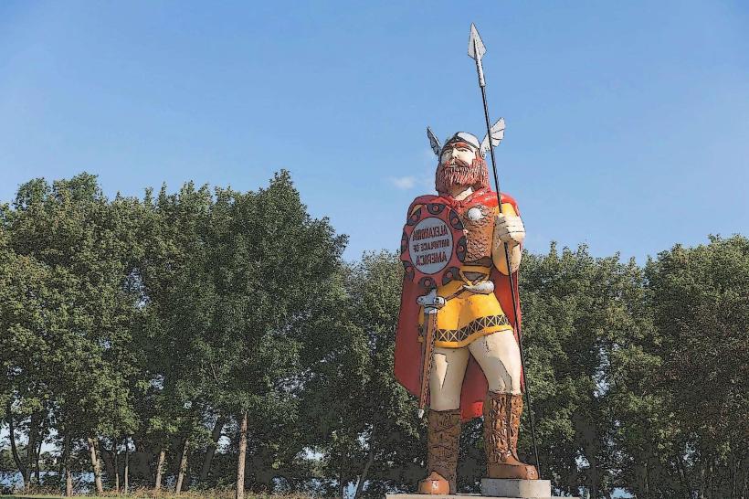
Evansville, Dalton, Ashby, Brandon, and Alexandria: Mid-trail towns where users can stop for rest, dining, and supplies.
Osakis: The southern terminus connecting to the Lake Wobegon Trail, extending further opportunities for long-distance biking.
These communities often serve as staging points for trail users, providing parking, restrooms, and sometimes bike rentals or repair shops.
Trail Uses and Activities
Biking: The primary activity, with the wide paved surface allowing for smooth and safe rides for all ages.
Walking and Running: The trail’s gentle grade and scenic views make it popular for casual strolls, fitness running, and long-distance hiking.
Rollerblading and Skateboarding: The smooth asphalt surface is ideal for inline skating.
Wheelchair Accessibility: The flat, wide trail is accessible for users with mobility devices.
Winter Use: The trail remains open for snowmobiling during winter months, with grooming maintained when conditions allow.
Facilities and Amenities
Trailheads and Parking: Each town along the trail provides designated parking areas and access points.
Restrooms and Water: Available at several trailheads and community parks.
Picnic Areas: Select spots along the route feature picnic tables and shelters.
Interpretive Signage: Educational panels provide information on local history, natural features, and wildlife.
Safety and Maintenance: The trail is maintained year-round by the Minnesota Department of Natural Resources and local volunteer groups, ensuring good surface conditions and clear signage.
Connections to Other Trails
At its southern end in Osakis, the Central Lakes State Trail connects with the Lake Wobegon Trail, allowing cyclists and hikers to continue on an additional 60+ mile paved corridor extending southeast toward St. Cloud. This link creates an extensive regional trail network for long-distance cycling adventures.
Accessibility and User Experience
The trail is open year-round, with summer months being most popular for biking and walking.
Because of its moderate length, many users choose to explore segments rather than the entire trail at once.
Its easy terrain, multiple towns, and amenities make it suitable for families, casual users, and serious cyclists.
The combination of natural beauty, small-town charm, and well-maintained infrastructure offers a rewarding and safe experience.
Summary
The Central Lakes State Trail stands as one of Minnesota’s premier multi-use paved trails, blending natural landscapes with cultural touchpoints along a historically significant railroad corridor. Its length, accessibility, and connections to other trails make it a versatile destination for outdoor recreation enthusiasts seeking scenic, low-impact adventures across west-central Minnesota.