Information
Landmark: Cerro de la SillaCity: Monterrey
Country: Mexico
Continent: North America
Cerro de la Silla, Monterrey, Mexico, North America
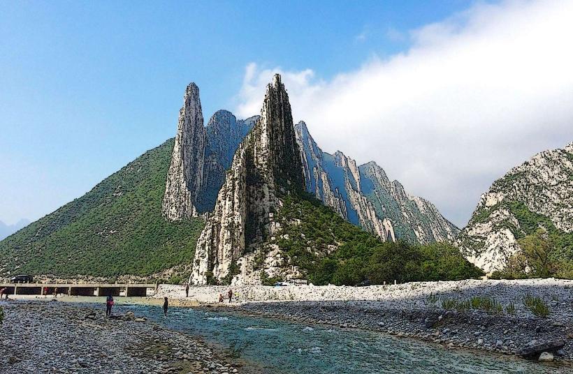
Cerro de la Silla is a mountain range located in Monterrey, Nuevo León, Mexico. It is characterized by its distinctive saddle shape.
Visual Characteristics
Cerro de la Silla consists of four peaks: Pico Norte, Pico Sur, Pico La Virgen, and Pico Antena. The mountain is primarily composed of sedimentary rock, with exposed limestone formations. Vegetation is sparse, consisting mainly of xerophytic shrubs and cacti adapted to arid conditions. The rock faces exhibit shades of grey and brown.
Location & Access Logistics
The mountain is situated on the eastern edge of Monterrey. Access points are primarily from the east side of the city. The main trailhead for Pico Sur is located off Avenida Alfonso Reyes in the municipality of Guadalupe, approximately 10km east of Monterrey's city center. Limited street parking is available near the trailhead. Public transport options include local bus lines that service Avenida Alfonso Reyes, requiring a short walk to the trailhead.
Historical & Ecological Origin
Cerro de la Silla is a geological formation classified as a fault-block mountain. Its current topography is the result of tectonic uplift and erosion over millions of years. It is part of the Sierra Madre Oriental mountain range.
Key Highlights & Activities
Hiking is the primary activity. The most popular trail leads to Pico Sur, a strenuous ascent requiring approximately 2-3 hours one way. The summit offers panoramic views of Monterrey. Observation points are situated at various elevations along the trails. The cable car (Teleférico de Monterrey) provides access to an observation deck on the western slope, though its operational status can vary.
Infrastructure & Amenities
Restrooms are available at the base of the Pico Sur trailhead. Shade is minimal on the trails, with limited natural cover. Cell phone signal (4G/5G) is generally available at lower elevations and near the summit, but can be intermittent. No food vendors are present on the mountain itself; options are available in the surrounding urban areas.
Best Time to Visit
The best time of day for photography is early morning or late afternoon to avoid harsh midday light and for optimal visibility of the city. The best months for hiking are from October to April, avoiding the extreme heat of summer. High temperatures can exceed 35°C (95°F) during summer months.
Facts & Legends
Cerro de la Silla is an official symbol of Monterrey and is depicted on the state's coat of arms. A local legend suggests that the mountain's shape resembles a saddle used by the mythical giant, "El Gigante de la Sierra," who once roamed the region.
Nearby Landmarks
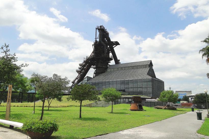
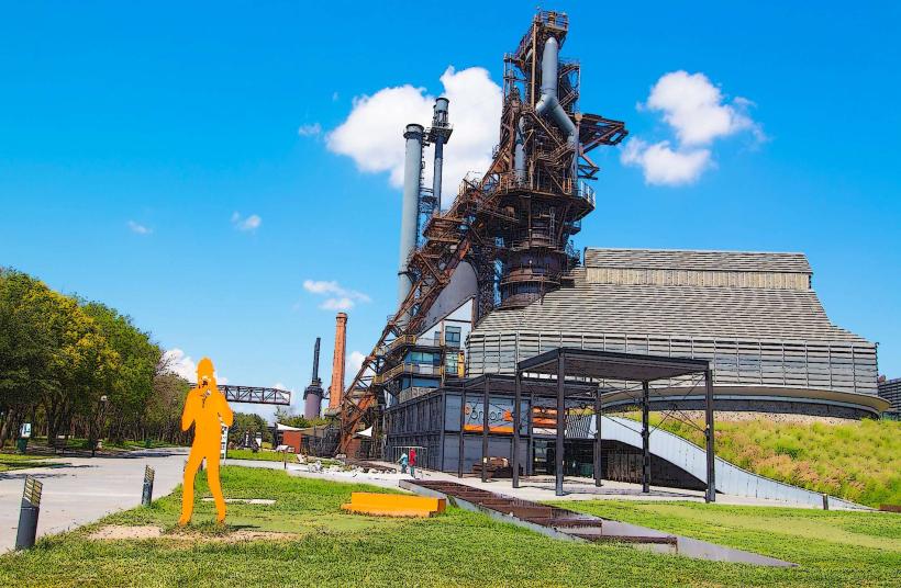
- Parque Fundidora (2.5km West)
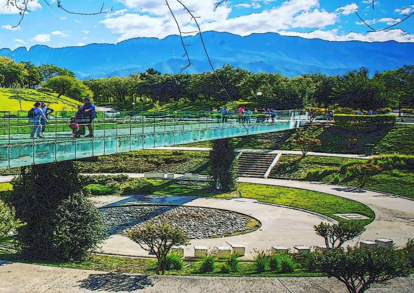
- Paseo Santa Lucía (3.0km West)
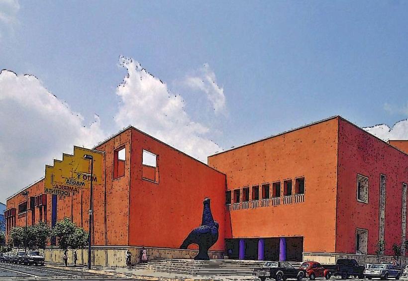
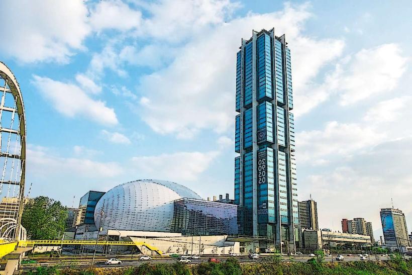
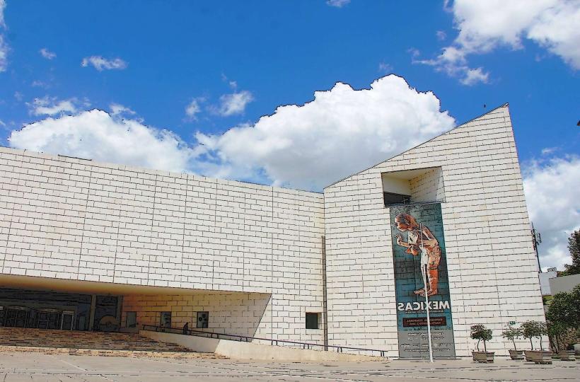
- Museo de Historia Mexicana (3.5km West)
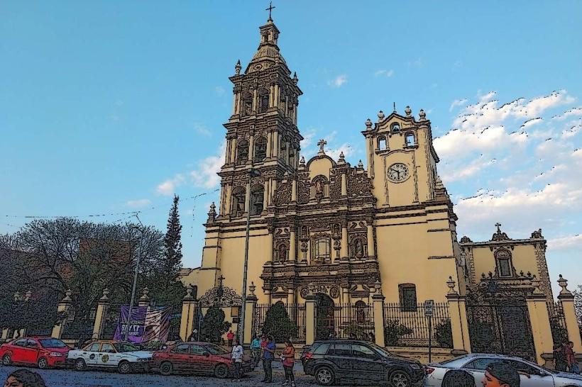
- Catedral de Monterrey (4.0km West)
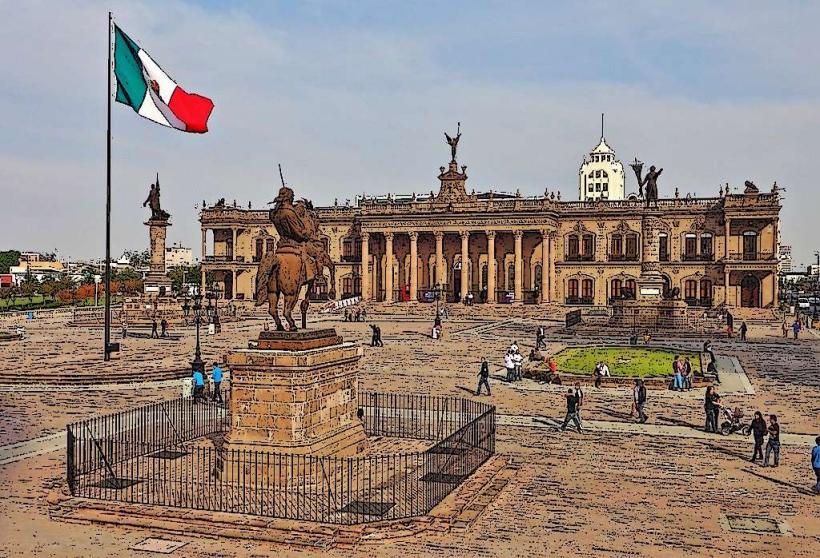
- Macroplaza (4.0km West)