Information
Landmark: Parque Nacional Cumbres de MonterreyCity: Monterrey
Country: Mexico
Continent: North America
Parque Nacional Cumbres de Monterrey, Monterrey, Mexico, North America
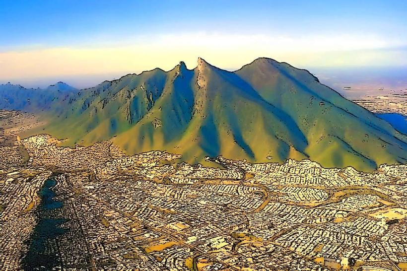
Parque Nacional Cumbres de Monterrey is a protected natural area situated in the state of Nuevo León, Mexico, encompassing mountainous terrain west of the city of Monterrey.
Visual Characteristics
The park features rugged limestone mountain ranges, characterized by steep canyons, cliffs, and diverse vegetation. Elevations range from approximately 900 meters to over 3,000 meters. Vegetation includes pine-oak forests at higher elevations and xerophytic scrubland in lower, drier areas. Rock formations are predominantly sedimentary, with visible strata.
Location & Access Logistics
The park is accessible via Federal Highway 40D (Monterrey-Saltillo toll road) and Federal Highway 57D (Monterrey-Nuevo Laredo toll road). The main entrance is approximately 30 kilometers west of downtown Monterrey. Parking is available at designated trailheads and visitor areas. Public transport options are limited; bus routes typically terminate in nearby towns like Santiago or Montemorelos, requiring onward travel by taxi or private vehicle.
Historical & Ecological Origin
The park was established on November 17, 1939, to protect the region's natural resources and biodiversity. Ecologically, it is part of the Sierra Madre Oriental mountain range, a significant biodiversity hotspot. The geological formations are primarily Mesozoic sedimentary rocks, shaped by erosion and tectonic activity over millions of years.
Key Highlights & Activities
Hiking is a primary activity, with marked trails such as the Sendero de la Ventana and the ascent to Cerro de la Silla (though the latter is technically outside the park boundaries but accessible from its vicinity). Rock climbing is permitted in designated areas. Birdwatching is also a popular activity due to the varied avian species present. Caving opportunities exist in certain formations.
Infrastructure & Amenities
Basic infrastructure includes marked trails, some picnic areas, and limited restroom facilities at main access points. Shade is primarily provided by natural tree cover. Cell phone signal is inconsistent and generally weak within the park, especially in canyons and at higher elevations. Food vendors are not present within the park; visitors should bring their own provisions.
Best Time to Visit
The best months for visiting are typically from October to April, avoiding the intense heat of summer and the rainy season. Mornings offer optimal lighting for photography, particularly for capturing the texture of the rock formations. High tide is not a relevant factor for this terrestrial park.
Facts & Legends
A notable geological feature is the "Cola de Caballo" (Horsetail Waterfall), a popular destination within the park's vicinity. Local folklore often associates the rugged terrain with tales of bandits and hidden treasures from the Mexican Revolution era.
Nearby Landmarks
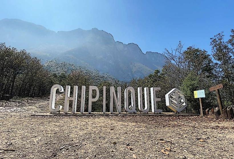
- 0.5km East: Parque Ecológico Chipinque
- 3km Southeast: Cerro de la Silla
- 10km South: Presa de La Boca
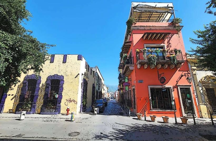
- 15km Southwest: Santiago Pueblo Mágico