Information
Landmark: Parque Ecológico ChipinqueCity: Monterrey
Country: Mexico
Continent: North America
Parque Ecológico Chipinque, Monterrey, Mexico, North America
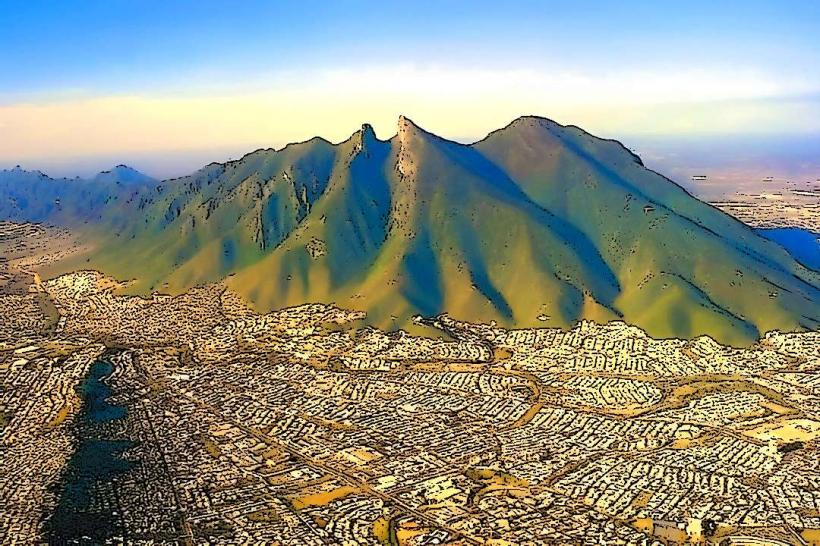
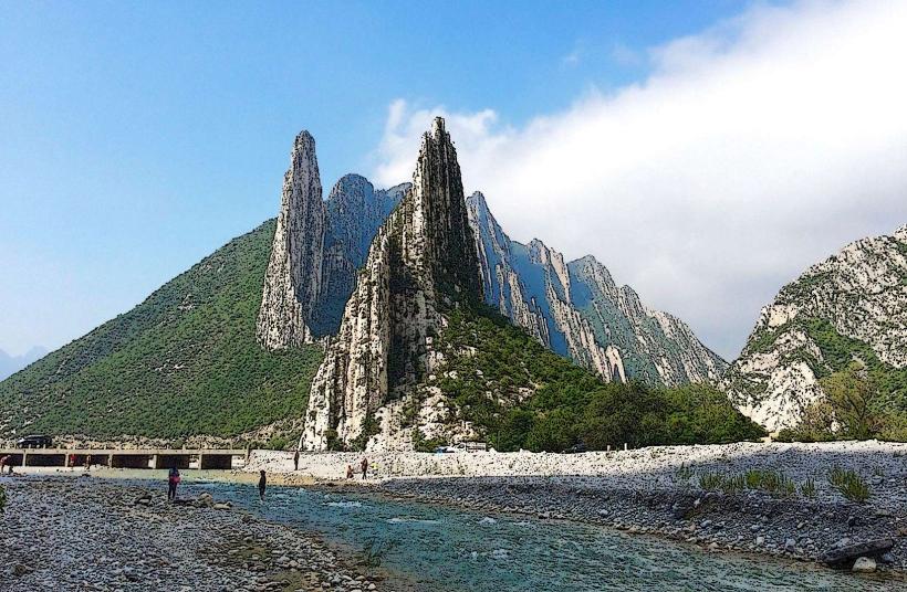
Parque Ecológico Chipinque is a protected natural area located in the municipality of San Pedro Garza García, within the Monterrey metropolitan area, Nuevo León, Mexico.
This park functions as a significant ecological reserve and recreational space for the region.
Visual Characteristics
The park features mountainous terrain with elevations ranging from approximately 1,300 to 2,200 meters above sea level. Vegetation is predominantly coniferous forest, with pine and oak species. The terrain includes steep slopes, rocky outcrops, and natural springs. The park's infrastructure consists of paved roads, walking trails, and observation points.
Location & Access Logistics
Parque Ecológico Chipinque is situated approximately 15 kilometers southwest of downtown Monterrey. Access is primarily via Carretera a Chipinque (Highway to Chipinque), which is a well-maintained paved road. The drive from Monterrey typically takes 30-45 minutes depending on traffic. Parking is available at designated lots within the park, with fees often applied. Public transport options are limited; however, some local bus routes may reach the lower sections of the access road, requiring a subsequent walk or taxi ride to the park entrance.
Historical & Ecological Origin
The area was designated as a protected ecological zone to conserve its biodiversity and water resources. Its geological origin is part of the Sierra Madre Oriental mountain range, characterized by limestone formations. The park's ecological classification is a temperate forest ecosystem, supporting a variety of flora and fauna adapted to higher altitudes.
Key Highlights & Activities
Activities include hiking on marked trails such as the Sendero de la Meseta and Sendero de las Antenas. Wildlife observation is possible, with sightings of deer, various bird species, and smaller mammals. Photography is facilitated by numerous viewpoints offering panoramic vistas of the Monterrey metropolitan area. Picnicking is permitted in designated areas.
Infrastructure & Amenities
Restrooms are available at the main entrance and at key points within the park. Shade is provided by the natural tree canopy. Cell phone signal (4G/5G) is generally available in most areas of the park. Food vendors and small restaurants are located near the park entrance and at the Chipinque Hotel.
Best Time to Visit
For photography, early morning or late afternoon offers optimal lighting conditions due to the angle of the sun. The best months for visiting are generally from October to April, when temperatures are cooler and rainfall is less frequent. The park is accessible year-round, though occasional closures may occur during severe weather events.
Facts & Legends
A notable historical oddity is the presence of the Chipinque Hotel, a historic establishment that predates the park's formal ecological designation, serving as a gateway to the mountain's recreational potential. A local tip for visitors is to carry water and wear appropriate footwear, as trails can be steep and uneven.
Nearby Landmarks
- Parque Rufino Tamayo (1.5km Northeast)
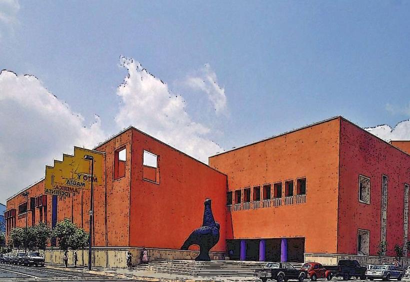
- Museo de Arte Contemporáneo de Monterrey (MARCO) (12km Northeast)
- Paseo Santa Lucía (13km Northeast)
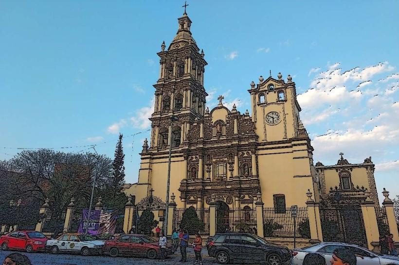
- Basílica de Guadalupe (14km Northeast)
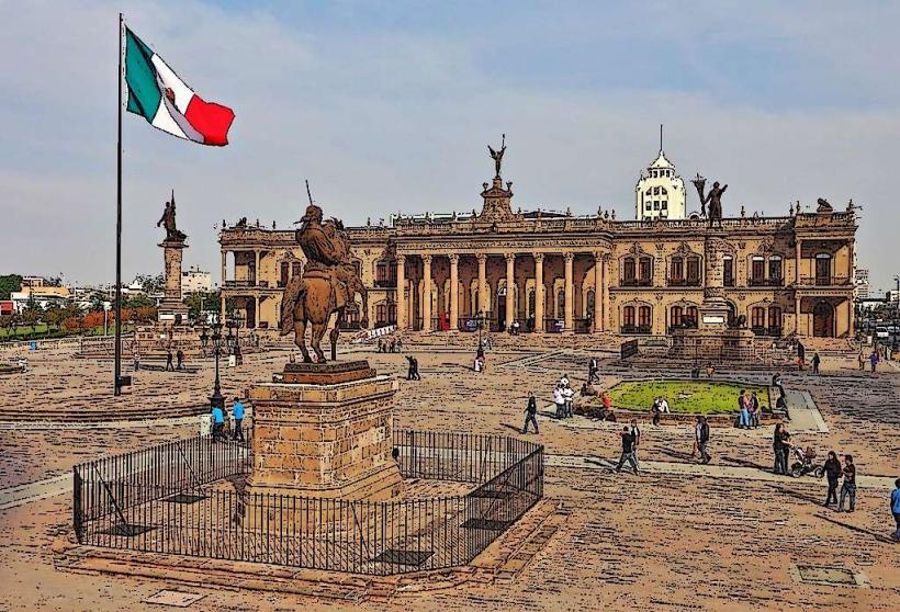
- Cerro de la Silla (10km East)