Information
Landmark: Cheat LakeCity: Morgantown
Country: USA West Virginia
Continent: North America
Cheat Lake, Morgantown, USA West Virginia, North America
Cheat Lake is a reservoir located in Monongalia County, West Virginia, formed by the Cheat River. It serves as a primary source of drinking water and a recreational area for the surrounding region.
Visual Characteristics
The lake's surface area is approximately 1,730 acres. Its shoreline is characterized by steep, wooded hillsides. Water color varies from deep blue to greenish-brown depending on sediment levels and depth. The lake is approximately 13 miles long.
Location & Access Logistics
Cheat Lake is situated approximately 10 miles south of Morgantown, West Virginia. Access is primarily via Interstate 68, exiting onto State Route 43 (Pierpont Road). Several public access points and boat launches are available along the lake's perimeter. Parking is available at designated boat launch areas and parks, though it can be limited during peak seasons. Public transport options directly to the lake are not extensive; bus routes typically terminate in nearby communities, requiring onward travel by private vehicle or taxi.
Historical & Ecological Origin
Cheat Lake was created by the construction of the Lake Lynn Dam (also known as the first Lake Lynn Dam), completed in 1926 by the West Virginia Power and Transmission Company. The dam's original purpose was hydroelectric power generation. The reservoir is situated within the Appalachian Plateau region, characterized by deciduous forests and river valleys.
Key Highlights & Activities
Boating, including powerboating and sailing, is a primary activity. Fishing is permitted, with common species including bass, crappie, and catfish. Kayaking and paddleboarding are also popular. Hiking trails are present along sections of the shoreline, such as the Cheat Lake Trail. Swimming is permitted in designated areas.
Infrastructure & Amenities
Restrooms are available at public access points and parks. Shade is provided by the surrounding forest canopy. Cell phone signal (4G/5G) is generally available in most areas around the lake, though it can be intermittent in more remote sections. Food vendors are present at some marinas and nearby establishments, but not directly on all sections of the lake.
Best Time to Visit
The best months for recreational activities are typically May through October, with July and August being the warmest. For photography, early morning and late afternoon offer softer light. High tide is not a relevant factor for this reservoir. Weekends are generally busier than weekdays.
Facts & Legends
A notable historical oddity is the presence of submerged structures from communities that existed before the lake's formation, remnants of which can sometimes be seen during periods of exceptionally low water levels. Local folklore sometimes speaks of unusual currents or sightings, though these are largely unsubstantiated.
Nearby Landmarks
- Morgantown (City Center) - 16km Northwest
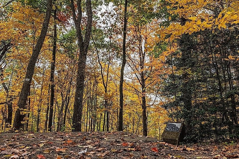
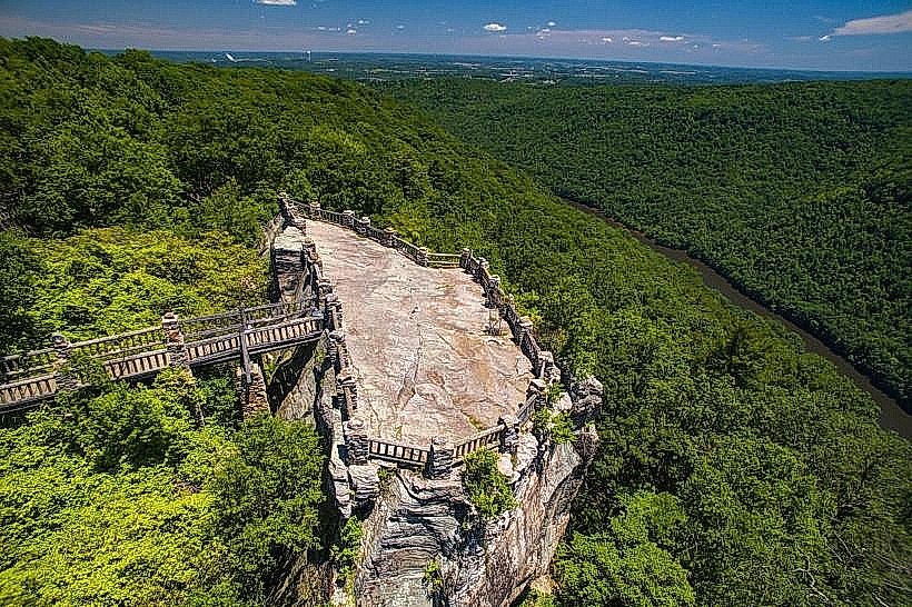
- Coopers Rock State Forest - 12km Southeast
- West Virginia University Arboretum - 14km Northwest
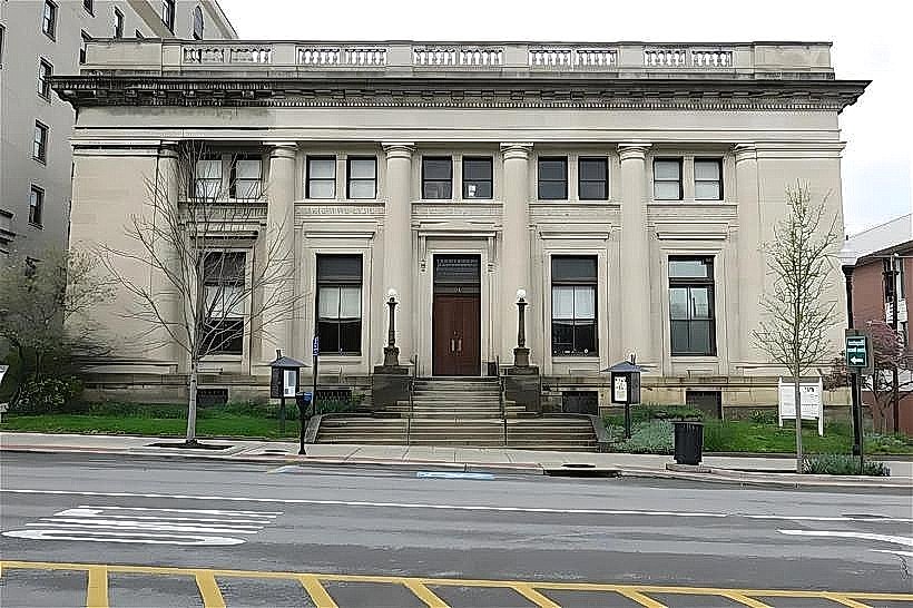
- Monongalia Arts Center - 15km Northwest
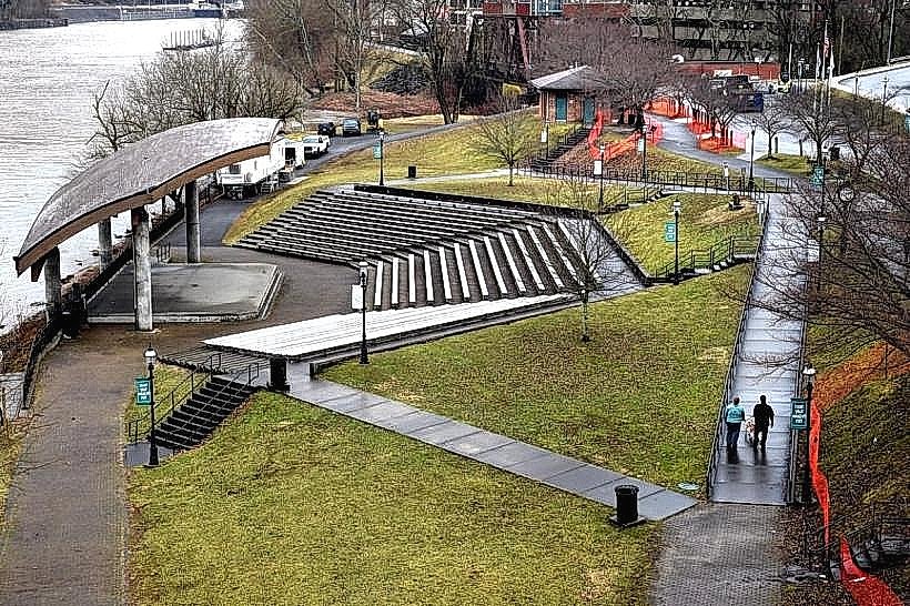
- Hazel Ruby McQuain Riverfront Park - 15km Northwest