Information
Landmark: Cherangani HillsCity: Kitale
Country: Kenya
Continent: Africa
Cherangani Hills, Kitale, Kenya, Africa
The Cherangani Hills are a mountain range located in the western part of Kenya, and they are a significant natural and cultural feature of the region. Spanning across multiple counties, they play a crucial role in the ecology, economy, and culture of Kenya. Below are the details about the geography, ecological importance, human interaction, and conservation efforts related to the Cherangani Hills.
Geography and Formation
Location: The Cherangani Hills are spread over an area of about 1,140 square kilometers, extending across Trans-Nzoia, Elgeyo Marakwet, West Pokot, and Baringo counties. These counties are situated in Kenya’s western highlands, which is an important agricultural region.
Formation: The Cherangani Hills were formed as a result of tectonic activities in the region, particularly faulting along the western escarpment of the East African Rift Valley. This geological process led to the rise of the hills, creating a dramatic landscape that includes steep slopes and deep valleys.
Highest Point: The hills reach elevations of up to 3,530 meters (11,580 feet) above sea level, with some of the highest peaks being Mt. Koiwa and Mt. Sipili. These peaks are often covered by mist and cloud forests, providing a mystical backdrop to the area.
Ecological Significance
Biodiversity: The Cherangani Hills are home to a rich variety of wildlife and plant species. It is classified as a Key Biodiversity Area (KBA) due to the high number of endemic plants and animal species found in the area. Notable endemic plant species include Polyscias kikuyuensis and Lobelia aberdarica, which thrive in the moist, high-altitude environment.
Water Catchment Area: The hills play a critical role in water catchment for the region. They are the source of several important rivers, including the Nzoia, Kerio, and Turkwel rivers. These rivers are vital for agriculture, drinking water supply, and hydropower production. As such, the Cherangani Hills are often referred to as the "water tower" of the region, a term used to describe areas that provide essential water resources to downstream communities.
Climate Regulation: The forests in the Cherangani Hills help in regulating local climates by maintaining moisture levels, mitigating floods, and controlling erosion. The dense forests also play an essential role in maintaining food security, as the area’s fertile soil supports agriculture, particularly the cultivation of crops such as maize, tea, and coffee.
Human Interaction and Cultural Significance
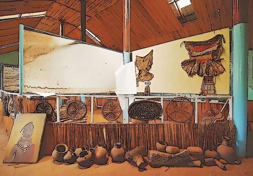
Indigenous Communities: The Cherangani Hills are home to several indigenous communities, including the Pokot, Marakwet, and Sabaot peoples. These communities have a deep cultural connection to the land and its forests. They rely on the hills for resources such as firewood, medicinal plants, and materials for construction. Traditional practices, such as rituals, ceremonies, and customs tied to the land, continue to be an important part of their way of life.
Agriculture and Livelihood: The fertile volcanic soils of the Cherangani Hills support small-scale farming, with crops like maize, beans, potatoes, and vegetables being widely grown. The region is also known for livestock farming, particularly cattle, which are culturally significant and provide an economic livelihood for the local populations.
Conservation Efforts
Forest Conservation: Over the years, the Cherangani Hills have faced pressures from deforestation, encroachment for agriculture, and illegal logging. This has resulted in loss of biodiversity, soil erosion, and reduced water retention in the region. To address these challenges, conservation efforts have been initiated to protect the Cherangani Hills Forest and surrounding ecosystems. These efforts focus on sustainable forest management, restoration of degraded areas, and improving water catchment areas.
Strategic Ecosystem Plans: In response to the challenges, the United Nations Development Programme (UNDP) has developed a Cherangani Hills Strategic Ecosystem Plan (2015-2040) that outlines measures for restoring and protecting the environment. This includes enhancing the livelihoods of local communities through eco-friendly practices, such as agroforestry and sustainable agriculture.
Community Involvement: Local communities are integral to the conservation process. Through organizations such as Nature Kenya and The Kenya Forest Service, the local population is encouraged to participate in tree planting initiatives, water catchment protection, and wildlife conservation efforts. These programs aim to balance environmental preservation with the needs of the people who live in the region.
Challenges Facing the Cherangani Hills
Deforestation: One of the most significant challenges facing the Cherangani Hills is deforestation, driven by the increasing demand for firewood, timber, and land for farming. Unregulated logging has led to habitat destruction, soil erosion, and reduced water retention.
Climate Change: The effects of climate change have become more apparent in the Cherangani Hills, with fluctuating rainfall patterns, increased temperatures, and unpredictable weather events. This affects both agriculture and water resources, making it even more crucial to conserve the region’s natural resources.
Human-Wildlife Conflict: As agricultural and settlement areas expand, there are growing tensions between local communities and wildlife, particularly elephants and other large herbivores. These animals sometimes encroach on farmlands, leading to crop destruction and sometimes violent encounters.
Ecotourism and Cultural Heritage
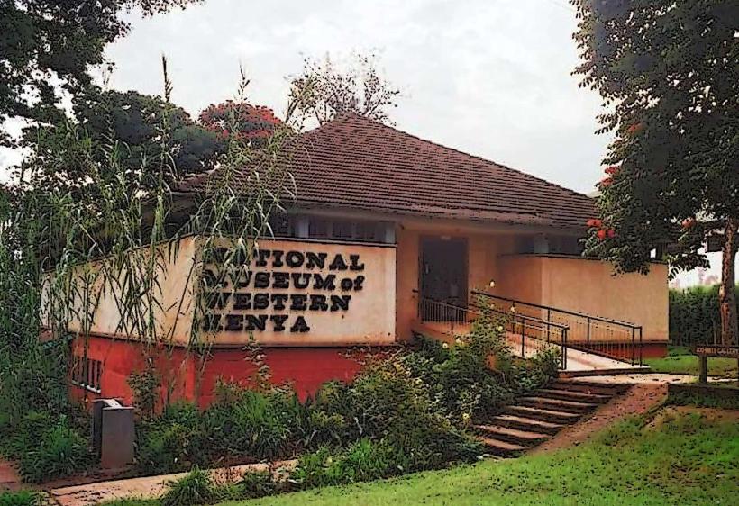
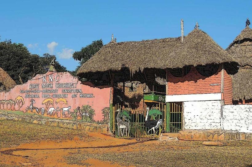
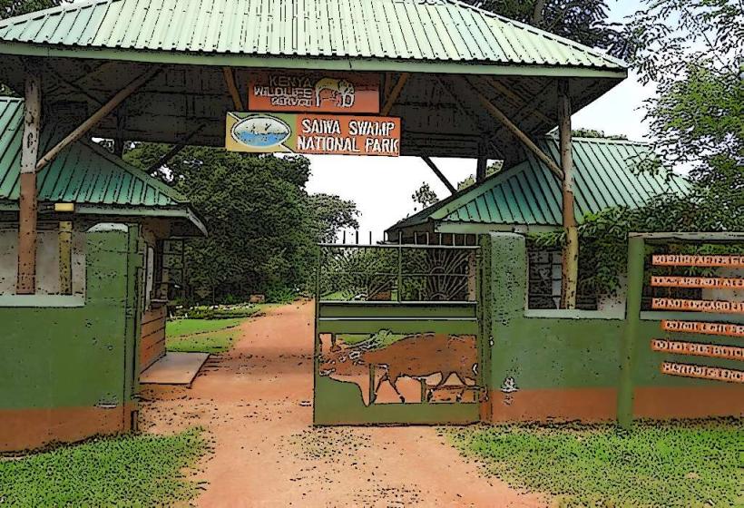
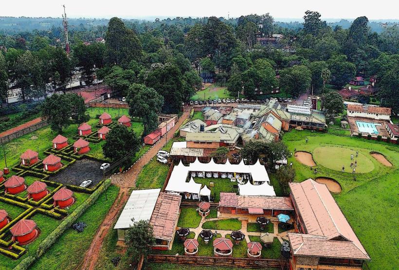
Ecotourism Potential: The Cherangani Hills have considerable ecotourism potential due to their natural beauty and diverse ecosystems. Visitors can enjoy activities such as hiking, birdwatching, and wildlife safaris. The area is home to several waterfalls, caves, and scenic viewpoints that attract nature lovers and adventure seekers.
Cultural Tourism: The hills are also rich in cultural heritage. Local communities perform traditional dances, music, and rituals that visitors can experience, providing insight into the region’s heritage. Visitors can also engage in agricultural tourism by participating in farm activities and learning about local farming practices.
Conclusion
The Cherangani Hills are an invaluable natural and cultural resource for Kenya. Their biodiversity, role in water catchment, and significance to local communities make them a vital part of the country's environmental and cultural landscape. With continued conservation efforts, the hills can be preserved for future generations while providing sustainable livelihoods for the communities that call this region home. The challenges posed by deforestation, climate change, and human-wildlife conflict require ongoing attention, but with collaborative conservation efforts, there is hope for a balanced coexistence between nature and human development.