Information
Landmark: Congaree National ParkCity: Columbia SC
Country: USA South Carolina
Continent: North America
Congaree National Park, Columbia SC, USA South Carolina, North America
Congaree National Park is a protected area preserving old-growth bottomland hardwood forest located in central South Carolina, USA.
Visual Characteristics
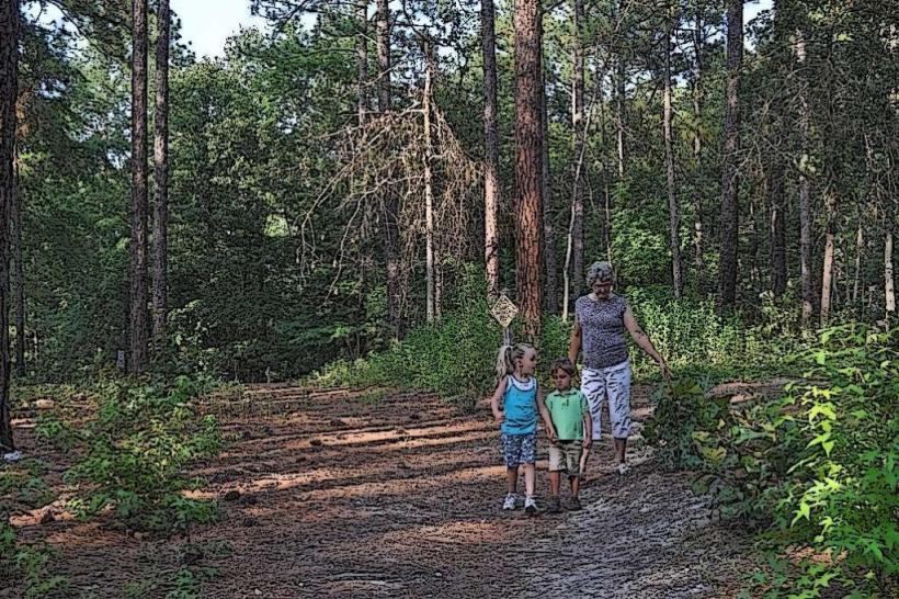
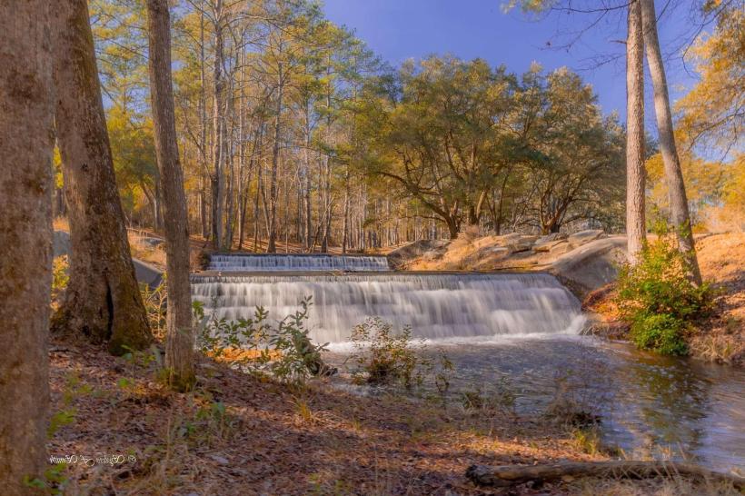
The park features a dense canopy of mature trees, including bald cypress, tupelo, and oak species, reaching heights exceeding 100 feet. The forest floor is characterized by a thick understory of ferns and other shade-tolerant vegetation. The Congaree River and Cedar Creek meander through the park, with water color varying from dark, tannin-stained to clearer depending on recent rainfall. The terrain is predominantly flat, with areas of swamp and marshland.
Location & Access Logistics
Congaree National Park is situated approximately 18 miles southeast of Columbia, South Carolina. Access is via South Carolina Highway 601 (Gadsden Road). The park entrance is clearly marked. Ample parking is available at the Harry Hampton Visitor Center. Public transportation options are not available to reach the park directly. The nearest major airport is Columbia Metropolitan Airport (CAE), located about 25 miles west.
Historical & Ecological Origin
The park was established to protect one of the largest tracts of old-growth bottomland hardwood forest remaining in the southeastern United States. This ecosystem developed over millennia, shaped by the natural flooding cycles of the Congaree River and its tributaries. The area was historically inhabited by Native American tribes and later utilized for timber harvesting before its designation as a national park in 2003.
Key Highlights & Activities
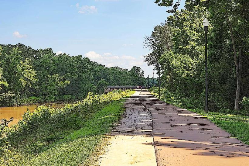
Hiking is available on marked trails, including the elevated Boardwalk Loop Trail (2.4 miles) and the Kingsnake Trail (2.3 miles). Canoeing and kayaking are permitted on Cedar Creek and the Congaree River, with access points available. Primitive backcountry camping is allowed in designated areas with a permit. Birdwatching and wildlife observation are popular activities.
Infrastructure & Amenities
The Harry Hampton Visitor Center provides restrooms, drinking water, and park information. Picnic tables are available near the visitor center. Shade is abundant throughout the forested areas. Cell phone signal is intermittent to non-existent within the park boundaries. Food vendors are not present within the park; visitors should bring their own provisions.
Best Time to Visit
The best time for hiking and general visitation is during the spring (March-May) and fall (September-November) when temperatures are moderate and insect activity is lower. Spring offers blooming wildflowers. Summer months (June-August) are hot and humid with increased mosquito populations. Cedar Creek is navigable for canoeing and kayaking year-round, though water levels can fluctuate. Early morning and late afternoon offer optimal lighting for photography.
Facts & Legends
Congaree National Park contains some of the tallest trees in eastern North America. A specific point of interest is the "Grist Mill" located along the Boardwalk Trail, a remnant of past industrial activity. Local folklore sometimes speaks of the "swamp gas" phenomenon, though this is typically attributed to natural decomposition processes.
Nearby Landmarks
- Congaree Creek Heritage Preserve (1.5km West)
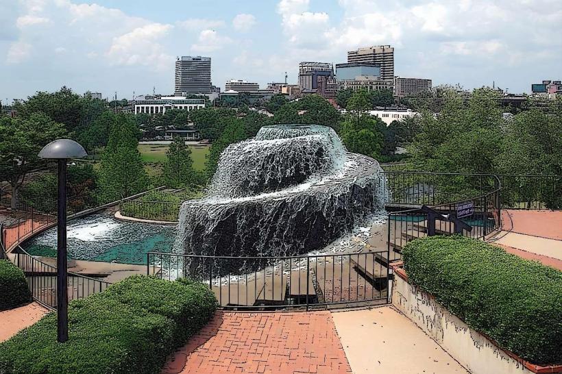
- Historic Columbia Canal (20km Northwest)
- South Carolina State House (22km Northwest)
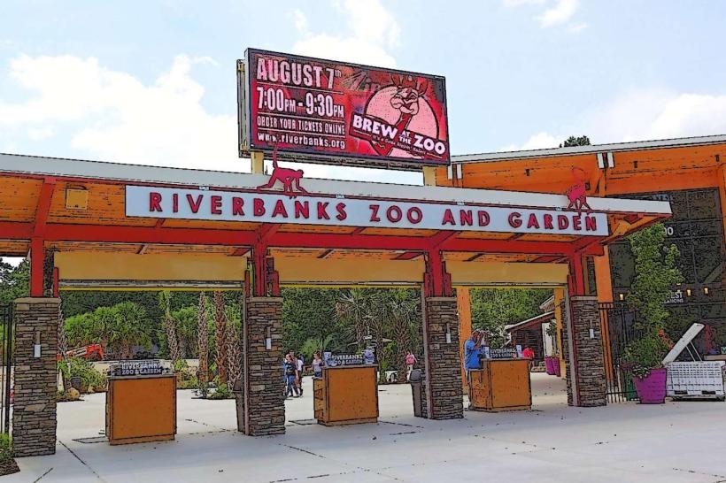
- Riverbanks Zoo and Garden (23km Northwest)