Information
Landmark: Saluda Shoals ParkCity: Columbia SC
Country: USA South Carolina
Continent: North America
Saluda Shoals Park, Columbia SC, USA South Carolina, North America
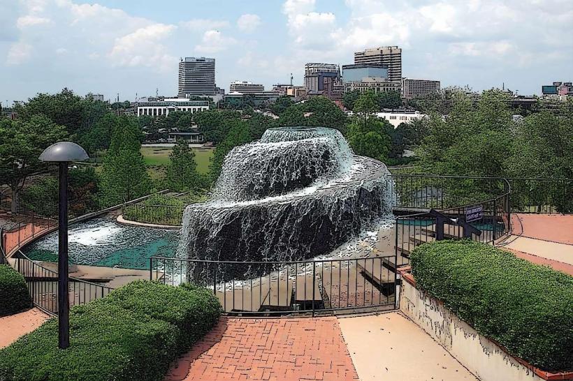
Saluda Shoals Park is a 400-acre environmental education and recreation facility situated along the Saluda River in Columbia, South Carolina.
Visual Characteristics
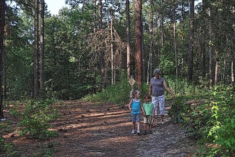
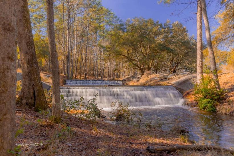
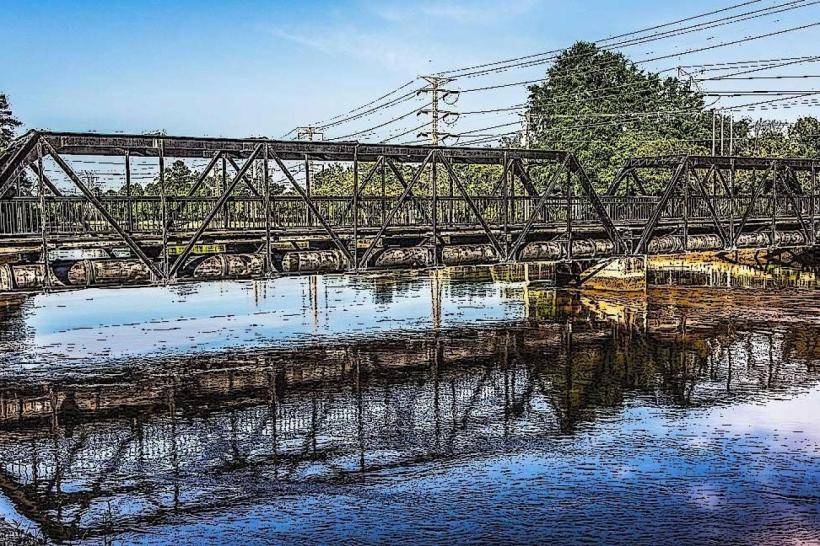
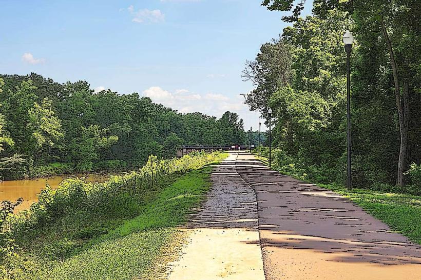
The park features approximately 2.5 miles of riverfront access with a mix of sandy banks and rocky outcrops. Inland, the terrain is characterized by mature hardwood forests, open meadows, and the Saluda River itself, which exhibits a variable water color depending on recent rainfall, ranging from clear to a light brown. The park's structures include a visitor center constructed with wood and stone, and various picnic shelters.
Location & Access Logistics
Saluda Shoals Park is located at 5601 Clemson Road, Columbia, SC 29230. It is approximately 10 miles northwest of downtown Columbia. Access is directly from Clemson Road. Ample paved parking is available throughout the park, including near the visitor center and various activity areas. Public transport options are limited; the nearest bus route is the COMET Route 12, which stops approximately 1.5 miles from the park entrance, requiring a walk or alternative transportation for the final segment.
Historical & Ecological Origin
The park was established on land formerly used for agricultural purposes and was developed by the Irmo-Chapin Recreation Commission, opening in the early 2000s. Its ecological origin is rooted in the Piedmont region of South Carolina, characterized by its riverine system and deciduous forest ecosystem. The Saluda River is a significant waterway in the region, historically important for transportation and power generation.
Key Highlights & Activities
Activities include kayaking and canoeing on the Saluda River, with a dedicated launch point. Hiking is available on over 10 miles of trails, including paved and unpaved options. Fishing is permitted in designated areas. The park also features a splash pad (seasonal) and an environmental education center with exhibits. Observation of riverine wildlife is a primary activity.
Infrastructure & Amenities
Restrooms are available at the visitor center and at multiple points throughout the park. Shaded picnic areas with tables and grills are provided. Cell phone signal (4G/5G) is generally available within the park. Food vendors are not present within the park; visitors are advised to bring their own provisions. Water fountains are located near restrooms and the visitor center.
Best Time to Visit
For photography, early morning and late afternoon offer optimal lighting conditions due to the angle of the sun. The best months for weather are typically April through June and September through October, offering moderate temperatures. River access for water activities is generally best during daylight hours, with no specific tide requirements as it is a river system.
Facts & Legends
A specific tip for visitors is to check the Saluda River flow rate online before planning water activities, as conditions can change rapidly due to upstream dam management. Local folklore sometimes references the river's historical significance to Native American tribes who inhabited the area prior to European settlement, though specific legends are not widely documented.
Nearby Landmarks
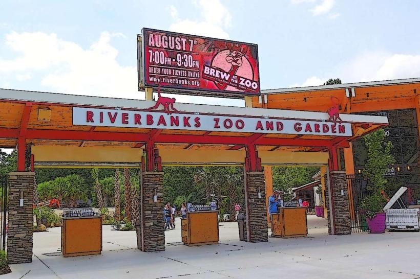
- Riverbanks Botanical Garden (3.5km Southeast)
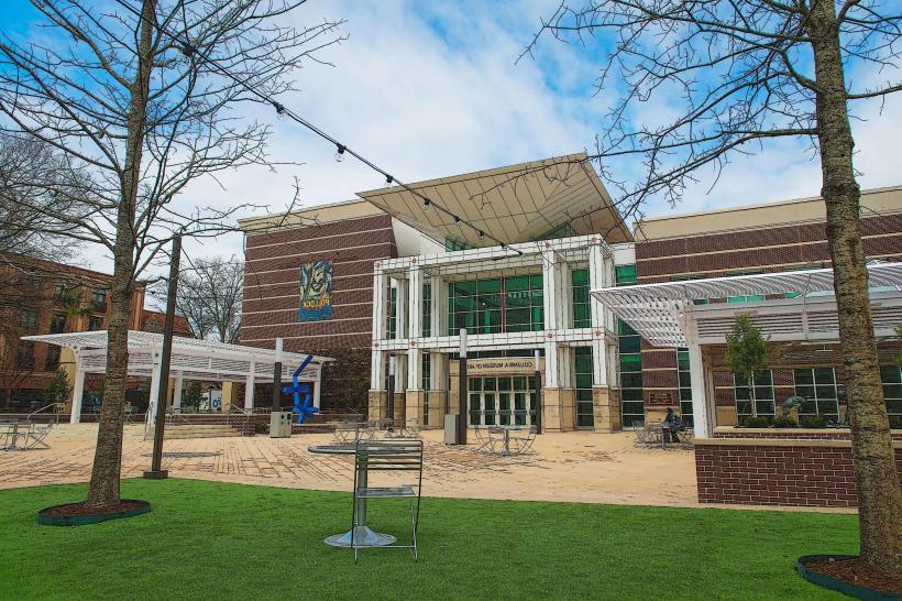
- Columbia Museum of Art (8.2km Southeast)
- South Carolina State House (9.1km Southeast)
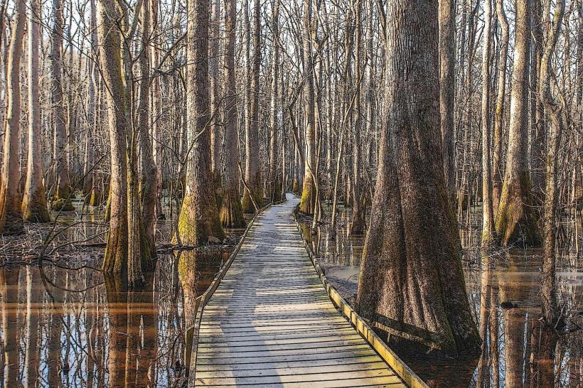
- Edisto River Canoe and Kayak Trail Access (15km Southwest)
- Congaree National Park (25km Southeast)