Information
Landmark: Croagh PatrickCity: Mayo
Country: Ireland
Continent: Europe
Croagh Patrick, Mayo, Ireland, Europe
Croagh Patrick, nicknamed "the Reek," is a 764-meter ($2,507$ ft) mountain in County Mayo. It is considered the holiest mountain in Ireland and is a site of significant archaeological, geological, and religious importance.
Visual Characteristics
The mountain is noted for its distinct symmetrical conical shape, visible from across Clew Bay.
Geology: Primarily composed of quartzite, which gives the peak its shimmering appearance. The upper slopes are covered in loose scree.
The Summit: Features a small, modern white chapel (built in 1905) and a large open area for communal prayer.
Views: Provides a panoramic perspective of the 365 islands of Clew Bay to the north and the Nephin Beg range.
Location & Access Logistics
Address: Murrisk, Westport, Co. Mayo.
Position: Located 8 km west of Westport town on the R335 coastal road.
Transit: Accessible by car or local bus from Westport. The trailhead begins at the car park in Murrisk.
Parking: Large pay-and-display car park at the base in Murrisk, adjacent to the Campbell’s Pub and the National Famine Memorial.
Accessibility: Not accessible for mobility devices. The climb is a strenuous hike requiring sturdy footwear and physical fitness.
Historical & Religious Origin
St. Patrick: Tradition holds that Saint Patrick fasted on the summit for 40 days and 40 nights in 441 AD.
Pre-Christian: Archaeological evidence suggests the mountain was a site of pagan pilgrimage and ritual during the festival of Lughnasadh long before the arrival of Christianity.
Reek Sunday: The last Sunday in July marks the annual national pilgrimage, where thousands of people climb the mountain, some traditionally doing so barefoot.
Hiking Technicalities
Duration: The average round trip takes 3–4 hours.
Path Conditions: The trail is divided into three sections: the initial climb from Murrisk, the level "Shoulder," and the final steep ascent through loose quartzite scree.
Safety: The upper cone is prone to sudden weather shifts and low visibility. Proper hiking boots are essential due to the unstable footing.
Infrastructure & Amenities
Visitor Centre: Teach na nÓsta (at the base) provides information, a coffee shop, and locker rentals.
Sanitation: Public restrooms are located at the base in Murrisk. There are no facilities on the mountain.
Connectivity: 4G/5G is generally available on the slopes but can be obstructed by the mountain mass in certain hollows.
Conservation & Restoration
A major sustainable path project was completed in 2024 to combat severe erosion caused by high footfall. This involved hand-placing stone steps on the upper cone to provide a stable, defined route for climbers while allowing the surrounding scree to stabilize.
Nearby Landmarks
National Famine Memorial – At the base in Murrisk
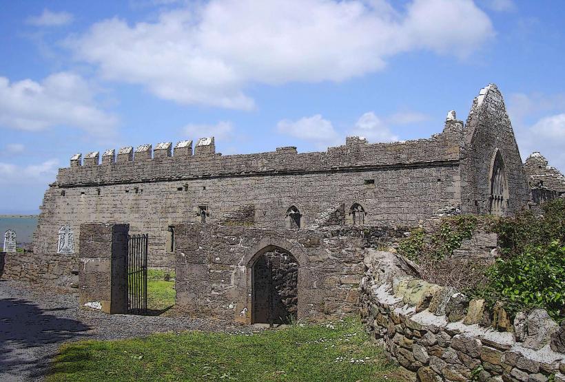
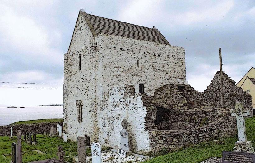
Murrisk Abbey – 0.5 km North
Westport House – 9 km East
Clare Island – Visible to the West in Clew Bay