Information
Landmark: Crooked BridgeCity: Mostar
Country: Bosnia and Herzegovina
Continent: Europe
Crooked Bridge, Mostar, Bosnia and Herzegovina, Europe
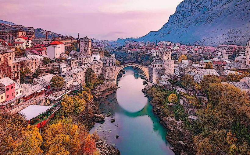
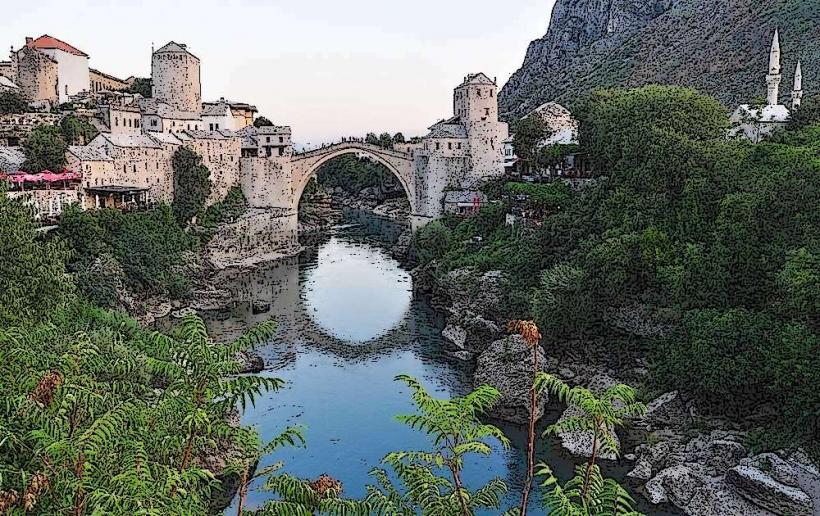
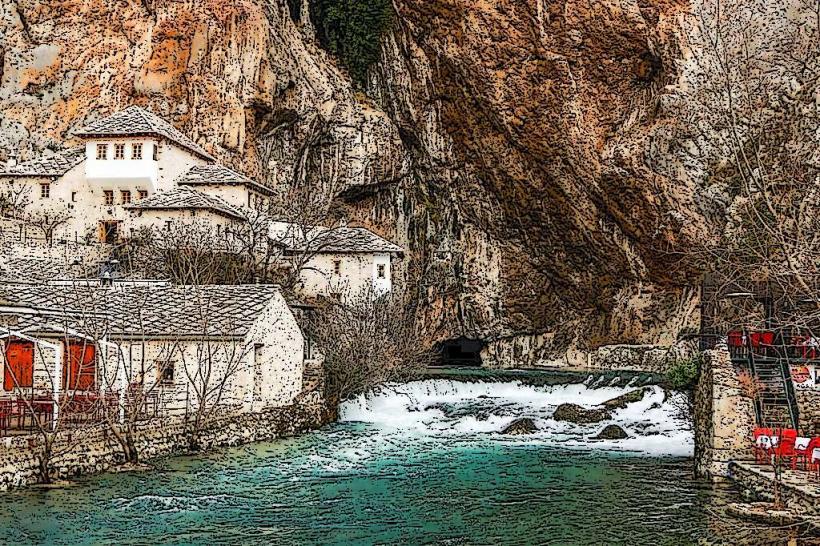
The Crooked Bridge (Kriva Ćuprija) is a stone arch bridge located in the oldest part of Mostar's historical center, spanning the Radobolja River. It is a miniature version of the larger Stari Most and serves as a pedestrian crossing within the western portion of the Old Town.
Visual Characteristics
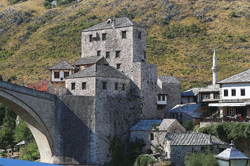
The bridge consists of a single semicircular arch with a span of 8.56 meters and a height of 4.15 meters. It is constructed from tenelija limestone, featuring a stone-paved walkway and low protective walls. The structure's proportions and "crooked" appearance are a result of the steep incline of the riverbanks it connects.
Location & Access Logistics
The site is situated approximately 150 meters west of the Stari Most, near the Jusovina and Onešćukova streets. It is part of a pedestrian-only zone. The nearest vehicle access is via the Gojka Vukovića street parking areas. Visitors arriving from the Mostar Main Station (1.8km North) should follow the signs for the Old Town and descend through the western bazaar area.
Historical & Ecological Origin
Built in 1558 by the Ottoman architect Ćejvan Kethoda, the bridge predates the Stari Most by eight years. It was originally constructed to test the structural feasibility of a stone arch design before attempting the larger span across the Neretva. The original structure survived for over 400 years until it was destroyed by floods in December 1999; it was subsequently reconstructed in 2001 with funding from UNESCO and the Grand Duchy of Luxembourg.
Key Highlights & Activities
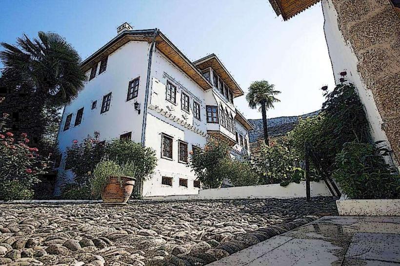
Visitors can walk across the bridge to access various traditional restaurants and craft shops located along the Radobolja River. The area around the bridge is a primary location for observing traditional Ottoman-style architecture and the network of water channels used by historical mills. It is a frequent subject for architectural photography due to the surrounding stone masonry.
Infrastructure & Amenities
Public restrooms are located within 100 meters at the nearby hotels and restaurants. The surrounding area is densely packed with cafes and souvenir vendors. 4G and 5G cellular signals are consistently available. The area is largely shaded by surrounding buildings and overhanging trees along the riverbank.
Best Time to Visit
The bridge is accessible 24 hours a day. Photography is most effective during the late morning when the sun illuminates the narrow Radobolja canyon, or in the evening when the surrounding restaurants are lit. Spring (April and May) is the optimal time to see the Radobolja River at its highest water level.
Facts & Legends
The bridge is widely considered the "prototype" or "blueprint" for the Stari Most, as the architect utilized its construction to calculate the precision required for the much larger 30-meter arch. Despite its smaller size, it utilizes the same dowel and lead-setting techniques found in major Ottoman engineering projects of the 16th century.
Nearby Landmarks
Stari Most (Old Bridge) - 0.15km East
Hamam Museum - 0.1km North
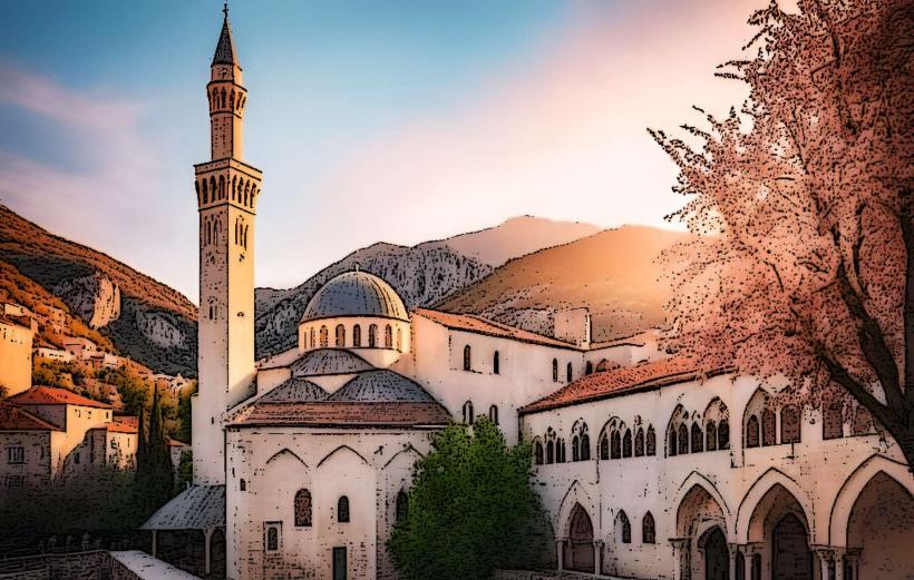
Tabacica Mosque - 0.1km Northeast
Nezir-Aga Mosque - 0.05km South
Old Bazaar (Kujundžiluk) - 0.3km East