Information
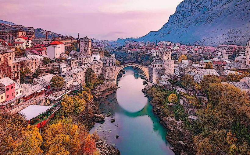
Landmark: Dugo PoljeCity: Mostar
Country: Bosnia and Herzegovina
Continent: Europe
Dugo Polje, Mostar, Bosnia and Herzegovina, Europe
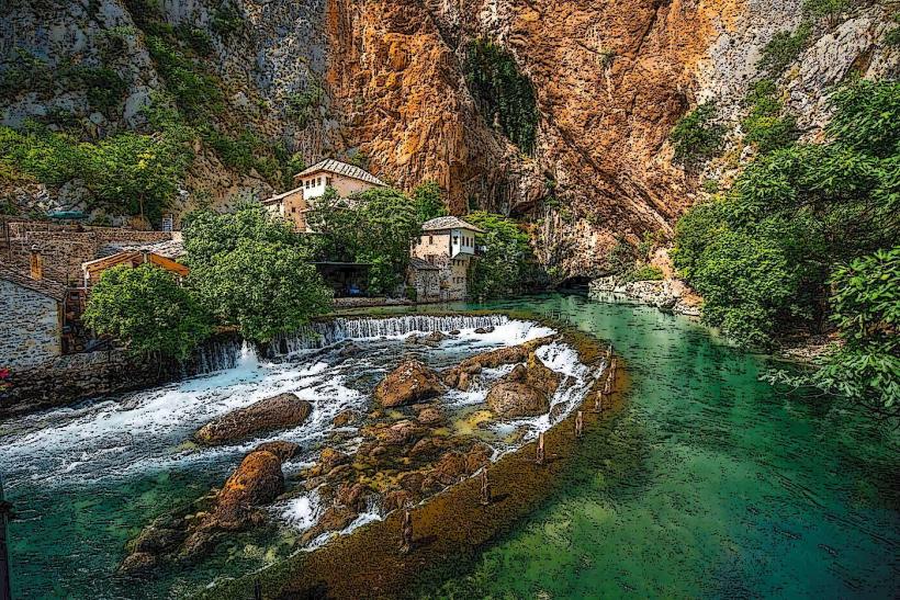
Dugo Polje is a high-altitude karst polje (field) situated on the Blidinje plateau between the Čvrsnica and Vran mountains. While located within the Jablanica and Posušje municipalities, it is a primary day-trip destination for residents of Mostar, located approximately 50km to the north. It is a protected area within the Blidinje Nature Park.
Visual Characteristics
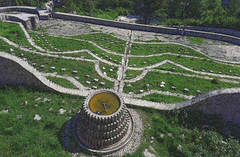
The site is a vast, flat tectonic depression characterized by treeless grasslands, surrounded by limestone peaks reaching over 2,000 meters. The landscape is dominated by the Necropolis of Dugo Polje, a collection of medieval tombstones (stećci) made of white limestone that contrast with the green alpine meadows. During winter, the area is completely covered in deep snow, transforming into a sub-alpine tundra.
Location & Access Logistics
Dugo Polje is situated along the R419 regional road connecting Jablanica and Posušje.
Access from Mostar: Driving via the M17 to Jablanica, then turning toward Blidinje (approx. 1 hour 15 minutes). An alternative route exists via Široki Brijeg and Rakitno.
Transit: No reliable public transport serves the polje. Private vehicle or organized mountain tour is required.
Parking: Informal parking is available near the necropolis and the nearby Hajdučke Vrleti restaurant complex.
Historical & Ecological Origin
The polje is of glacial and tectonic origin, sitting at an average elevation of 1,200 meters. It is historically significant as a transit route for nomadic shepherds and trade caravans. The Dugo Polje Necropolis is a UNESCO World Heritage site, containing 150 stećci (medieval tombstones) dating from the 14th and 15th centuries. These monuments represent the unique cultural heritage of the medieval Bosnian Kingdom.
Key Highlights & Activities
Necropolis Visit: Observation of the 72 chests, 54 slabs, 21 gabled tombstones, and 3 crosses. Many feature carvings of crosses, rosettes, and circular shields.
Hiking and Biking: The flat terrain is ideal for mountain biking, while the surrounding slopes of Vran and Čvrsnica offer strenuous hiking trails.
Blidinje Lake: Located at the southern edge of the polje, this is the largest glacial lake in Bosnia and Herzegovina.
Infrastructure & Amenities
Infrastructure is sparse. The nearest services (fuel, basic groceries) are in Jablanica or Posušje. Within the park, several mountain lodges and restaurants (notably Hajdučke Vrleti) provide food and restrooms. 4G/5G cellular signal is available but can be intermittent near the mountain bases. There are no paved walking paths around the tombstones; the terrain is natural grass and soil.
Best Time to Visit
Late Spring/Early Summer (May–June): Optimal for wildflowers and pleasant temperatures.
Winter (December–March): Ideal for snowshoeing and winter photography, though the road can occasionally be blocked by snowdrifts.
Autumn: Offers clear skies and high visibility for mountain peak observation.
Facts & Legends
The area is part of the self-proclaimed "Hajduk Republic of Mijat Tomić," a satirical micronation founded by local hospitality owners to protest administrative inefficiency. Legend says the stećci were placed by giants, as the stones are too heavy to have been moved by medieval technology across the rugged karst terrain.
Nearby Landmarks
Blidinje Lake – 3km South
Masna Luka (Franciscan Monastery) – 5km Southeast
Vran Mountain Peak – 4km West (hiking distance)
Hajdučka Vrata (Outlaw's Gate) – 8km East (strenuous hike on Čvrsnica)
Risovac Ski Center – 2km East