Information
Landmark: Radobolja RiverCity: Mostar
Country: Bosnia and Herzegovina
Continent: Europe
Radobolja River, Mostar, Bosnia and Herzegovina, Europe
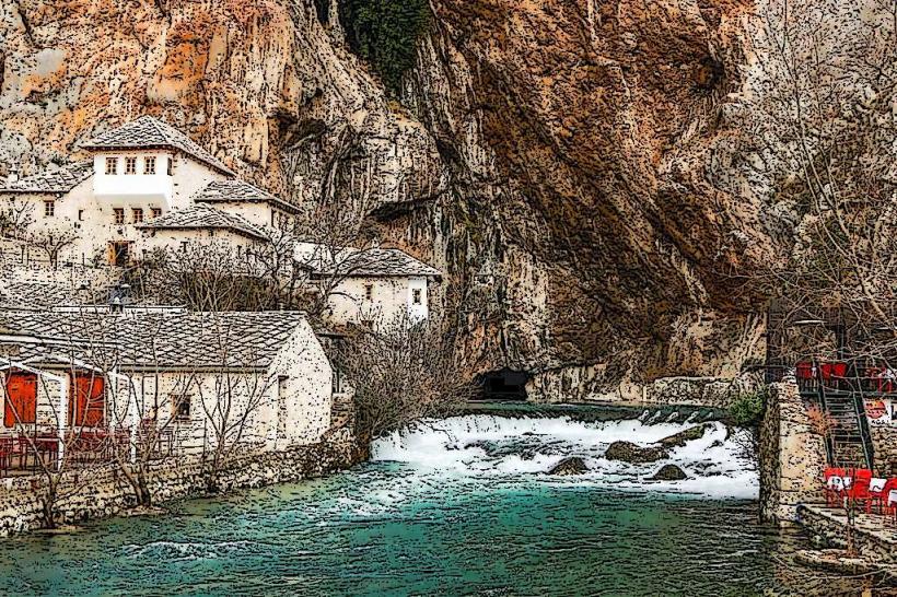
The Radobolja is a left-bank tributary of the Neretva River, flowing entirely through the city of Mostar. While short in length, it is historically and ecologically vital to the city’s urban development and hydraulic heritage.
Visual Characteristics
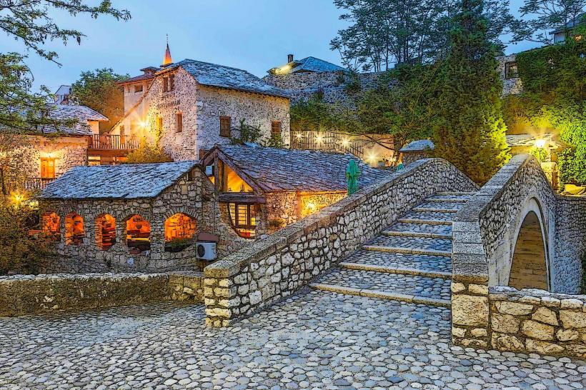
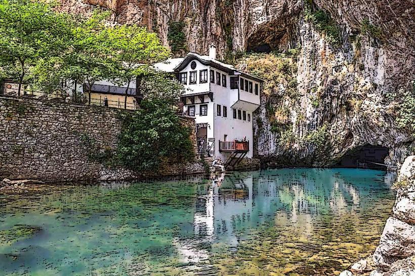
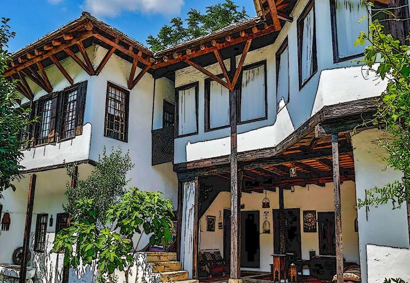
The river is characterized by its clear, shallow waters and a series of artificial stone-lined channels and weirs. In the Old Town, it flows through narrow stone canyons and passes under several small Ottoman-style bridges. Its banks are densely populated with Mediterranean vegetation, including fig trees and vines, and are lined with traditional stone mills and riverside restaurant terraces.
Location & Access Logistics
The Radobolja enters the city from the west (Ilići neighborhood) and flows through the Rondo district before reaching the Old Town.
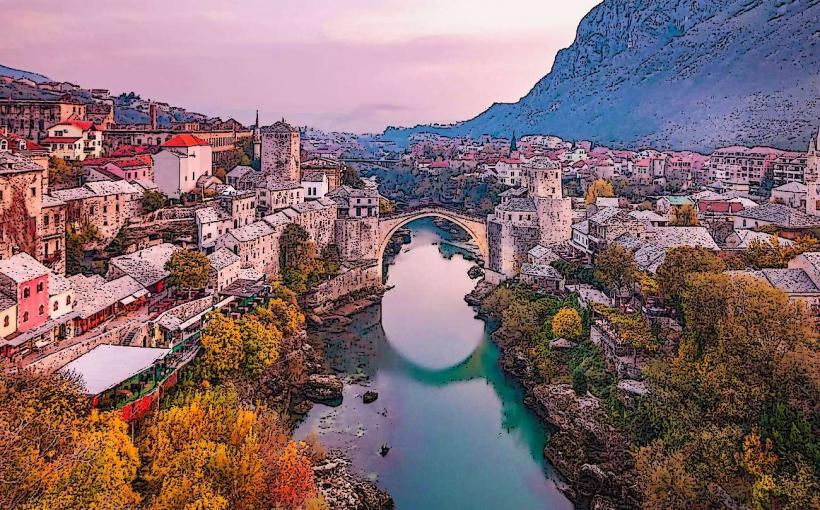
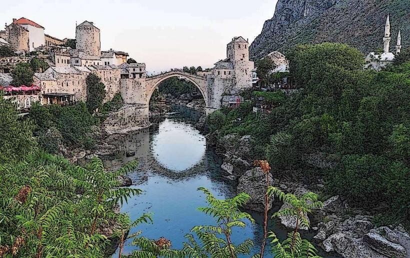
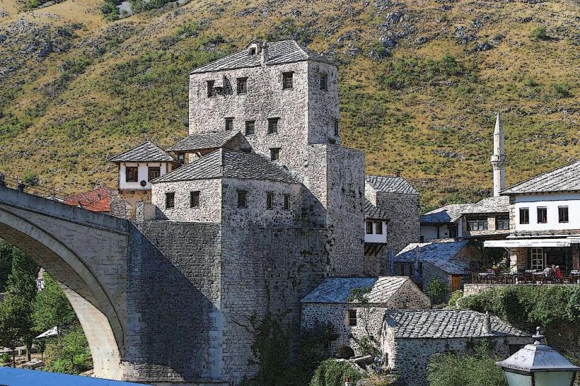
Mouth: It joins the Neretva River directly below the Stari Most.
Key Access Point: The Crooked Bridge (Kriva Ćuprija) area offers the most scenic pedestrian access.
Transit: Local bus lines serving the western suburbs (Ilići/Cim) follow the river's upper course. The lower course is best explored on foot within the pedestrian zone.
Historical & Ecological Origin
The river originates from a karst spring in the village of Ilići at the foot of Mount Planinica. Historically, the Radobolja was the primary source of drinking water and industrial power for Mostar. During the Ottoman period, an elaborate system of stone aqueducts and wooden pipes (tomruzi) distributed its water to mosques, public fountains, and private gardens throughout the city.
Key Highlights & Activities
Stone Mills: Several restored watermills (vodenice) are visible in the Jusovina district, some of which now function as cafes.
Culinary Hub: The lower reach of the river is lined with "bašte" (garden restaurants) where tables are situated directly over the water.
Photography: The confluence of the Radobolja and Neretva provides a unique perspective of the Stari Most from below.
Infrastructure & Amenities
The banks in the central city area are fully developed with paved walking paths and lighting. Public restrooms are available in the adjacent shopping areas and restaurants. 4G/5G cellular coverage is consistent along the entire urban stretch. Due to the river's shallow and rocky nature, it is not navigable by boat.
Best Time to Visit
The river is most impressive during the spring (March–May) when snowmelt from the surrounding mountains increases the water volume and velocity. In late summer (August), the water level can drop significantly, sometimes revealing the rocky bed in the upper reaches. Evening visits to the riverside restaurants in the Old Town are recommended for the cooler microclimate created by the running water.
Facts & Legends
According to local historians, the Radobolja was once so clean that it supplied the city's public baths (hamams) with water that required no filtration. Legend states that the river was "tamed" by the first Ottoman builders who diverted its flow into multiple smaller streams to ensure that every major neighborhood (mahala) on the right bank had access to running water for religious ablution.
Nearby Landmarks
Crooked Bridge (Kriva Ćuprija) – 0.0km (crosses the river)
Stari Most (Old Bridge) – 0.15km East
Hamam Museum – 0.1km North
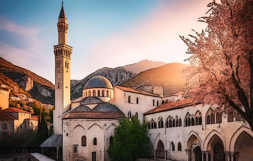
Nezir-Aga Mosque – 0.05km South
The Rondo Square – 1.2km West