Information
Landmark: El Risco de FamaraCity: La Graciosa
Country: Canary Islands
Continent: Europe
El Risco de Famara, La Graciosa, Canary Islands, Europe
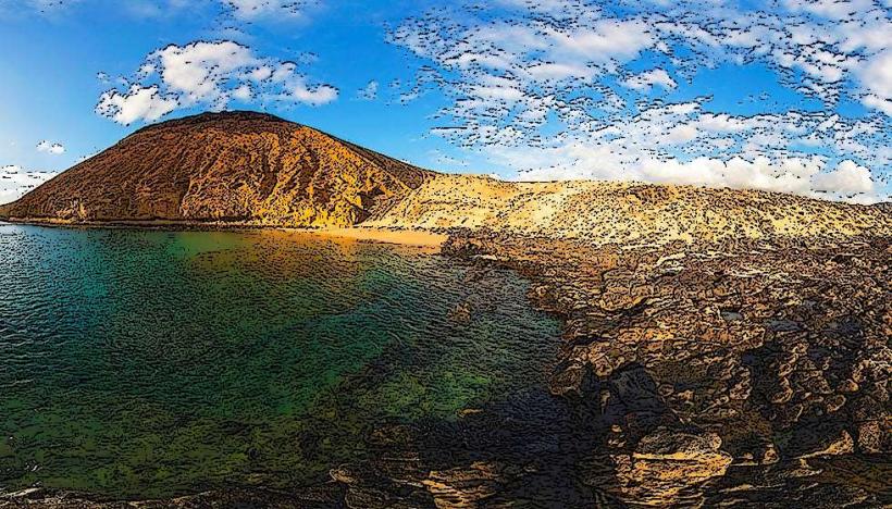
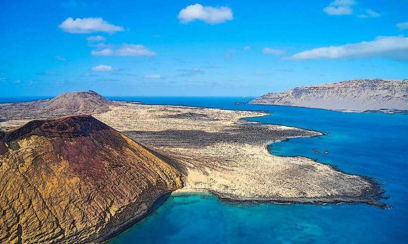
El Risco de Famara is a prominent cliff face forming the northern boundary of La Graciosa, Canary Islands. It constitutes the eastern edge of the strait known as El Río, separating La Graciosa from Lanzarote.
Visual Characteristics
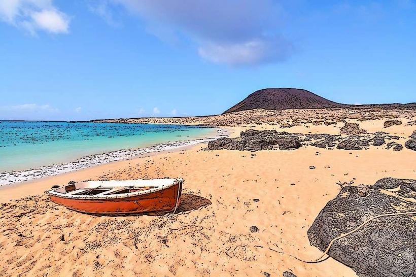
The cliff face of El Risco de Famara rises approximately 671 meters above sea level. It is composed of dark volcanic rock, exhibiting stratified layers and a rugged, eroded texture. The rock's dark grey and reddish-brown hues contrast with the deep blue of the Atlantic Ocean below and the lighter sands of La Graciosa.
Location & Access Logistics
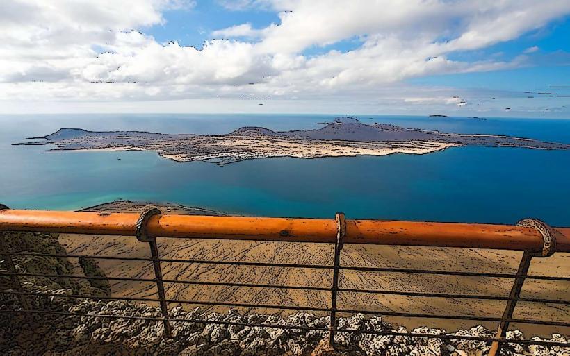
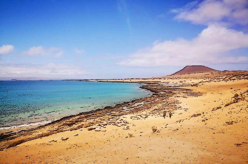
El Risco de Famara dominates the northern horizon of La Graciosa. Access to La Graciosa is primarily via ferry from Órzola, Lanzarote, arriving at Caleta de Sebo. From Caleta de Sebo, the base of the cliff can be reached by walking or cycling along unpaved tracks towards the north-east, approximately 5-7 km. No private vehicles are permitted on La Graciosa; parking is available in Órzola on Lanzarote.
Historical & Ecological Origin
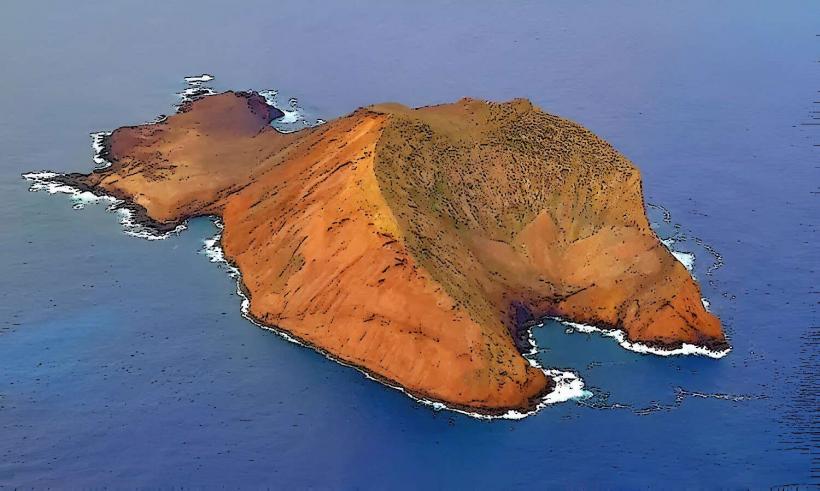
El Risco de Famara is a geological formation of volcanic origin, part of the older Famara massif on Lanzarote. It represents the eroded remains of a large shield volcano, with its western flank having collapsed into the sea, forming the strait between Lanzarote and La Graciosa. The cliff face is a significant geomorphological feature, showcasing layers of basaltic lava flows and pyroclastic deposits.
Key Highlights & Activities
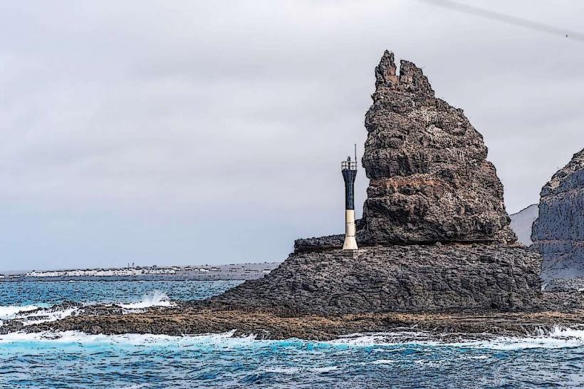
Activities include hiking along the unpaved tracks at the base of the cliff for panoramic views of the strait and Lanzarote. Photography of the cliff face and the strait of El Río is a primary activity. Birdwatching for seabirds nesting on the cliff is also possible, particularly for species like Cory's shearwater.
Infrastructure & Amenities
There are no direct infrastructure or amenities at the base of El Risco de Famara on La Graciosa. Restrooms, food vendors, and basic services are available in Caleta de Sebo. Cell phone signal (4G) is generally available but can be intermittent at the base of the cliff due to topography. Shade is minimal along the tracks.
Best Time to Visit
The best time to visit for photography is during the morning hours when the sun illuminates the cliff face from the east. The months of April to June and September to November offer milder temperatures and less wind. No specific tide requirements affect access to the cliff itself, but sea conditions in El Río can vary.
Facts & Legends
Local legend suggests that the strait of El Río was named for its river-like appearance from the top of the Risco, despite being a sea channel. A verified historical oddity is the existence of the Salinas del Río, salt pans located at the base of the Risco on the Lanzarote side, which were once a significant industry.
Nearby Landmarks
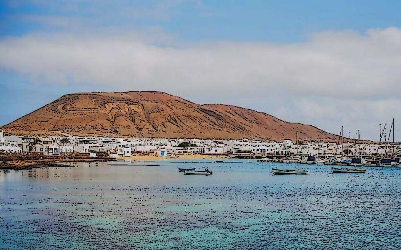
- Caleta de Sebo: 6km South-West
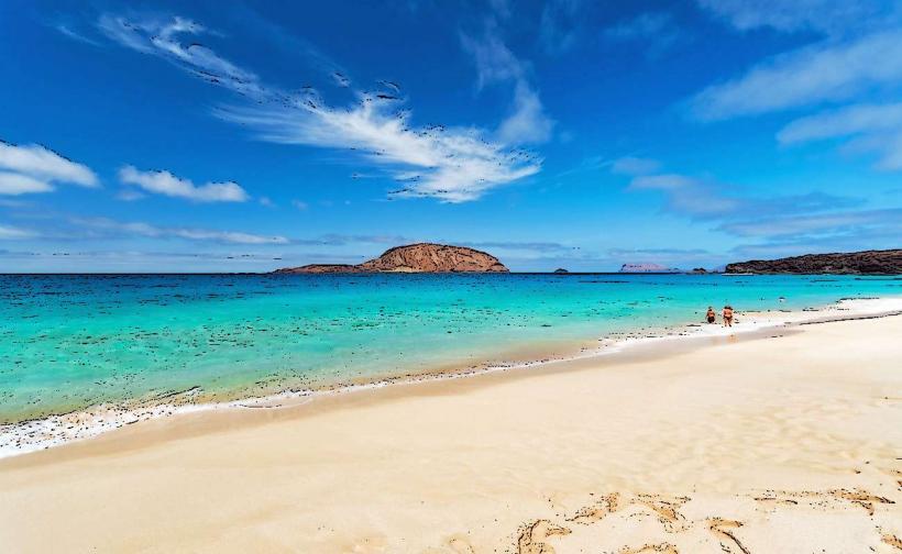
- Playa de las Conchas: 4km West
- Pedro Barba: 3km North-West
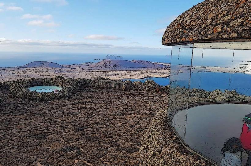
- Mirador del Río (Lanzarote): 2km East (across El Río)