Information
Landmark: El TamarindoCity: San Miguel
Country: El Salvador
Continent: North America
El Tamarindo, San Miguel, El Salvador, North America
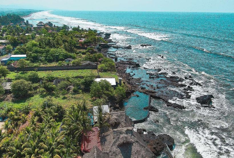
El Tamarindo is a coastal village located in the department of La Unión, El Salvador, situated on the Pacific coast.
This location serves as a primary access point for marine activities and local fishing operations.
Visual Characteristics
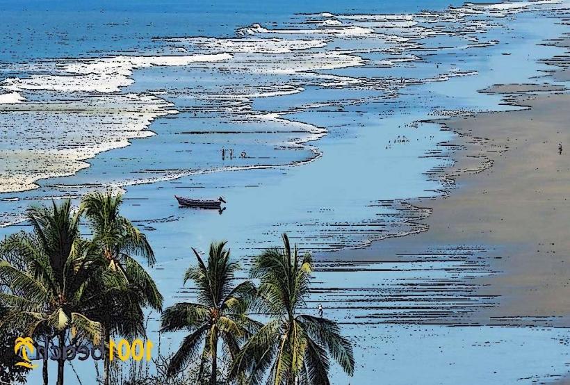
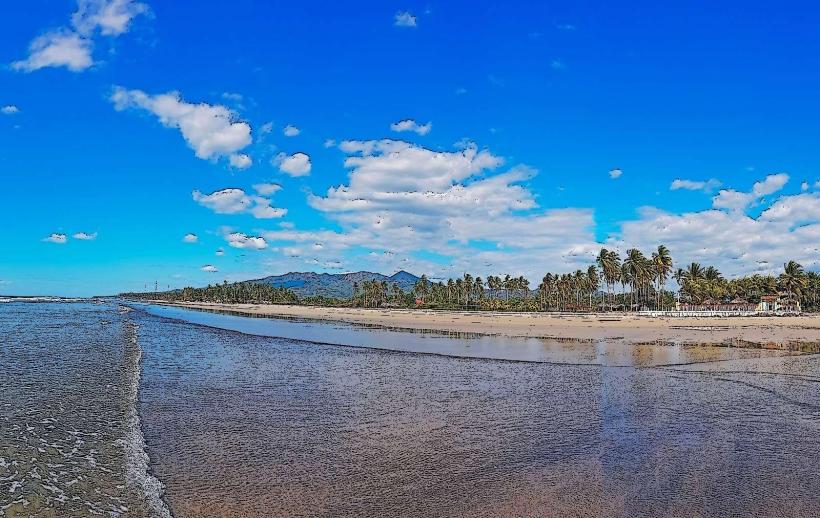
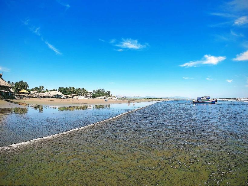
The coastline at El Tamarindo features dark volcanic sand. The water color varies from deep blue to turquoise depending on sunlight and depth. The village itself consists of low-rise structures, predominantly concrete and corrugated metal, with fishing boats moored along the shore and in a small bay.
Location & Access Logistics
El Tamarindo is approximately 20 kilometers east of San Miguel city center. Access is via Carretera Litoral (CA-2) eastbound, then turning south onto a local road marked for El Tamarindo. Parking is available in designated informal lots near the waterfront, typically managed by local vendors. Public transport options include local buses (rutas) originating from San Miguel's main terminal, which stop at the turn-off for El Tamarindo; a further local taxi or motorcycle taxi is required for the final stretch to the village.
Historical & Ecological Origin
El Tamarindo's origin is tied to its natural harbor, historically utilized by local fishing communities. Ecologically, it is part of the Pacific coastal plain, characterized by mangrove systems and marine estuaries that support diverse aquatic life. The area's geological formation is volcanic, with sediments carried down from the inland mountains.
Key Highlights & Activities
Boat tours to nearby islands and marine reserves are available. Fishing excursions, both recreational and observational, can be arranged. Swimming is possible in designated areas, though currents should be noted. Local seafood consumption at waterfront eateries is a primary activity.
Infrastructure & Amenities
Restrooms are available at some waterfront establishments. Shade is provided by palapas and building overhangs. Cell phone signal (4G) is generally available. Food vendors and small restaurants offering local cuisine are present along the main waterfront area.
Best Time to Visit
For photography, early morning (06:00-08:00) and late afternoon (16:00-18:00) offer optimal lighting conditions. The dry season, from November to April, provides the most stable weather. High tide is generally preferable for boat access and clearer water visibility.
Facts & Legends
Local lore suggests that the bay was a frequent stopping point for pre-Columbian traders navigating the Pacific coast. A specific tip for visitors is to inquire about the daily catch from local fishermen for the freshest seafood options at nearby restaurants.
Nearby Landmarks
- Playa Las Tunas (1.5km West)
- Bahía de La Unión (3km East)
- Isla El Tigre (accessible by boat, approx. 8km South-East)
- Parque Nacional Montecristo (approx. 45km North-West, requires significant travel)