Information
Landmark: Playas NegrasCity: San Miguel
Country: El Salvador
Continent: North America
Playas Negras, San Miguel, El Salvador, North America
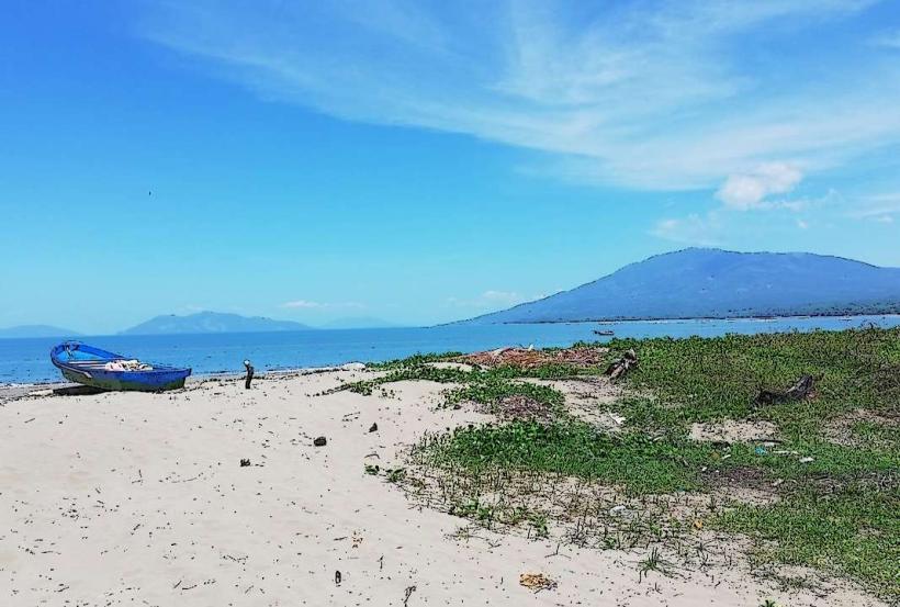
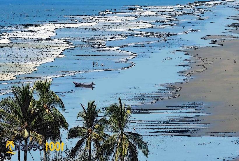
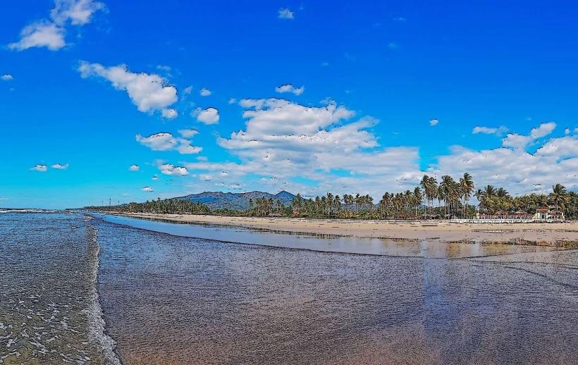
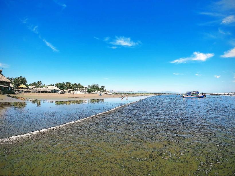
Playas Negras is a coastal area located in the municipality of San Miguel, El Salvador. It is characterized by its dark volcanic sand beaches.
Visual Characteristics
The beach consists of fine-grained, black volcanic sand. The shoreline is approximately 2 kilometers long. The Pacific Ocean waters are typically a deep blue, with moderate wave action suitable for surfing. Coastal vegetation includes salt-tolerant grasses and scattered palm trees.
Location & Access Logistics
Playas Negras is situated approximately 15 kilometers south of the city center of San Miguel. Access is via the CA-2 highway, turning south onto the unpaved road marked "Playas Negras." The unpaved section is approximately 3 kilometers long and can be rough, requiring a vehicle with adequate clearance. Limited parking is available at designated points near the beach access. No public transport directly serves Playas Negras; nearest bus routes terminate in nearby coastal villages, requiring a taxi or private vehicle for the final leg.
Historical & Ecological Origin
The black sand is a result of volcanic activity from nearby cones, primarily Volcán Chaparrastique, which has eroded over millennia, depositing basaltic particles into the ocean and onto the coastline. Ecologically, it is a coastal marine environment within the Tropical Dry Forest ecoregion.
Key Highlights & Activities
Surfing is a primary activity due to consistent wave patterns. Beachcombing for volcanic glass fragments is possible. Observation of local birdlife, including shorebirds, is common. Swimming is permitted but requires caution due to currents.
Infrastructure & Amenities
There are no permanent restroom facilities or shade structures directly on Playas Negras. Local vendors may be present during peak seasons selling food and drinks, but availability is not guaranteed. Cell phone signal (4G) is generally available but can be intermittent closer to the water's edge.
Best Time to Visit
The best time for photography is during the early morning or late afternoon when the sun angle creates distinct shadows on the dark sand. The dry season, from November to April, offers the most consistent weather with less rainfall. Wave conditions are often optimal for surfing between May and October.
Facts & Legends
Local folklore suggests that the black sand holds protective properties, and some residents collect it for use in traditional remedies. A specific geological feature known as "Piedra de los Pájaros" (Bird Rock), a large volcanic rock formation offshore, is a nesting site for various seabirds.
Nearby Landmarks
- Laguna El Jocotal (10km Northeast)
- Volcán Chaparrastique (18km North)
- Playa El Espino (25km West)
- Puerto El Triunfo (30km Southwest)