Information
Landmark: Gulf of FonsecaCity: San Miguel
Country: El Salvador
Continent: North America
Gulf of Fonseca, San Miguel, El Salvador, North America
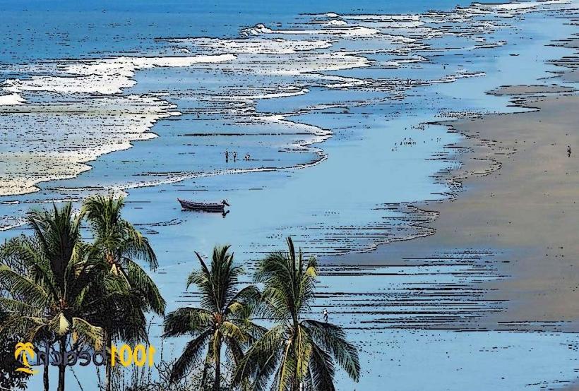
The Gulf of Fonseca is a large bay located on the Pacific coast of Central America, bordering El Salvador, Honduras, and Nicaragua. This specific entry focuses on its Salvadoran portion, accessible from the city of San Miguel.
Visual Characteristics
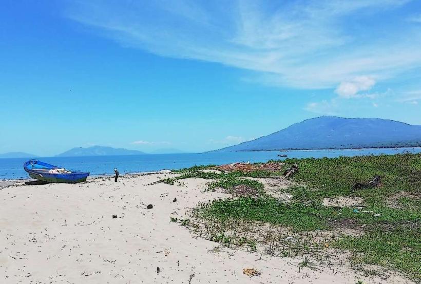
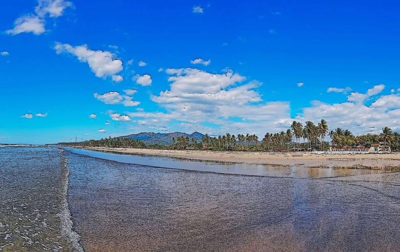
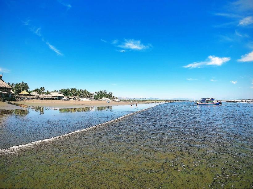
The gulf's coastline is characterized by mangrove forests and a series of islands and islets. The water color varies from deep blue offshore to a more greenish-brown closer to the coast due to sediment runoff. The islands are generally low-lying and covered in dense tropical vegetation.
Location & Access Logistics
The Salvadoran access point to the Gulf of Fonseca is primarily via the port town of La Unión, approximately 170 km east of San Miguel city. From San Miguel, take Highway CA-2 East towards La Unión. In La Unión, follow signs for the port facilities. Parking is available at the main port area in La Unión. Public transport options include intercity buses from San Miguel to La Unión. From La Unión, local boats (lanchas) can be hired for transport to the islands and coastal areas.
Historical & Ecological Origin
The Gulf of Fonseca is a geologically significant feature, believed to have formed from tectonic activity and subsequent sedimentation. It is an important estuarine environment, supporting extensive mangrove ecosystems that are crucial for biodiversity and coastal protection. Historically, it served as a vital trade route and fishing ground for indigenous populations and later colonial powers.
Key Highlights & Activities
Activities include boat tours through the mangrove channels, birdwatching, and visiting the islands such as Isla Meanguera and Isla Conchaguita. Fishing is a common activity for local communities. Swimming is possible in designated areas, particularly around the islands.
Infrastructure & Amenities
Basic amenities are available in La Unión, including restaurants and small shops. On the islands, facilities are minimal, often limited to small local eateries. Restrooms are generally available at the main port in La Unión. Cell phone signal (4G) is typically available in La Unión and along the coast, but may be intermittent on the islands.
Best Time to Visit
The dry season, from November to April, offers the most favorable weather conditions with less rainfall. The best time of day for photography is generally in the early morning or late afternoon when the light is softer. High tide is preferable for navigating some of the narrower mangrove channels.
Facts & Legends
The Gulf of Fonseca is known for its rich marine life, including various species of fish, crustaceans, and migratory birds. A local legend speaks of a mythical sea creature said to inhabit the deeper parts of the gulf, though no scientific evidence supports this.
Nearby Landmarks
- Parque Nacional El Imposible: 85km West (approximate distance, inland)
- Cerro Verde National Park: 150km West (approximate distance, inland)
- Ruinas de San Andrés: 140km West (approximate distance, inland)
- Tazumal Archaeological Site: 145km West (approximate distance, inland)
- Playa El Tunco: 180km West (approximate distance, coastal)