Information
Landmark: Faro San IsidroCity: Punta Arenas
Country: Chile
Continent: South America
Faro San Isidro, Punta Arenas, Chile, South America
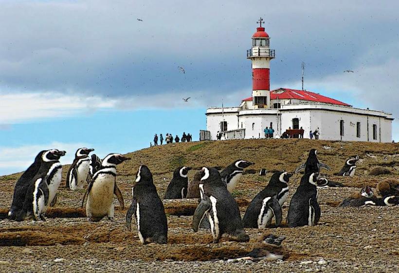
Faro San Isidro is a lighthouse situated on the western coast of the Brunswick Peninsula, near Punta Arenas, Chile.
This structure serves as a navigational aid for vessels transiting the Strait of Magellan.
Visual Characteristics
The lighthouse is a cylindrical tower constructed from reinforced concrete. It stands approximately 30 meters in height. The exterior is painted white with a red horizontal band encircling the upper section. A lantern room with a glass enclosure is positioned at the apex, topped by a red metal roof.
Location & Access Logistics
Faro San Isidro is located approximately 25 kilometers west of Punta Arenas. Access is via the Route Y-50, a paved road that transitions to gravel for the final 5 kilometers. Vehicle access is permitted to a small parking area adjacent to the lighthouse. Public transport options are not available directly to the site.
Historical & Ecological Origin
Construction of Faro San Isidro was completed in 1919. It was built by the Chilean Navy to enhance maritime safety in the Strait of Magellan. The site is situated on a rocky promontory overlooking the strait, part of the coastal ecosystem of the Strait of Magellan.
Key Highlights & Activities
Observation of maritime traffic transiting the Strait of Magellan. Photography of the lighthouse structure and surrounding coastal landscape. Birdwatching, particularly seabirds common to the region.
Infrastructure & Amenities
No public restrooms are available at the site. Limited natural shade is provided by the lighthouse structure itself. Cell phone signal (4G/5G) is generally unreliable in this remote location. No food vendors are present at the lighthouse; visitors should bring provisions.
Best Time to Visit
For photography, the late afternoon offers favorable lighting conditions due to the western orientation. The months of December through March generally provide the most stable weather patterns with less precipitation and wind. Tidal conditions do not significantly impact access to the lighthouse itself.
Facts & Legends
During its operational period, the lighthouse keeper was responsible for maintaining the light and foghorn, often in isolation. A local anecdote suggests that during particularly severe storms, the sound of the foghorn could be heard for miles inland, serving as a constant reminder of the strait's power.
Nearby Landmarks
- Punta Arenas City Center (25km East)
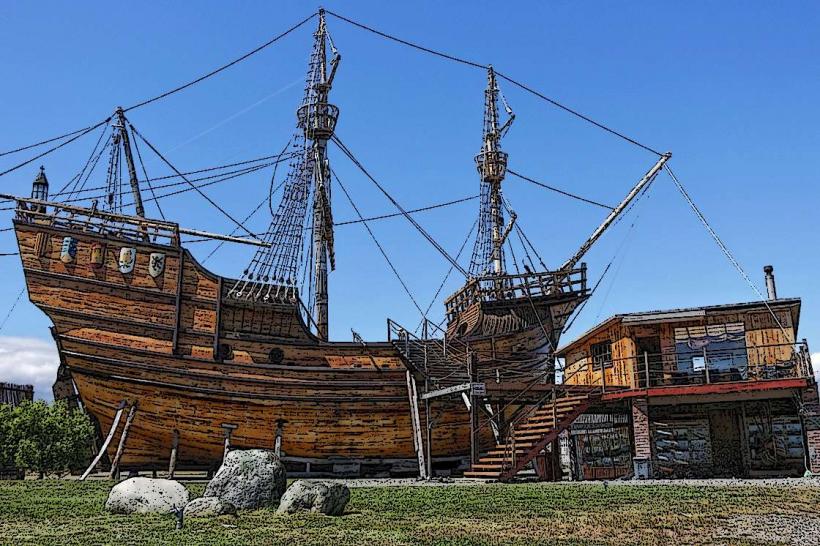
- Museo Nao Victoria (23km East)
- Cabo Negro (18km Southeast)
- Parque del Estrecho (20km East)