Information
Landmark: Parque del Estrecho de MagallanesCity: Punta Arenas
Country: Chile
Continent: South America
Parque del Estrecho de Magallanes, Punta Arenas, Chile, South America
Parque del Estrecho de Magallanes is a protected natural area situated on the northern coast of the Brunswick Peninsula, adjacent to the Strait of Magellan, near Punta Arenas, Chile.
Visual Characteristics
The park features a coastline characterized by rocky shores and small coves. Vegetation consists primarily of Magellanic subpolar forest, with species like lenga (Nothofagus pumilio) and ñire (Nothofagus antarctica). The terrain is undulating, with elevations ranging from sea level to approximately 200 meters. The waters of the Strait of Magellan are typically grey or deep blue, depending on weather conditions.
Location & Access Logistics
The park is located approximately 35 kilometers north of Punta Arenas. Access is via the Ruta Y-50 (Costanera del Estrecho) for 30 kilometers, then turning onto a gravel road for an additional 5 kilometers. Parking is available at designated areas near the park entrance and key viewpoints. Public transport options are limited; a private vehicle is recommended. No specific bus lines service the park directly.
Historical & Ecological Origin
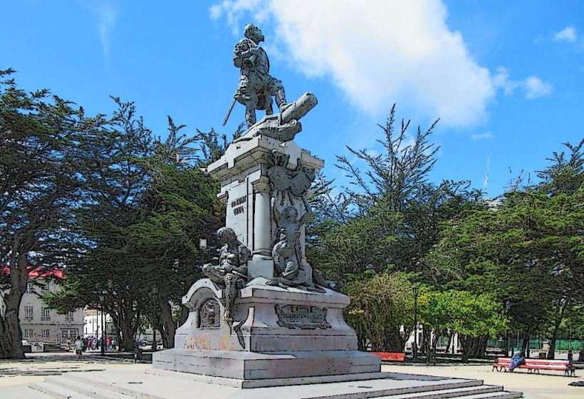
The park was established to protect the ecological integrity of the Strait of Magellan and its surrounding terrestrial environments. Ecologically, it represents a transition zone between temperate and subantarctic ecosystems. Historically, the Strait of Magellan was a crucial maritime passage, explored by Ferdinand Magellan in 1520. The area contains evidence of indigenous settlements and early European exploration.
Key Highlights & Activities
Activities include hiking on marked trails such as the Sendero de la Costa (Coastal Trail) and the Sendero del Bosque (Forest Trail). Birdwatching is a primary activity, with opportunities to observe marine and terrestrial species. Photography of the strait and its coastline is possible. Educational interpretation centers provide information on the area's natural and historical significance.
Infrastructure & Amenities
Restrooms are available at the main visitor center. Limited shade is provided by the forest canopy. Cell phone signal (4G/5G) is intermittent and generally unavailable in most areas of the park. No food vendors are present within the park; visitors should bring their own provisions.
Best Time to Visit
The best months for visiting are from October to April, offering milder weather. Mid-morning (9:00 AM - 11:00 AM) and late afternoon (3:00 PM - 5:00 PM) provide optimal lighting for photography due to lower sun angles. Tidal conditions do not significantly impact access or activities within the park.
Facts & Legends
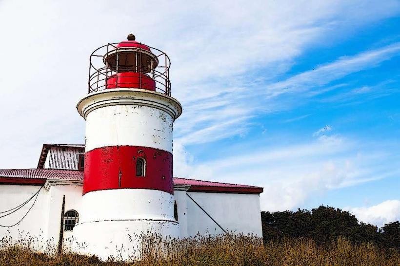
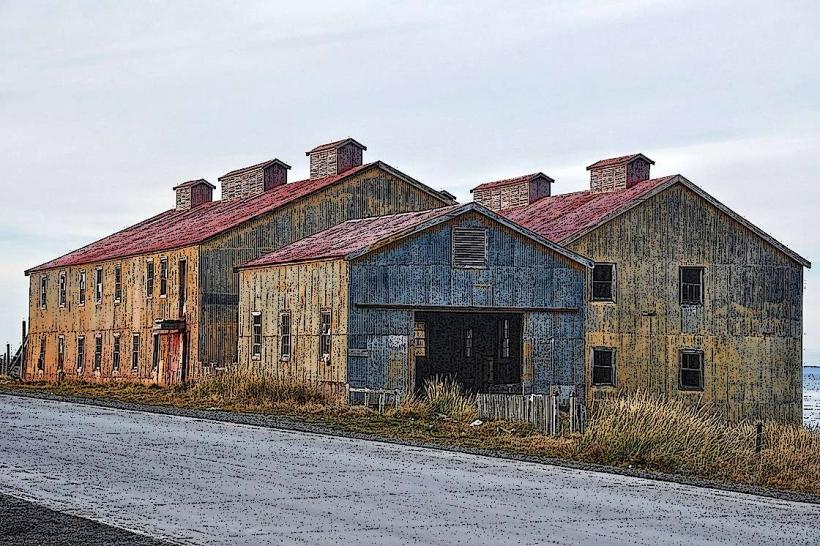
A specific point of interest is the Fuerte Bulnes, a reconstructed 19th-century fort that served as the first Chilean settlement in the Strait of Magellan. Local lore speaks of shipwrecks and the challenging conditions faced by early navigators in the strait.
Nearby Landmarks
- Fuerte Bulnes (0.5km South)
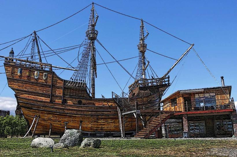
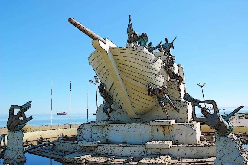
- Museo Nao Victoria (32km South)
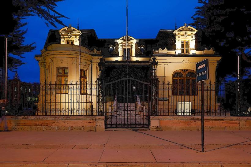
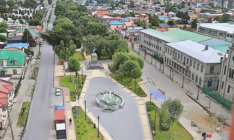
- Punta Arenas City Center (35km South)
- Cabo Negro Wildlife Reserve (15km South)