Information
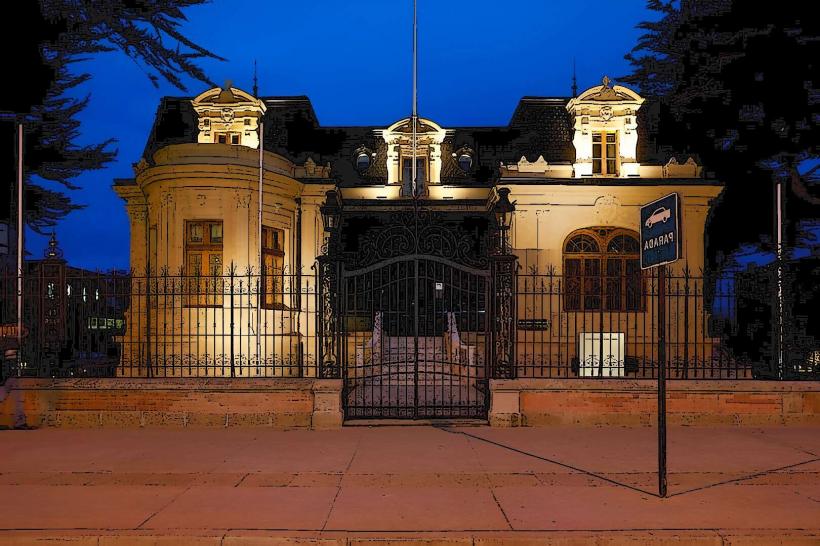
Landmark: Parque Nacional Torres del PaineCity: Punta Arenas
Country: Chile
Continent: South America
Parque Nacional Torres del Paine, Punta Arenas, Chile, South America
Parque Nacional Torres del Paine is a protected area located in Chilean Patagonia, south of the city of Punta Arenas.
This national park encompasses a significant portion of the Patagonian Andes, featuring granite peaks, glaciers, lakes, and rivers.
Visual Characteristics
The park's dominant features are the three granite towers (Torres del Paine) that rise over 2,000 meters. The landscape includes the Grey Glacier, a large outlet glacier of the Southern Patagonian Ice Field, and several glacial lakes such as Pehoé, Nordenskjöld, and Sarmiento, which exhibit varying shades of blue and turquoise. Vegetation consists of Nothofagus forests, grasslands, and scrublands adapted to the region's strong winds and variable climate.
Location & Access Logistics
The park is approximately 112 kilometers (70 miles) north of Puerto Natales, the closest town to Punta Arenas. Access from Punta Arenas involves a drive of approximately 250 kilometers (155 miles) to Puerto Natales, followed by the onward journey to the park. The main access road is Route Y-150, which leads to the park entrance. Parking is available at various points within the park, including visitor centers and trailheads. Public transport options include bus services from Punta Arenas and Puerto Natales to the park entrances, operated by companies like Bus-Sur and Buses Fernández.
Historical & Ecological Origin
The geological formation of the park's iconic granite peaks is attributed to the intrusion of igneous rock (granite) into sedimentary rock, followed by extensive erosion from glaciers and wind over millions of years. The park was established as a national park in 1959 and expanded over time to its current size. Its ecological classification is Patagonian Andean steppe and subpolar forest.
Key Highlights & Activities
Hiking is a primary activity, with trails such as the "W" circuit and the "O" circuit offering multi-day trekking experiences. Day hikes include the trek to the base of the Torres del Paine towers, the French Valley, and the Grey Glacier viewpoint. Boat trips are available on Lake Pehoé to observe the Paine Massif from the water. Wildlife observation, including guanacos, condors, and pumas, is also a significant draw. Kayaking and horseback riding are offered in specific areas.
Infrastructure & Amenities
Within the park, there are several visitor centers, including CONAF (Corporación Nacional Forestal) ranger stations, which provide information and basic facilities. Lodging options range from campsites and refugios (mountain huts) to hotels. Restrooms are available at major trailheads and visitor centers. Shade is limited in open grassland areas but present within forested sections. Cell phone signal is intermittent and generally unavailable in remote areas; 4G/5G coverage is not reliable. Food vendors are present at some hotels and refugios, and limited supplies can be purchased at the park entrances.
Best Time to Visit
The optimal period for visiting is during the austral summer, from December to February, offering longer daylight hours and generally more stable weather. However, this is also the busiest season. The shoulder months of October-November and March-April provide fewer crowds and autumn colors, but with increased chances of inclement weather. Wind is a constant factor year-round. For photography, early morning and late afternoon light can provide optimal illumination of the granite towers, though cloud cover is frequent.
Facts & Legends
The name "Paine" is derived from the indigenous Tehuelche word "Paine," meaning "blue," referring to the color of the park's lakes. A local legend suggests that the granite towers were once giants turned to stone by a sorcerer. A specific tip for visitors is to be prepared for all four seasons in a single day, regardless of the time of year, due to the unpredictable Patagonian weather.
Nearby Landmarks
- Cueva del Milodón Natural Monument (15km Southwest)
- Puerto Natales (112km Southwest)
- Estancia Cerro Negro (20km West)
- Laguna Azul (10km Northeast)