Information
Landmark: Flores IslandCity: Flores
Country: Guatemala
Continent: North America
Flores Island, Flores, Guatemala, North America
Flores Island is a man-made island situated in Lake Petén Itzá, adjacent to the city of Flores, Guatemala.
Visual Characteristics
The island is characterized by its compact urban layout, featuring colonial-era architecture constructed primarily from stucco-covered brick and stone. Buildings are typically painted in pastel shades of yellow, blue, and pink. The island's perimeter is defined by a stone retaining wall that meets the lake's surface.
Location & Access Logistics
Flores Island is connected to the mainland city of Flores by a causeway. The city of Flores is approximately 500 kilometers north of Guatemala City. Access to the island is via the causeway, which accommodates vehicular traffic. Parking is available on the mainland or in designated areas on the island, though space is limited. Public transportation to Flores city includes intercity buses from Guatemala City and other major towns. Within Flores, mototaxis provide local transport.
Historical & Ecological Origin
The island was originally a Maya settlement known as Tayasal. It was the last Maya city to fall to the Spanish conquistadors in 1697. The current urban structure developed over centuries of continuous habitation and rebuilding.
Key Highlights & Activities
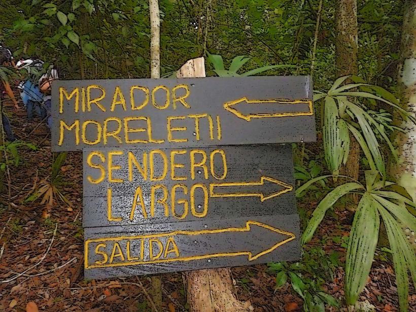
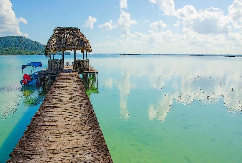
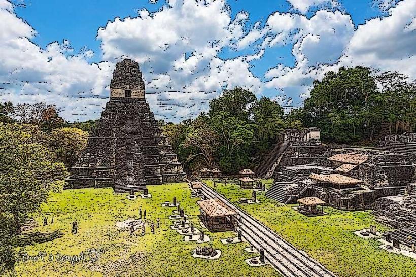
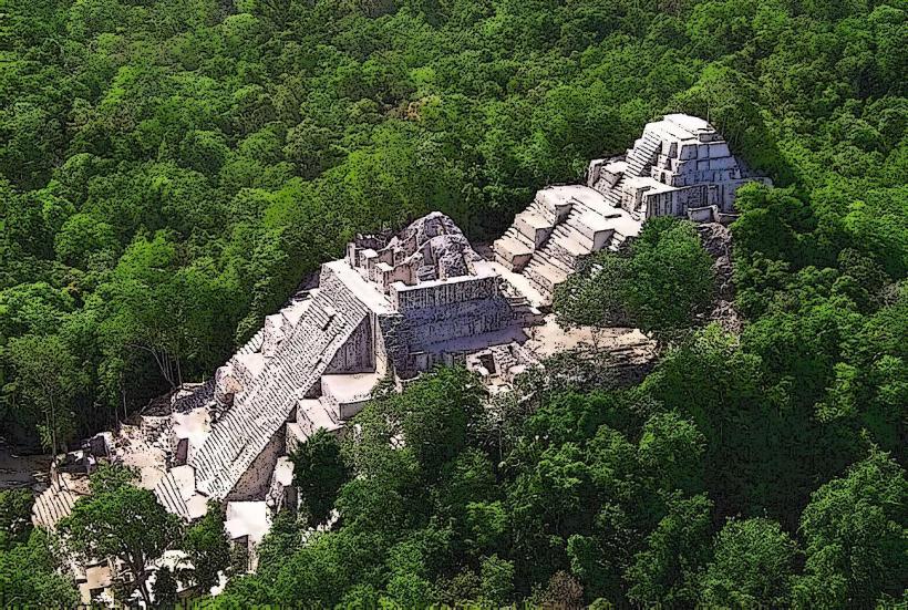
Visitors can walk the perimeter of the island, observing the lake and surrounding mainland. Boat tours of Lake Petén Itzá depart from the island's waterfront. The island serves as a base for exploring nearby Maya ruins such as Tikal and Yaxha. Exploring the narrow streets and observing the architecture is a primary activity.
Infrastructure & Amenities
The island has a network of paved streets. Restrooms are available in restaurants and hotels. Shade is provided by building overhangs and some trees. Cell phone signal (4G) is generally available. Numerous restaurants and small shops are located on the island.
Best Time to Visit
The best time of day for photography is generally late afternoon, when the sun is lower and casts longer shadows. The dry season, from November to April, offers the most favorable weather conditions with less rainfall. The lake level does not significantly impact access to the island.
Facts & Legends
A notable historical event is the final stand of the Itza Maya against Spanish forces on Tayasal. The island's original Maya name, Tayasal, translates to "Place of the Sharp Rocks."
Nearby Landmarks
- Tikal National Park (16km Southwest)
- Arco Maya (0.2km West)
- Jorge's Rope Swing (1.5km West)
- Petén Itzá Lake (Surrounding)