Information
Landmark: Ixpanpajul Nature ParkCity: Flores
Country: Guatemala
Continent: North America
Ixpanpajul Nature Park, Flores, Guatemala, North America
Ixpanpajul Nature Park is a protected area located near Flores, Guatemala. It encompasses a significant tract of tropical rainforest.
Visual Characteristics
The park features dense tropical rainforest vegetation with a canopy reaching approximately 30-40 meters in height. Dominant tree species include ceiba, mahogany, and various palm varieties. The terrain is characterized by rolling hills and limestone formations. Several small, clear streams traverse the park.
Location & Access Logistics
Ixpanpajul Nature Park is situated approximately 15 kilometers east of Flores. Access is via the CA-13 highway. Turn south onto the unpaved road marked for Ixpanpajul, approximately 1 kilometer after passing the village of San Miguel. The unpaved road is approximately 3 kilometers long and is generally passable for standard vehicles, though high clearance is recommended during the rainy season. Parking is available at the park entrance. Public transport options directly to the park are limited; visitors typically arrange private transport or taxis from Flores.
Historical & Ecological Origin
Ixpanpajul Nature Park was established to conserve the Petén Basin's rainforest ecosystem, which is characterized by karst topography and a high level of biodiversity. The area has been subject to logging in the past, and the park's creation aims to facilitate reforestation and habitat protection. Ecologically, it represents a transition zone between lowland tropical rainforest and areas influenced by the nearby Lake Petén Itzá.
Key Highlights & Activities
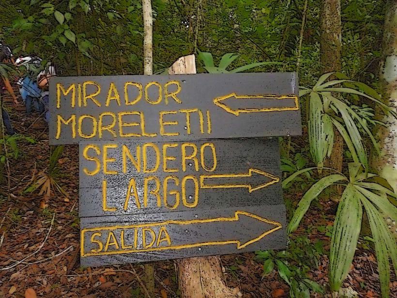
Activities include walking the park's network of trails, observing wildlife such as howler monkeys, spider monkeys, and numerous bird species. A canopy walkway provides elevated views of the forest. Ziplining tours are also offered. Visitors can explore the park's cave systems with a guide.
Infrastructure & Amenities
Restrooms are available at the main visitor center. Limited shaded areas are provided by natural tree cover and designated picnic spots. Cell phone signal (4G/5G) is inconsistent within the park, particularly in denser forest areas. Food vendors are typically located near the park entrance, offering local snacks and beverages.
Best Time to Visit
The dry season, from November to April, offers the most favorable weather conditions with less rainfall. The early morning hours (6:00 AM - 9:00 AM) provide optimal lighting for photography and increased chances of observing active wildlife. The park is open year-round.
Facts & Legends
Local folklore suggests that the park's caves were once used by ancient Maya priests for rituals. A specific geological feature, a large sinkhole known as "El Cenote," is said to be a portal to the underworld in some indigenous narratives.
Nearby Landmarks
- 0.5km West: CA-13 Highway
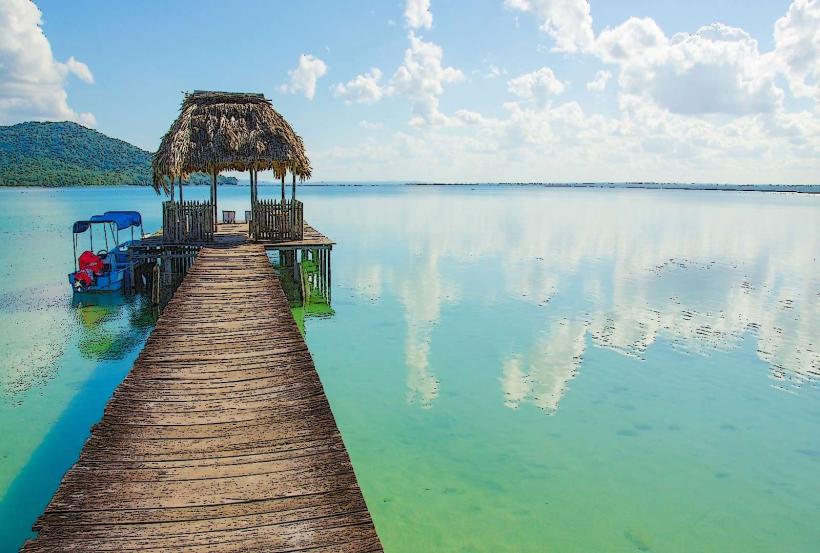
- 15km West: Flores Island
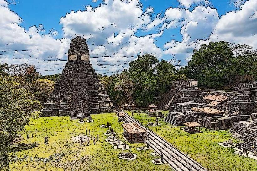
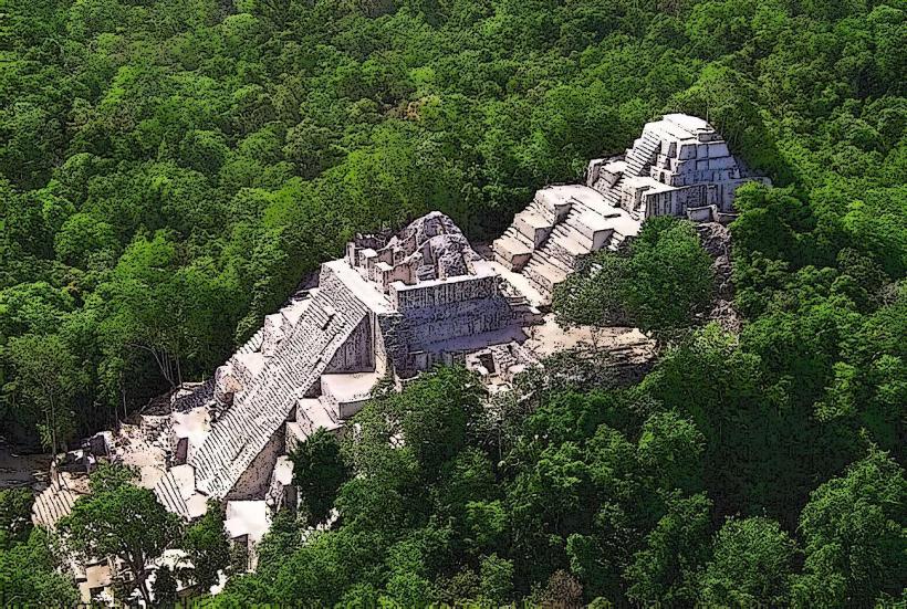
- 18km West: Tikal National Park (Access via CA-13)
- 20km Southwest: Yaxha National Park (Access via secondary roads)