Information
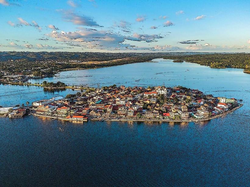
Landmark: Lake Petén ItzáCity: Flores
Country: Guatemala
Continent: North America
Lake Petén Itzá, Flores, Guatemala, North America
Lake Petén Itzá is a large freshwater lake situated in the Petén Department of northern Guatemala. It is the second-largest lake in Guatemala.
Visual Characteristics
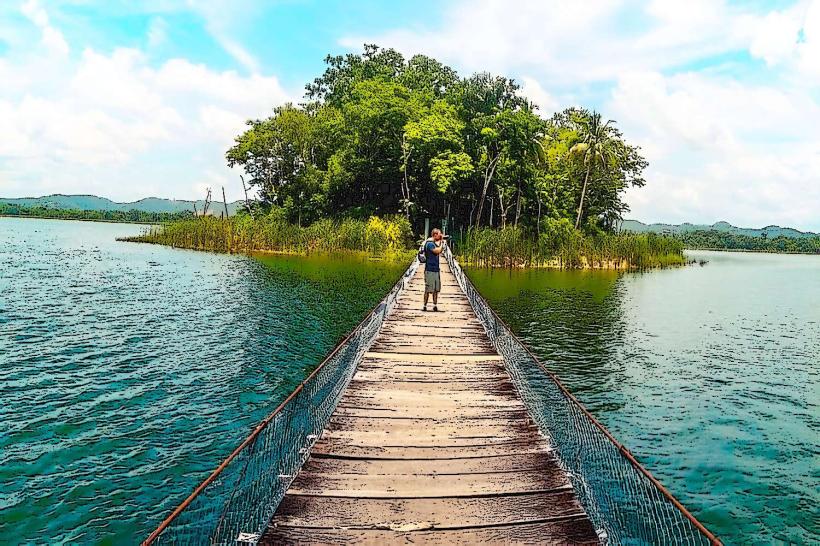
The lake's surface area is approximately 99 square kilometers. Its depth varies, reaching a maximum of 160 meters in certain areas. The water color ranges from deep blue to greenish-blue depending on depth and light conditions. The shoreline is characterized by a mix of dense tropical rainforest vegetation and some areas of exposed rock and soil.
Location & Access Logistics
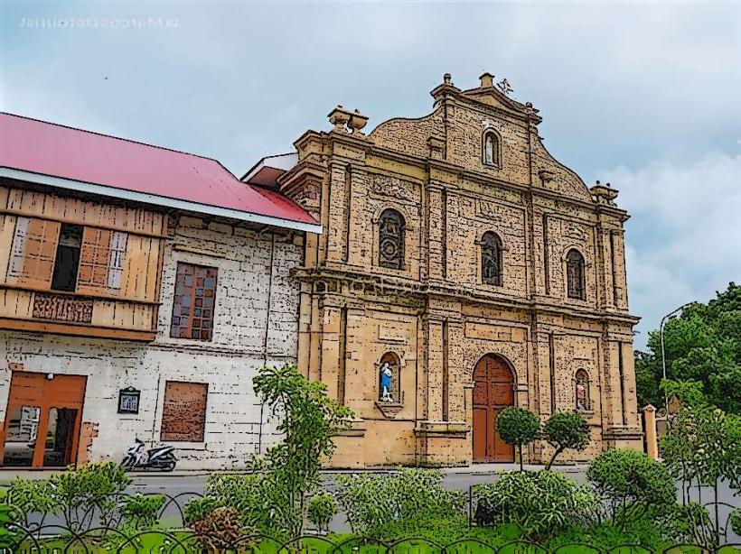
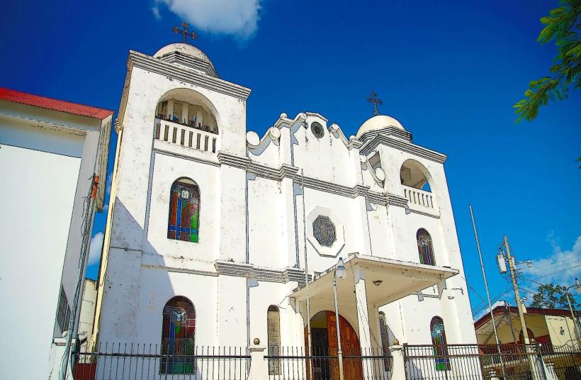
Lake Petén Itzá is located in the Petén Department, with the town of Flores situated on an island within the lake. Flores is approximately 500 kilometers north of Guatemala City. Access to Flores is via a causeway from the mainland town of Santa Elena. International flights arrive at Mundo Maya International Airport (FRS), located about 8 kilometers from Flores. Public transportation from Santa Elena includes local buses and taxis. Parking is available in Santa Elena and on the mainland before the causeway to Flores; limited parking exists on the island itself.
Historical & Ecological Origin
Lake Petén Itzá is a natural freshwater lake formed by tectonic activity. It is part of the larger Maya Biosphere Reserve, an area of significant ecological importance and home to numerous species of flora and fauna. The lake has been a vital resource for human settlements in the region for millennia, most notably for the ancient Maya civilization.
Key Highlights & Activities
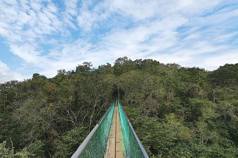
Boat tours are available for exploring the lake and visiting surrounding islands, including the island town of Flores. Kayaking and paddleboarding are possible. Birdwatching is a common activity due to the diverse avian population. Swimming is permitted in designated areas. Fishing is also practiced by local communities.
Infrastructure & Amenities
Flores offers a range of hotels, restaurants, and shops. Public restrooms are available in Flores and Santa Elena. Shade is provided by trees and structures in Flores. Cell phone signal (4G) is generally available in Flores and surrounding populated areas. Food vendors and restaurants are concentrated in Flores and Santa Elena.
Best Time to Visit
The dry season, from November to April, generally offers clearer skies and less rainfall. The best time of day for photography is typically early morning or late afternoon when the sun angle is lower, providing softer light. Water levels are relatively consistent throughout the year.
Facts & Legends
The island town of Flores was historically known as Nojpetén and served as the last independent Maya kingdom to fall to the Spanish conquistadors in 1697. Local folklore speaks of underwater caves and ancient Maya artifacts submerged within the lake's depths.
Nearby Landmarks
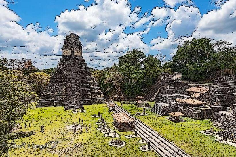
- Tikal National Park (16km Southeast)
- Yaxha National Park (50km East)
- Uaxactún Archaeological Site (23km Northeast)
- Ceibal Archaeological Site (40km Southwest)
- Aguateca Archaeological Site (65km Southwest)