Information
Landmark: George TownCity: Grand Exuma
Country: Bahamas
Continent: North America
George Town, Grand Exuma, Bahamas, North America
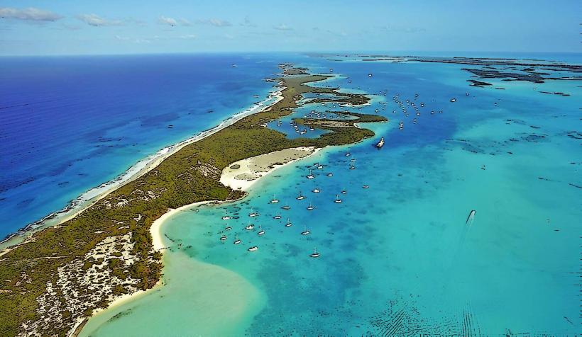
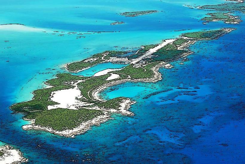
George Town is the primary settlement and administrative center of Great Exuma, Bahamas. It is situated on the southeastern coast of Great Exuma Island.
Visual Characteristics
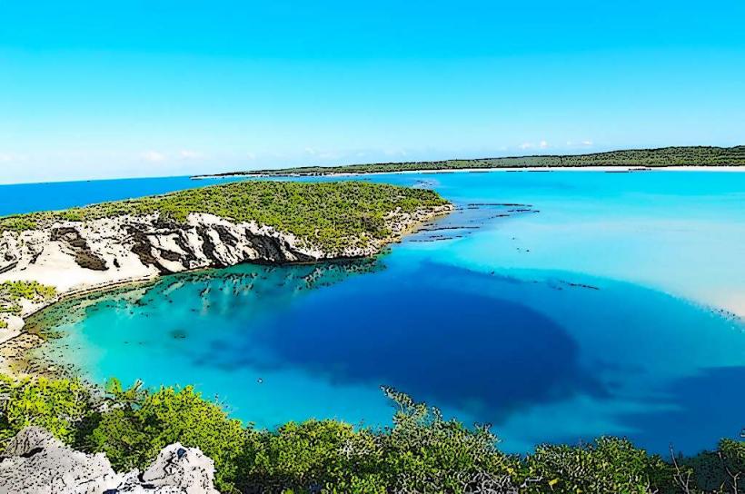
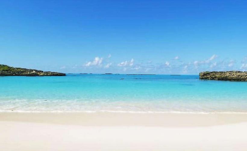
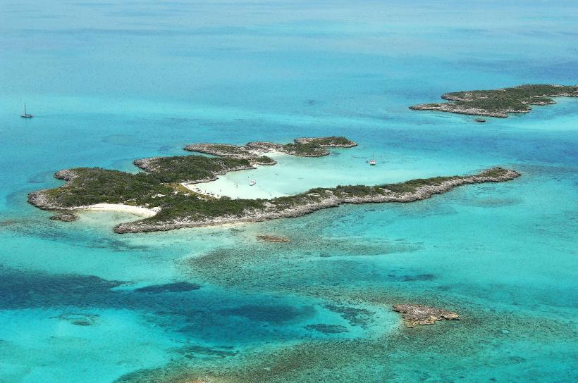
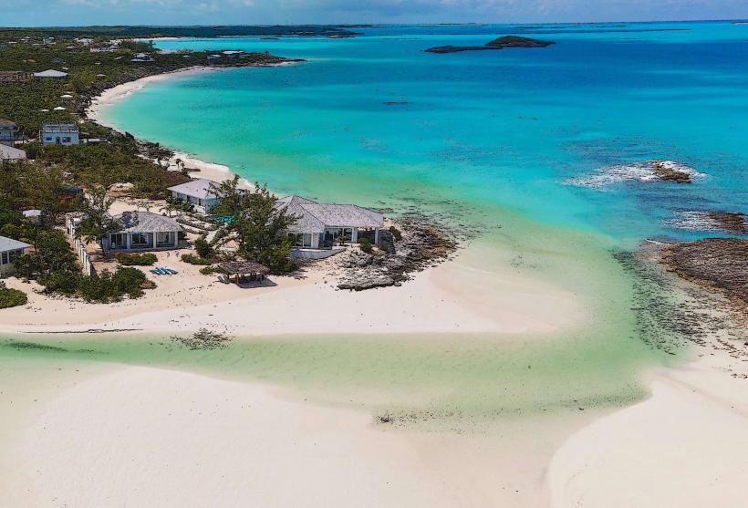
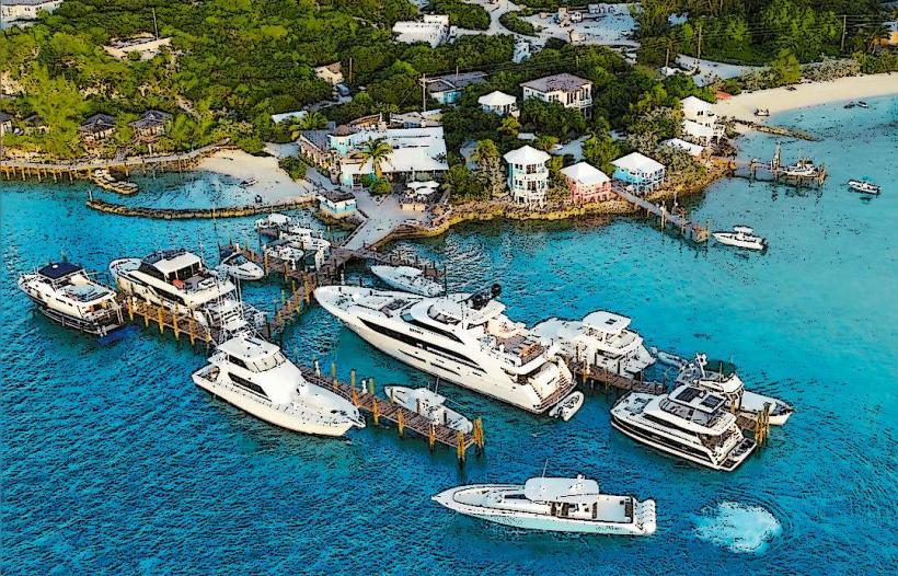
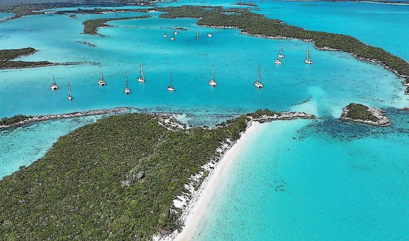
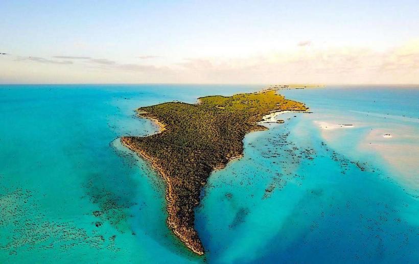
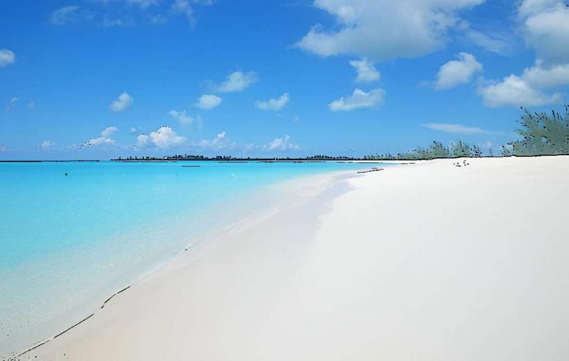
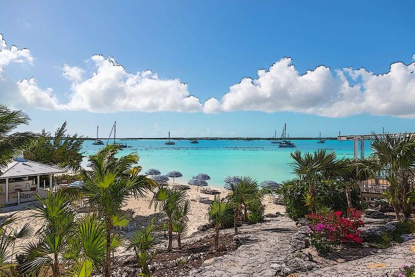
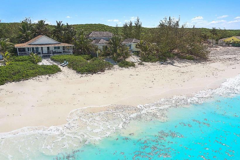
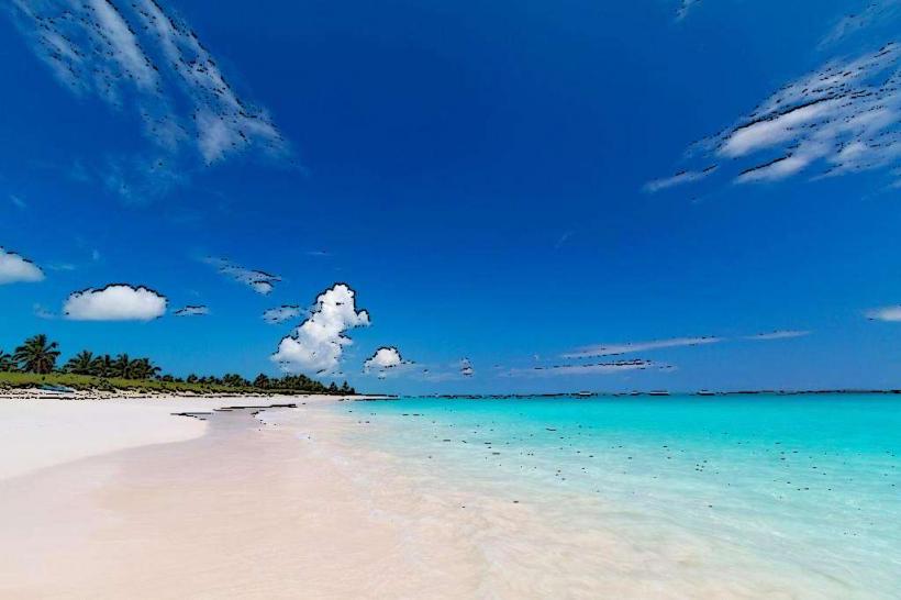
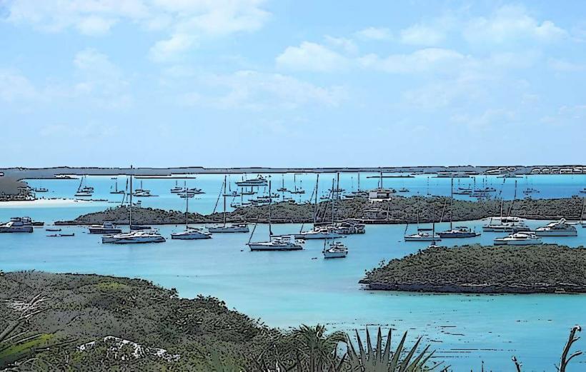
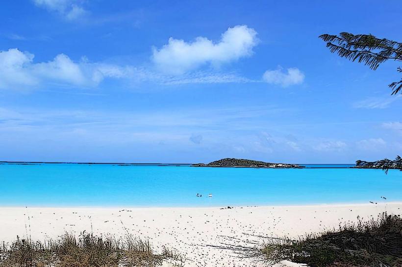
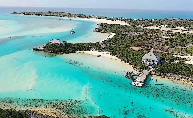
The town features low-rise structures, predominantly constructed from concrete and painted in pastel colors. Buildings are generally one to two stories high. The harbor area is characterized by docks and a collection of commercial and residential buildings lining the waterfront. The surrounding landscape includes mangrove areas and shallow, clear turquoise waters.
Location & Access Logistics
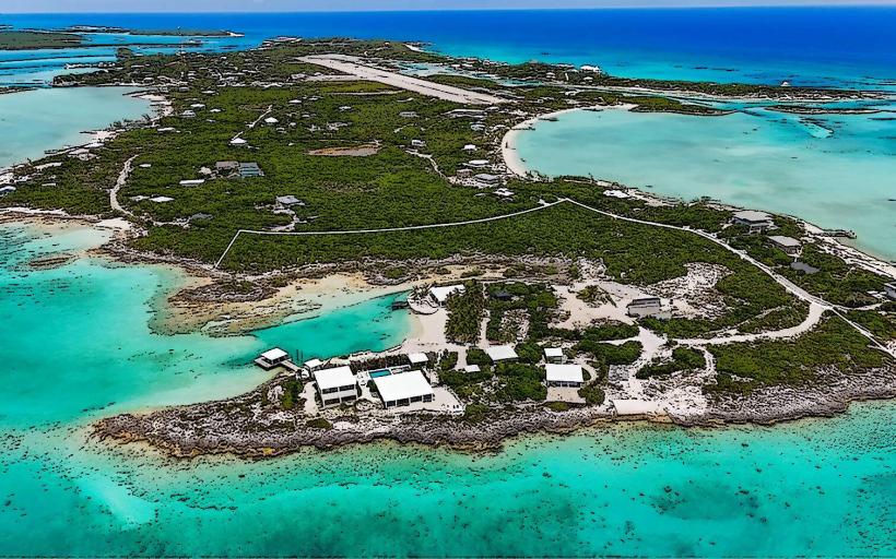
George Town is located approximately 370 km southeast of Nassau. Access is primarily via the Queen's Highway, which bisects Great Exuma. The Exuma International Airport (GGT) is located about 15 km northwest of George Town, with taxi services available. Limited public transportation exists in the form of jitney buses that operate along the Queen's Highway. Parking is available along the main streets and near the harbor, though it can be limited during peak hours.
Historical & Ecological Origin
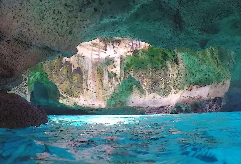
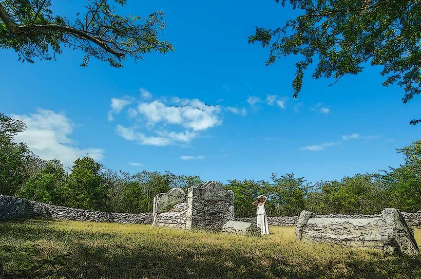
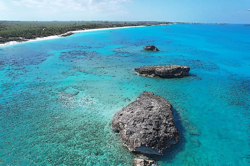
George Town was established in 1825 by the British colonial administration. Its original purpose was to serve as a port and administrative hub for the island, facilitating trade and governance. The surrounding waters are part of the Bahamian coral reef system, supporting diverse marine life.
Key Highlights & Activities
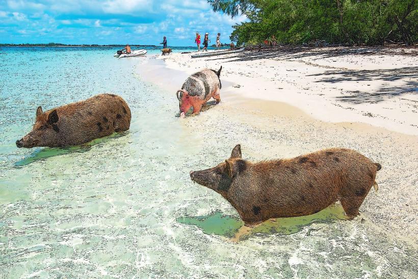
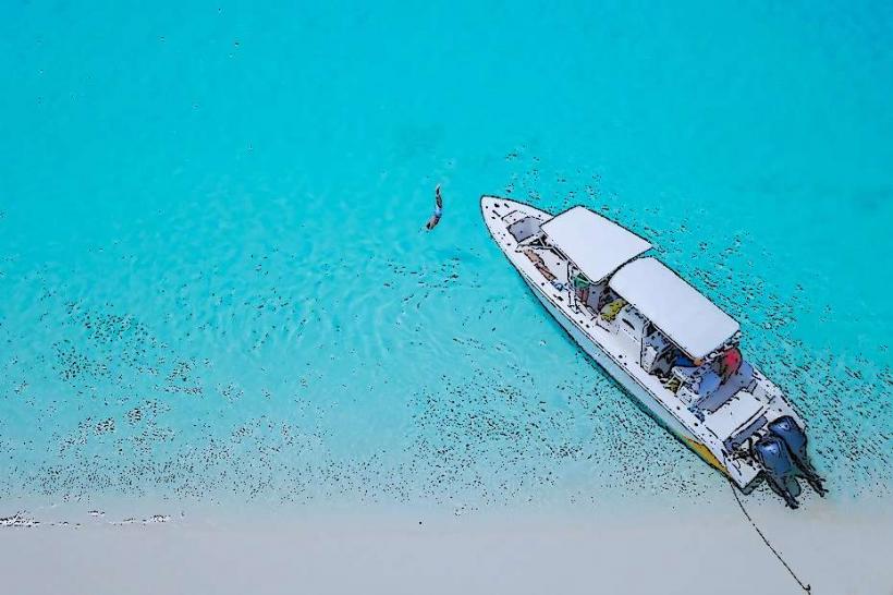
Visitors can explore the Straw Market for local crafts. Boat tours to nearby cays, such as Pigeon Cay and Leaf Cay (known for its swimming pigs), depart from the harbor. Kayaking and paddleboarding are possible in the sheltered waters of Elizabeth Harbour. Fishing charters are also available.
Infrastructure & Amenities
Restrooms are available at public facilities and within most businesses. Shade is provided by awnings and trees in some areas. Cell phone signal (4G) is generally available within the town. Food vendors and restaurants are located along the main street and harbor front.
Best Time to Visit
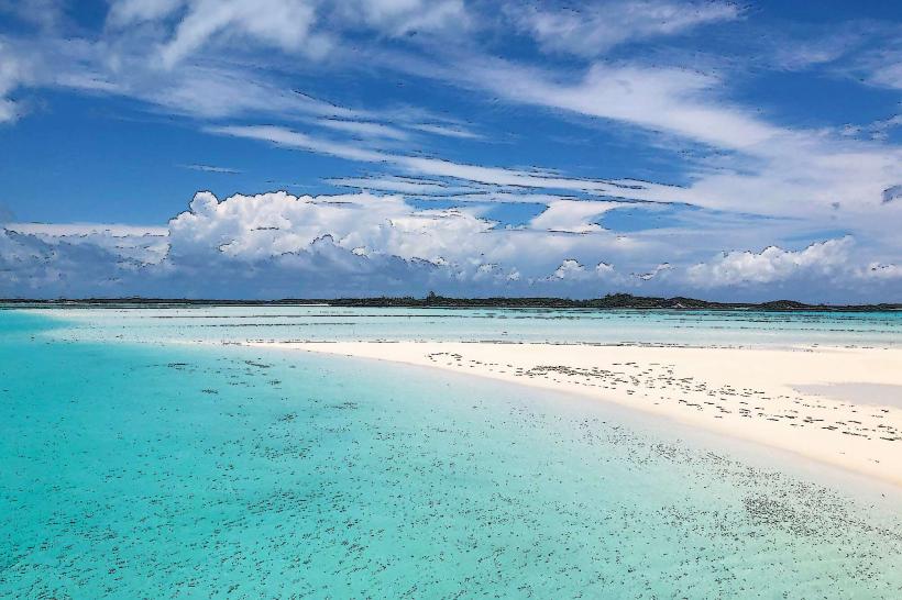
The best time for clear water visibility and comfortable temperatures is between December and May. For photography, early morning and late afternoon offer softer light. High tide is generally preferred for accessing certain shallow areas by boat.
Facts & Legends
Elizabeth Harbour is a protected anchorage, historically used by sailors and pirates. A local anecdote suggests that the island's original name was "Yuma," meaning "land of many waters" in a pre-Columbian dialect, though this is not definitively verified.
Nearby Landmarks
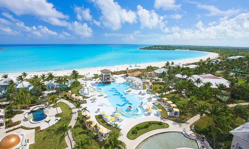
- Sandals Emerald Bay Resort (10km Northwest)
- Hoopers Bay (8km Northwest)
- Little Exuma (15km South)
- Morley's Cay (3km East)
- Chatterly's Cay (2km Southeast)