Information
Landmark: Great Exuma IslandCity: Grand Exuma
Country: Bahamas
Continent: North America
Great Exuma Island, Grand Exuma, Bahamas, North America
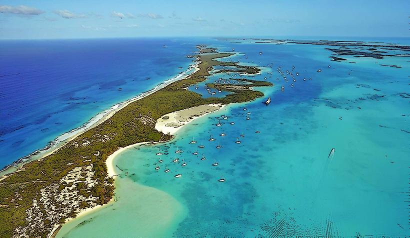
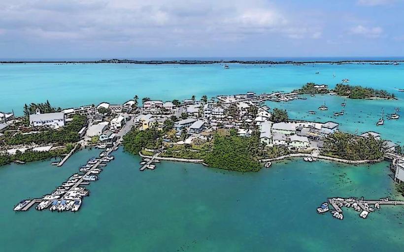
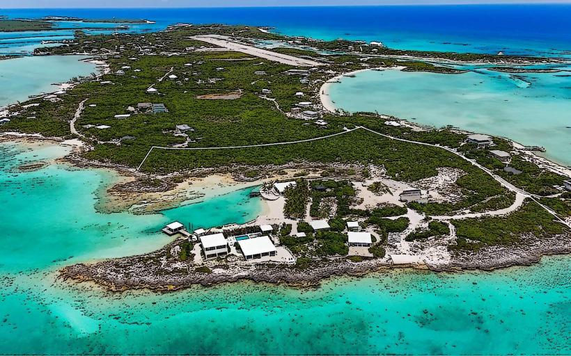
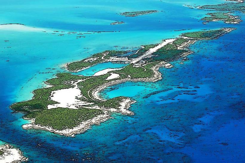
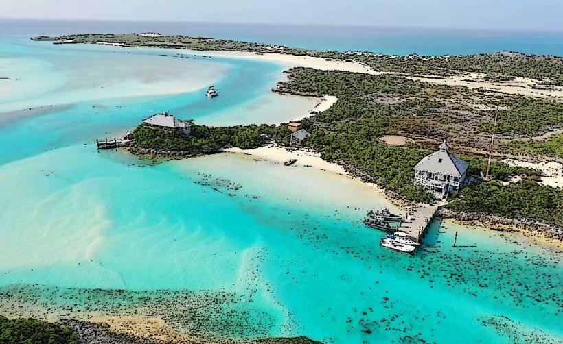
Great Exuma Island is the largest island in the Exuma district of the Bahamas, situated approximately 130 miles southeast of Nassau.
Visual Characteristics
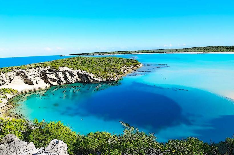
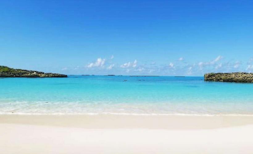
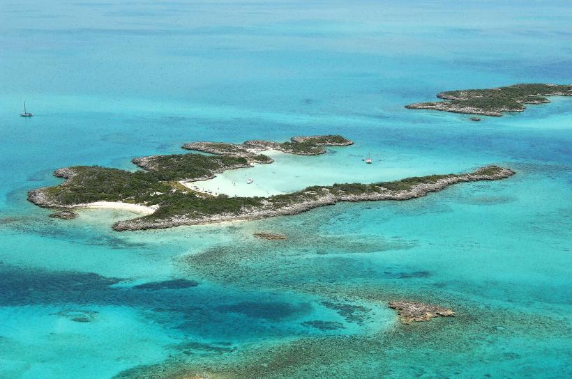
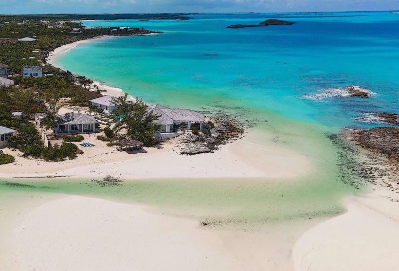
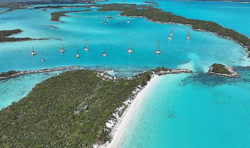
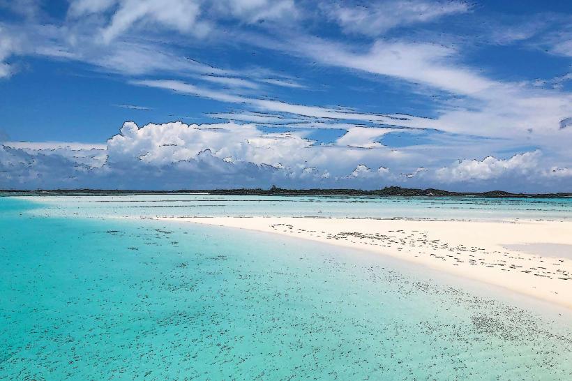
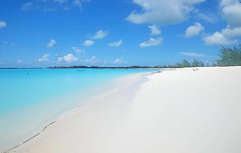
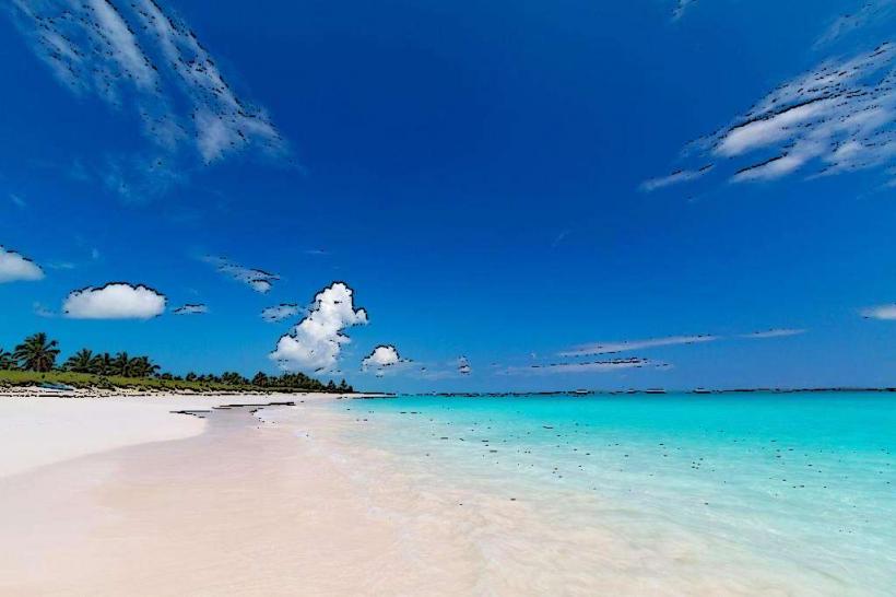
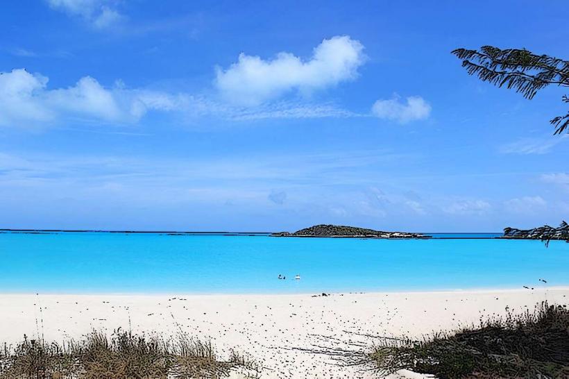
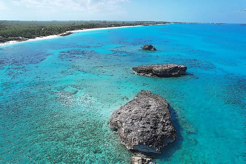
The island features a coastline characterized by limestone formations and numerous cays. Beaches exhibit fine, white sand. The water surrounding the island displays a gradient of turquoise and deep blue hues, influenced by varying depths and seabed composition. Inland, vegetation consists primarily of low-lying shrubs and palm trees.
Location & Access Logistics
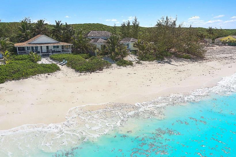
Great Exuma Island is accessible via Lynden Pindling International Airport (NAS) in Nassau, with connecting flights to Exuma International Airport (GGT) located on the island. Driving is the primary mode of transport on the island. Major roads include Queen's Highway, which runs the length of the island. Parking is generally available at beaches and tourist sites, though it can be limited during peak seasons. No public bus system operates; taxis and rental cars are the recommended options.
Historical & Ecological Origin
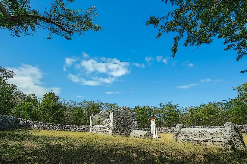
The Exuma Cays, including Great Exuma, are part of the Bahamian archipelago, formed by the accumulation of carbonate sediments over millions of years. Historically, the islands were settled by Lucayan Indians, followed by European colonists. The original purpose of settlements on Great Exuma included salt production and agriculture.
Key Highlights & Activities
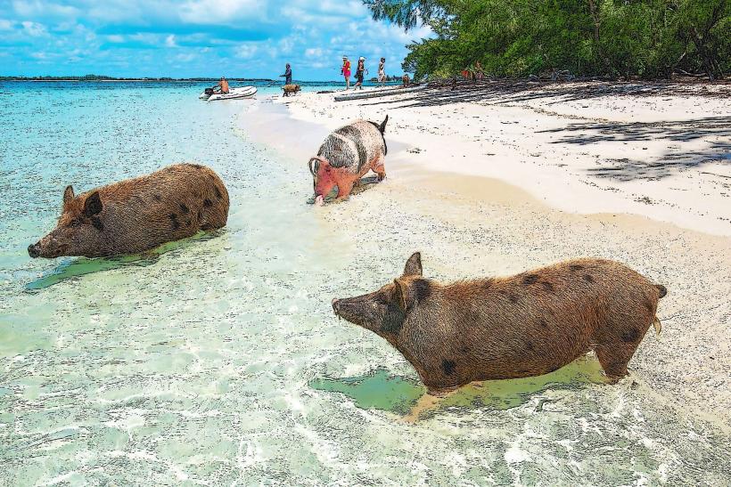
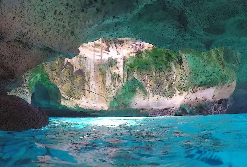
Activities include swimming with pigs at Big Major Cay (accessible via boat tour), exploring Thunderball Grotto for snorkeling, visiting the sandbars at low tide, and observing marine life. Kayaking and paddleboarding are possible in sheltered bays.
Infrastructure & Amenities
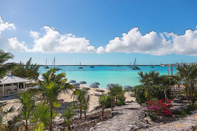
Restrooms are available at major beaches and tourist hubs. Shade is provided by natural vegetation and some man-made structures at developed beach areas. Cell phone signal (4G) is generally available in populated areas, but can be intermittent in more remote locations. Food vendors and restaurants are located in Georgetown and along Queen's Highway.
Best Time to Visit
The best months for weather are typically December through May, avoiding the peak hurricane season. For photography, early morning and late afternoon offer optimal lighting conditions. Low tide is essential for accessing sandbars and some shallow areas.
Facts & Legends
A local legend suggests that the island's distinctive shape resembles a sleeping dragon. The island is also known for its concentration of iguanas, particularly on Allen's Cay.
Nearby Landmarks
- 0.5km North: Georgetown
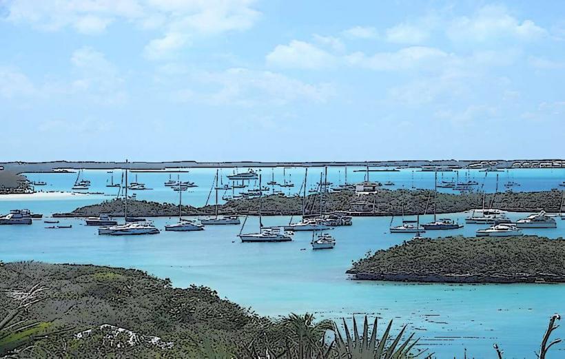
- 2km West: Emerald Bay Marina
- 5km South: Tropic of Cancer Beach