Information
Landmark: Grand Etang National ParkCity: Gouyave
Country: Grenada
Continent: North America
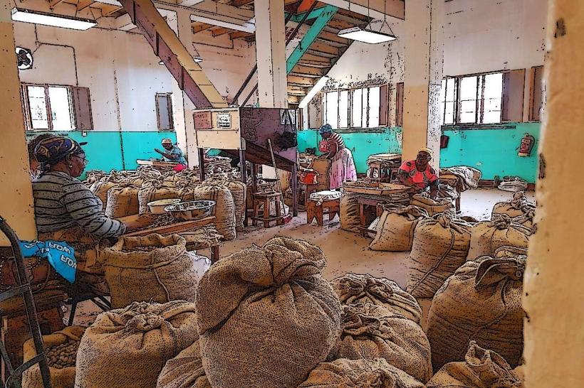
Grand Etang National Park, Gouyave, Grenada, North America
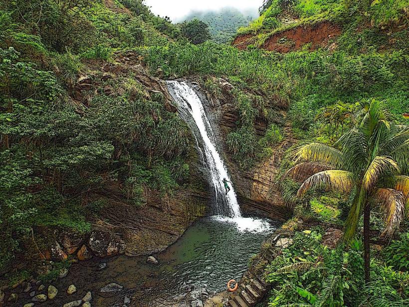
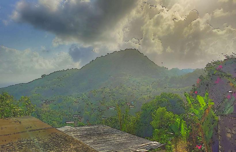
Grand Etang National Park is a protected area located in the central highlands of Grenada. It encompasses a significant portion of the island's interior rainforest.
Visual Characteristics
The park features a dense, multi-layered rainforest canopy dominated by broadleaf evergreen trees. The central feature is the Grand Etang Lake, a crater lake with dark, still water. Surrounding the lake are volcanic hills covered in thick vegetation, including ferns, orchids, and various tree species like gommier and sandbox. The terrain is characterized by steep slopes and ravines.
Location & Access Logistics
The park is situated approximately 11 kilometers east of St. George's, the capital city. Access is via the Grand Etang Road (B102), which is a paved, two-lane highway. The drive from St. George's takes approximately 20-30 minutes. A dedicated parking area is available near the Grand Etang Lake visitor center. Public transport options are limited; local buses may run along the main road, but direct service to the visitor center is not guaranteed. Taxis are available from St. George's.
Historical & Ecological Origin
Grand Etang Lake is a volcanic crater lake, formed by the eruption of Mount Qua Qua thousands of years ago. The park was established to protect Grenada's remaining rainforest ecosystem and its biodiversity. It is classified as a tropical rainforest biome.
Key Highlights & Activities
Hiking is a primary activity, with marked trails including the Morne La Croix trail (challenging, 3-4 hours round trip) and the Lake Loop trail (easy, 30 minutes). Wildlife observation, particularly of Mona monkeys and various bird species, is possible. Photography of the lake and surrounding forest is a common pursuit. Ranger-led interpretive walks are sometimes available.
Infrastructure & Amenities
A visitor center is located at the lake's edge, offering basic information. Restrooms are available at the visitor center. Limited shaded picnic areas are present. Cell phone signal (4G) is intermittent within the park, particularly in lower-lying areas. No food vendors operate within the park; visitors should bring their own provisions.
Best Time to Visit
The best time of day for photography is generally mid-morning or late afternoon when sunlight penetrates the canopy. The driest months are typically January to May, offering more favorable hiking conditions. The lake's water level can fluctuate slightly with rainfall, but this does not significantly impact access or activities.
Facts & Legends
Local folklore suggests the Grand Etang Lake is bottomless. A verified historical fact is that the park was a significant site for indigenous peoples prior to European colonization.
Nearby Landmarks
- Concord Falls (3.5km West)
- Annandale Falls (6.2km Southeast)
- Mount Qua Qua (4.1km Northeast)
- Fontainebleau Nature Trail (5.5km East)