Information
Landmark: Grandfather MountainCity: Boone
Country: USA North Carolina
Continent: North America
Grandfather Mountain, Boone, USA North Carolina, North America
Grandfather Mountain is a prominent peak in the Blue Ridge Mountains, located near Boone, North Carolina.
It is a significant geological feature and a popular destination for outdoor recreation.
Visual Characteristics
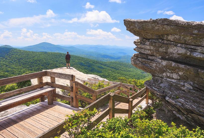
The mountain's summit reaches an elevation of 5,945 feet (1,812 meters). Its slopes are covered in dense deciduous and coniferous forests. The rock formations are primarily Precambrian granite. The summit area features exposed granite outcrops and a distinct ridgeline.
Location & Access Logistics
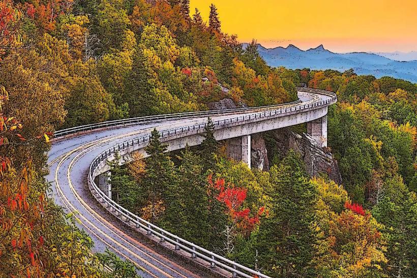
Grandfather Mountain is situated approximately 10 miles (16 km) southwest of Boone, North Carolina. Access is via the Grandfather Mountain Mile High Swinging Bridge Road, which branches off U.S. Highway 221. The road is paved and ascends to the summit area. Parking is available at the visitor center and designated pull-offs. Public transport is not available directly to the summit; visitors typically use private vehicles.
Historical & Ecological Origin
Grandfather Mountain is an ancient geological formation, estimated to be around 1.1 billion years old, making it one of the oldest mountains in the world. It is composed of Precambrian metamorphic and igneous rocks. Ecologically, it represents a transition zone between northern and southern Appalachian ecosystems, supporting a diverse range of flora and fauna.
Key Highlights & Activities
Walk across the Mile High Swinging Bridge for panoramic views. Hike the various trails, including the challenging Grandfather Trail which traverses the ridgeline. Observe wildlife such as white-tailed deer, black bears, and numerous bird species. Visit the nature museum located at the summit.
Infrastructure & Amenities
Restrooms are available at the visitor center and near the Swinging Bridge. Shade is provided by the forest canopy on trails and at picnic areas. Cell phone signal (4G/5G) is intermittent and unreliable at higher elevations. Food vendors are present at the summit visitor center, offering snacks and light meals.
Best Time to Visit
For photography, early morning or late afternoon offers optimal lighting conditions. The best months for weather are typically from May through October, with autumn foliage providing significant visual interest. High winds can occur year-round, potentially affecting access to the Swinging Bridge.
Facts & Legends
The mountain's name is derived from its resemblance to an old man's profile when viewed from the west. A local legend speaks of the "Grandfather Spirit" protecting the mountain from excessive development.
Nearby Landmarks
- Linville Falls: 8km Southwest
- Emerald Village: 6km Northeast
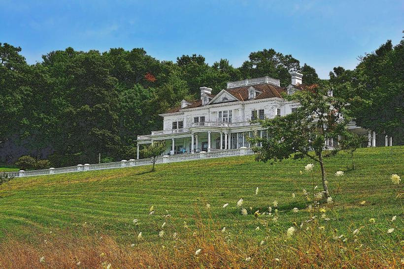
- Moses H. Cone Memorial Park: 12km Northeast
- Julian Price Memorial Park: 13km Northeast