Information
Landmark: Great Falls of the MissouriCity: Great Falls
Country: USA Montana
Continent: North America
Great Falls of the Missouri, Great Falls, USA Montana, North America
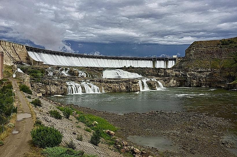
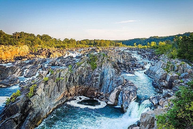
The Great Falls of the Missouri River are a series of waterfalls located in Great Falls, Montana. These cascades represent a significant geographical feature along the Missouri River's course.
Visual Characteristics
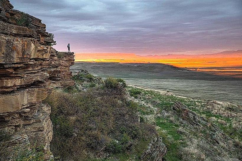
The Great Falls are characterized by a series of distinct drops and rapids over a total distance of approximately 10 miles. The primary drops include the Upper, Crooked, Rainbow, Colter's, and Great Falls. The water is typically a silty brown, reflecting the sediment load of the Missouri River. Rock formations consist of sedimentary layers, primarily limestone and shale, sculpted by erosion. Vegetation along the riverbanks is generally sparse, consisting of grasses and hardy shrubs adapted to the arid climate.
Location & Access Logistics
The Great Falls are situated within the city limits of Great Falls, Montana. Access points are primarily from the city's park system. The Lewis and Clark Interpretive Center provides a central access point. Parking is available at designated lots within the various park areas, such as Giant Springs State Park and the Lewis and Clark National Historic Trail Interpretive Center. Public transport within Great Falls is limited; bus routes may not directly service all viewpoints. Driving is the most practical method of access.
Historical & Ecological Origin
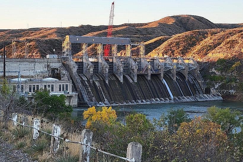
The Great Falls were formed by the erosive power of the Missouri River acting upon sedimentary rock layers over millennia. They represent a natural barrier that significantly impacted early exploration. The falls were a critical obstacle encountered by the Lewis and Clark Expedition in 1805, requiring a portage of 18 miles. The original purpose of the site was its natural function as a riverine cascade.
Key Highlights & Activities
Observation decks and paved pathways offer views of the falls. Hiking trails are available along the river. The Lewis and Clark National Historic Trail Interpretive Center provides exhibits detailing the expedition's encounter with the falls. Photography is a common activity, particularly at the Rainbow Falls overlook.
Infrastructure & Amenities
Restrooms are available at major access points and parks. Shaded areas are limited, primarily found in developed park sections. Cell phone signal (4G/5G) is generally available in the vicinity of the city and developed park areas. Food vendors are not typically present directly at the falls viewpoints; amenities are found within the city of Great Falls.
Best Time to Visit
For photography, early morning or late afternoon light provides optimal illumination. The best months for weather are typically June through September, offering milder temperatures. Water flow can vary seasonally; spring runoff may increase volume but also sediment. No specific tide requirements apply.
Facts & Legends
The portage undertaken by the Lewis and Clark Expedition around the Great Falls took 28 days, a testament to the difficulty of the terrain and the obstacles presented by the falls. A unique tip for visitors is to check the flow rate of the Missouri River, as this can significantly alter the visual impact of the cascades.
Nearby Landmarks
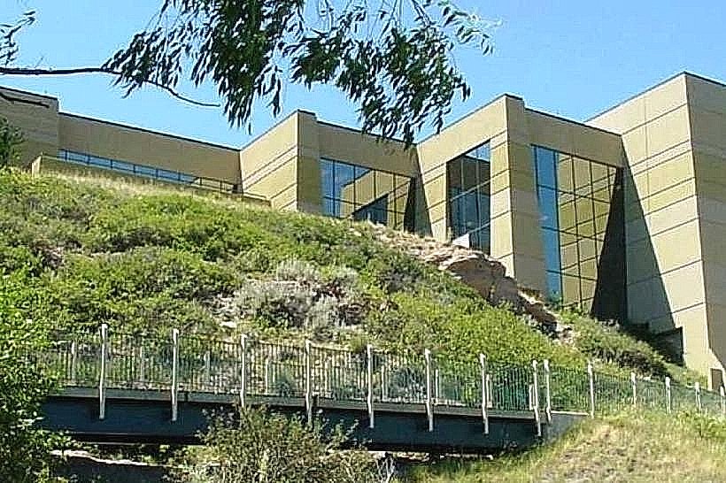
- Lewis and Clark National Historic Trail Interpretive Center (0.2km West)
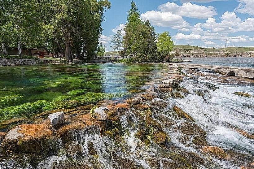
- Giant Springs State Park (1.5km North)
- Colter's Falls Overlook (3.0km Southwest)
- Malmstrom Air Force Base (5.0km Southeast)