Information
Landmark: Rivers Edge TrailCity: Great Falls
Country: USA Montana
Continent: North America
Rivers Edge Trail, Great Falls, USA Montana, North America
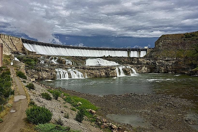
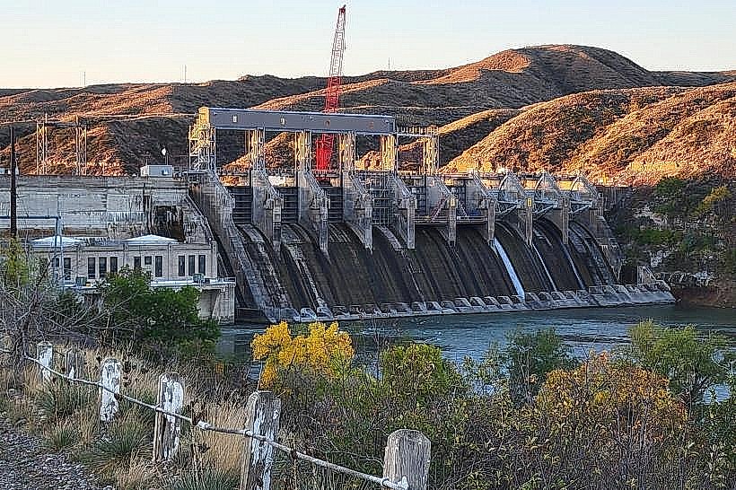
Rivers Edge Trail is a public pathway located in Great Falls, Montana, USA. It follows the Missouri River for a significant distance.
Visual Characteristics
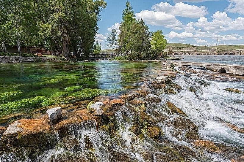
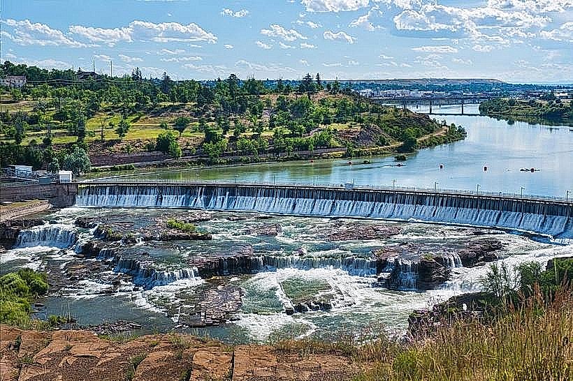
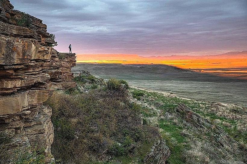
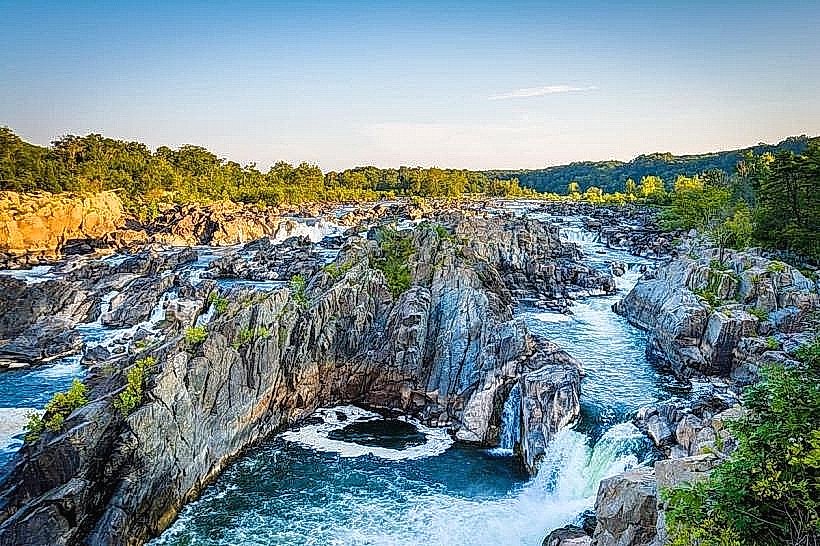
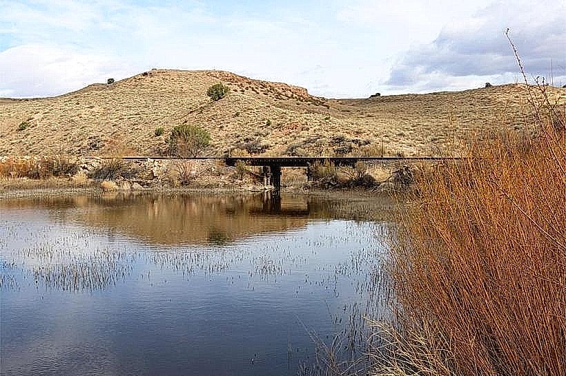
The trail is primarily a paved asphalt surface, averaging 3 meters in width. It is flanked by native grasses, cottonwood trees, and occasional rocky outcrops. The Missouri River's water color varies from silty brown to a clearer blue-green depending on recent precipitation and flow rates. The terrain is generally flat with some gentle inclines.
Location & Access Logistics
Rivers Edge Trail is accessible from multiple points within Great Falls. The main trailhead is located at 100 River Drive, approximately 2 kilometers west of the city center. Ample free parking is available at this location. Public transport options include the Great Falls Transit Authority Route 3 bus, which stops at the intersection of River Drive and 2nd Avenue South, a 0.5km walk to the trailhead.
Historical & Ecological Origin
The trail was developed in phases, with initial construction beginning in the late 1990s as part of a city initiative to preserve riverfront access and promote outdoor recreation. The area's ecology is characteristic of the Missouri River riparian zone, supporting a variety of plant and animal species adapted to this environment.
Key Highlights & Activities
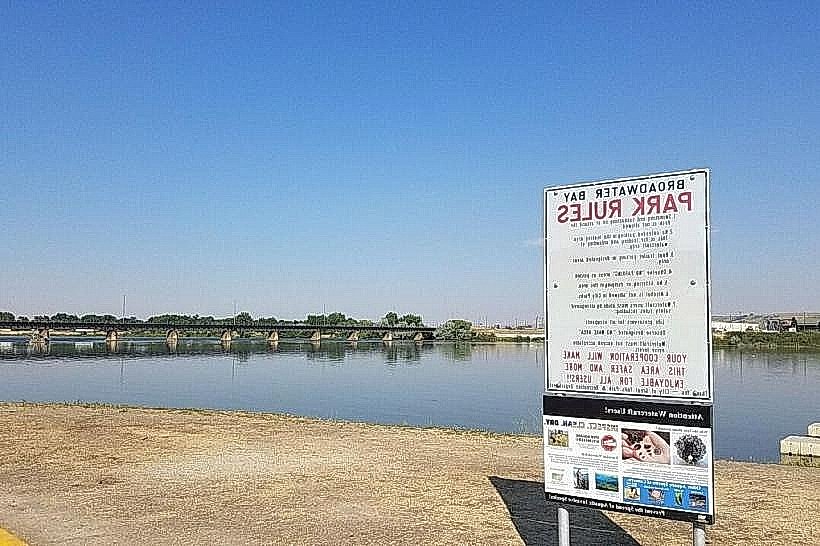
Activities include walking, jogging, and cycling. Birdwatching is common due to the riparian habitat. Fishing is permitted from designated access points along the riverbank. The trail connects to several smaller park areas, offering opportunities for picnicking.
Infrastructure & Amenities
Restrooms are available at the main trailhead at 100 River Drive. Shaded areas are provided by mature trees along significant portions of the trail. Cell phone signal (4G/5G) is generally consistent throughout the trail's length. No food vendors are permanently stationed on the trail, but several restaurants are located within 1km of the main access point.
Best Time to Visit
For photography, early morning (7:00 AM - 9:00 AM) and late afternoon (4:00 PM - 6:00 PM) offer optimal lighting conditions. The best months for comfortable outdoor activity are May through September, with average temperatures ranging from 15°C to 25°C. No tide considerations apply.
Facts & Legends
The trail passes near the site of the original Lewis and Clark expedition encampment during their 1805 journey. Local lore suggests that during periods of exceptionally low water, remnants of old riverboats can sometimes be glimpsed on the riverbed.
Nearby Landmarks
- Lewis and Clark Interpretive Center (1.5km East)
- Giant Springs State Park (3.0km Northeast)
- Malmstrom Air Force Base Museum (4.5km Southwest)
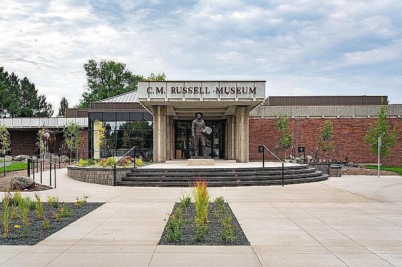
- The History Museum (2.0km East)