Information
Landmark: Helena-Lewis and Clark National ForestCity: Helena
Country: USA Montana
Continent: North America
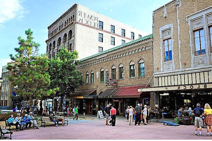
Helena-Lewis and Clark National Forest, Helena, USA Montana, North America
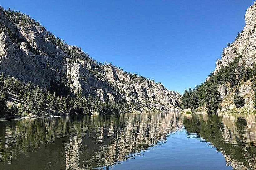
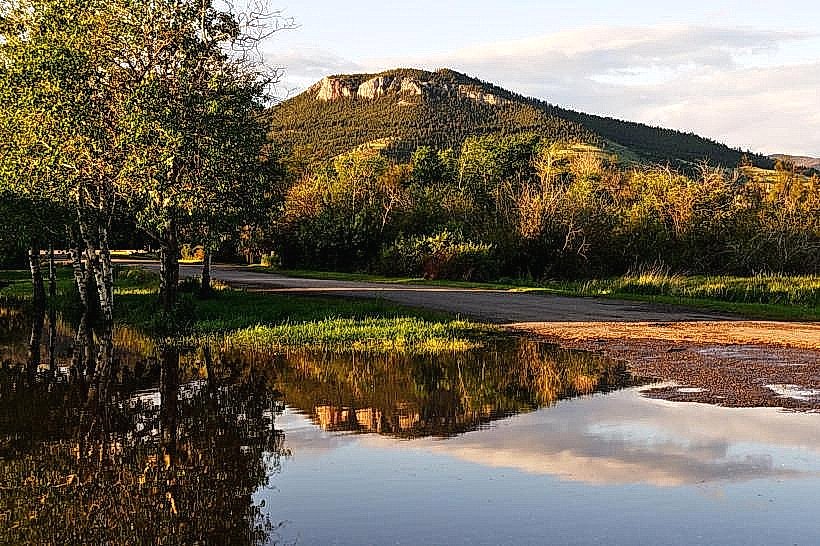
Helena-Lewis and Clark National Forest is a protected area located in and around Helena, Montana, USA. It encompasses a significant portion of Montana's mountainous terrain.
Visual Characteristics
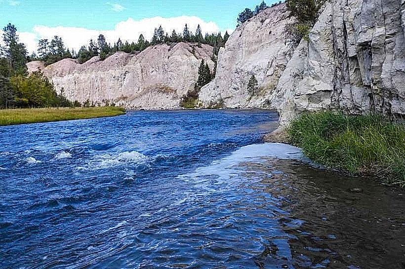
The forest is characterized by coniferous trees, primarily Douglas fir, lodgepole pine, and ponderosa pine. Elevations range from approximately 4,000 feet to over 8,000 feet. The landscape includes granite peaks, alpine meadows, and numerous lakes and streams. Rock formations are predominantly sedimentary and metamorphic.
Location & Access Logistics
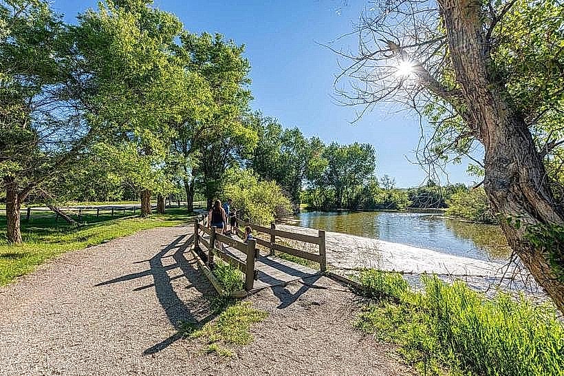
The forest is situated adjacent to the city of Helena. Access is primarily via US Highway 12 East and Montana Highway 287 North. Several forest service roads, such as Forest Road 443 (St. Mary's Road) and Forest Road 458 (Magpie Gulch Road), provide entry points. Parking is available at designated trailheads and recreation areas. Public transport does not directly serve the forest interior; access requires private vehicle or organized tour.
Historical & Ecological Origin
Established in 1906, the Helena National Forest was combined with the Lewis and Clark National Forest in 2014 to form the Helena-Lewis and Clark National Forest. Its ecological origin is a result of glacial activity and subsequent erosion, shaping the mountainous topography and drainage systems. The area supports diverse ecosystems, including montane forests and alpine tundra.
Key Highlights & Activities
Hiking is available on over 500 miles of trails, including sections of the Continental Divide Trail. Fishing is permitted in lakes and streams, with species including cutthroat trout and rainbow trout. Wildlife viewing opportunities exist for elk, deer, and bighorn sheep. Designated campgrounds offer overnight stays.
Infrastructure & Amenities
Restrooms are available at major trailheads and campgrounds. Shade is abundant within the forested areas. Cell phone signal is intermittent and generally unavailable in remote sections. Limited food services are present in nearby towns; visitors should carry provisions.
Best Time to Visit
The optimal period for visiting is from June through September, when most trails are snow-free. Mid-morning to late afternoon offers the best natural light for photography. High elevation areas may experience snow into July. No specific tide requirements apply.
Facts & Legends
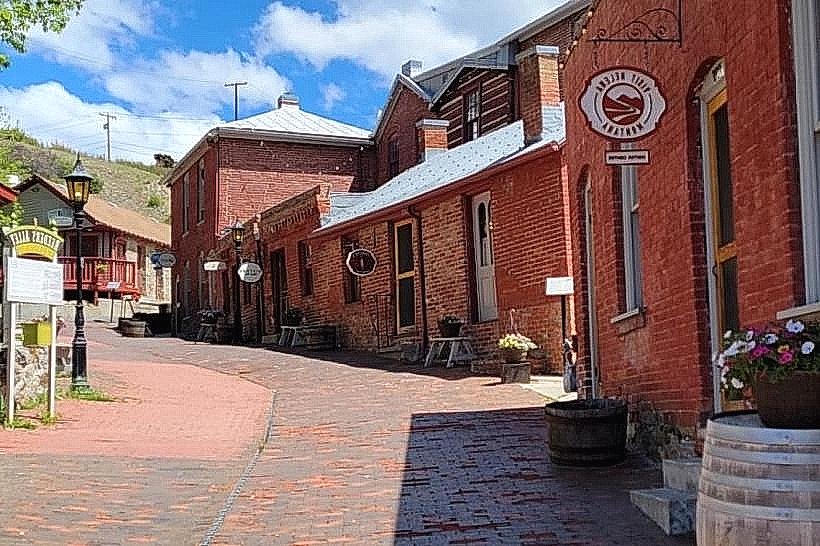
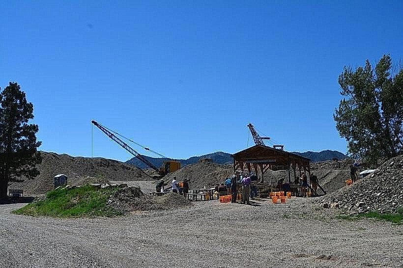
The forest contains remnants of historical mining operations, including abandoned shafts and structures. A local legend speaks of a spectral prospector who guards a lost gold vein in the Scratchgravel Hills area.
Nearby Landmarks
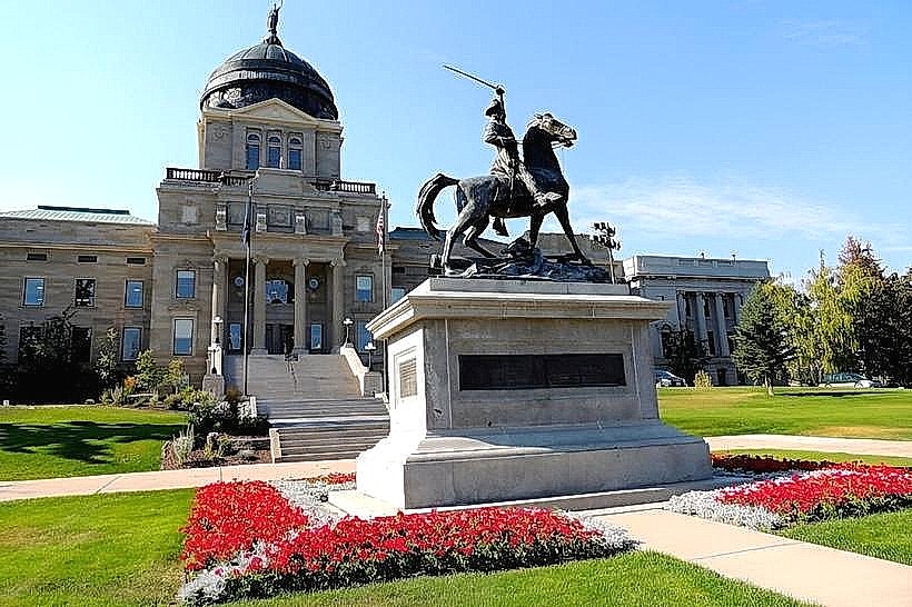
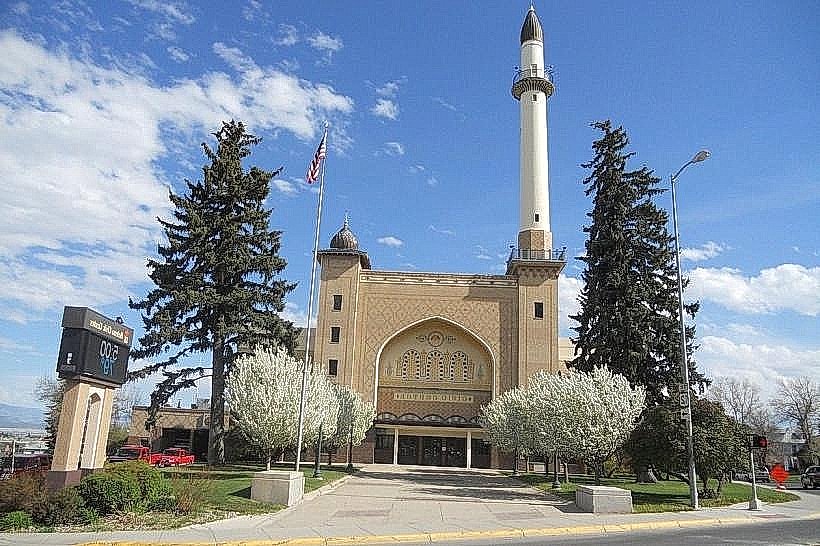
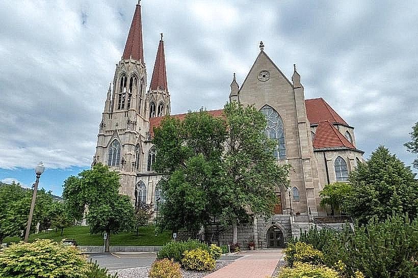
- Montana State Capitol Building (3km West)
- Exploration Gateway Visitor Center (4km West)
- Mount Ascension (2km Southwest)
- Helena Reservoir (15km Southwest)
- Gates of the Mountains Wilderness (25km North)