Information
Landmark: Heptapyrgion FortressCity: Thessaloniki
Country: Greece
Continent: Europe
Heptapyrgion Fortress, Thessaloniki, Greece, Europe
The Heptapyrgion Fortress (also known by its Ottoman name Yedi Kule) is a Byzantine and Ottoman-era citadel located at the northeast corner of the Thessaloniki Acropolis within the Ano Poli district. It serves as the highest point of the city's defensive fortification system.
Visual Characteristics
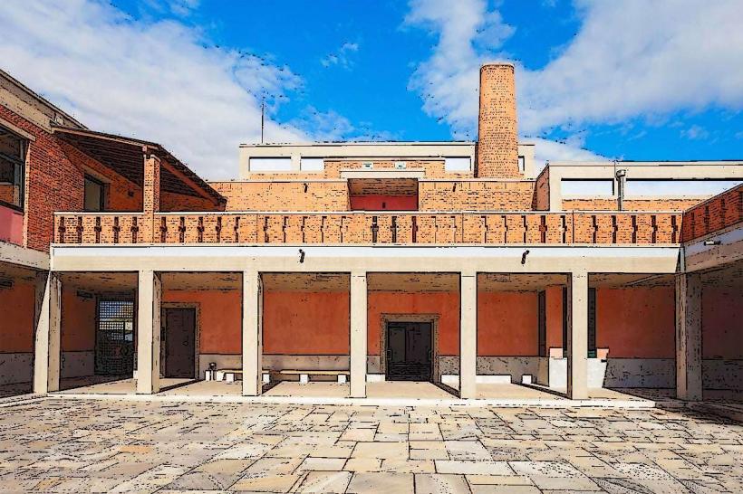
The fortress is a large stone complex featuring a double line of walls and ten (despite the name "Heptapyrgion" meaning "Seven Towers") massive square and circular defensive towers. The northern section dates to the Byzantine period, characterized by enclosed arched brickwork, while the southern additions and the internal prison buildings reflect 19th-century Ottoman architecture. The site offers an unobstructed panoramic view of the Thermaic Gulf and the entire city basin.
Location & Access Logistics
The site is located at 40 Eptapyrgiou Street. Access is via OASTH Bus Line 22 or Line 23, stopping at the "Eptapyrgio" station. Pedestrian access involves a steep uphill climb through the narrow alleys of Ano Poli. Limited parking is available in the open area immediately outside the main gate. The fortress is open Monday and Wednesday–Sunday from 08:30 to 15:30, with extended hours on Thursdays (until 18:30); it is closed on Tuesdays.
Historical & Ecological Origin
The fortress core was established in the 4th century AD during the reign of Theodosius I, with significant reconstruction under the Palaiologos dynasty in the 14th century. After the Ottoman conquest in 1430, it served as the seat of the city's military governor. In the late 19th century (c. 1890), the interior was converted into a major prison facility, which remained operational until 1989.
Key Highlights & Activities
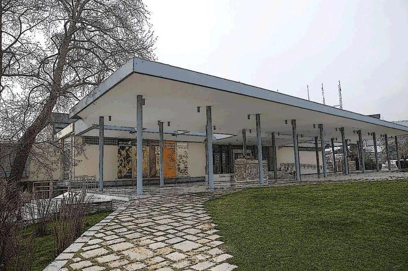
Visitors can walk the perimeter of the interior courtyard to observe the transition from military fortress to correctional facility. The surviving wooden cell doors and the isolation wings provide insight into its 20th-century history as a site for political prisoners. The exterior ramparts are utilized for viewing the sunset over the city. A small museum section inside details the archaeological phases of the walls.
Infrastructure & Amenities
Restrooms and a small information kiosk are located near the entrance. The terrain inside the fortress is uneven, consisting of gravel and original stone paving. 5G cellular signal is stable due to the site's elevated position. There are no food services within the fortress, but several traditional tavernas are located 0.2km south in the Ano Poli residential area.
Best Time to Visit
The optimal time for photography is the "golden hour" before sunset, as the west-facing position captures the light over the city and sea. Early morning is recommended to avoid the midday heat, as the interior courtyard is largely unshaded.
Facts & Legends
A verified historical oddity is that the fortress's name was changed from the Byzantine "Castellion" to the Ottoman "Yedi Kule" to mirror the famous Yedikule Fortress in Constantinople (Istanbul). The prison era of the fortress is deeply embedded in Greek culture through "Rebetiko" music, with numerous 20th-century songs referencing the hardships of the "Yedi Kule" inmates.
Nearby Landmarks
Trigoniou Tower: 0.4km Southeast
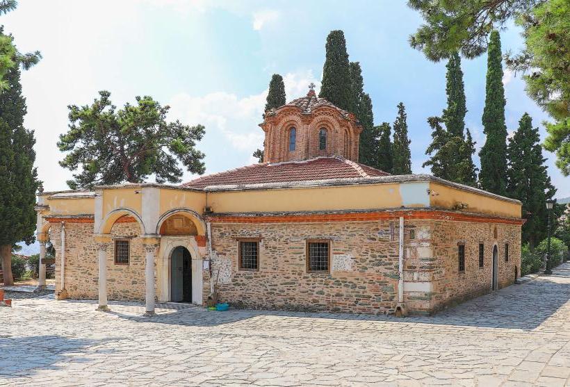
Monastery of Vlatadon: 0.5km Southwest
Pasha’s Gardens: 0.6km East
Church of Hosios David: 0.7km Southwest
Byzantine Walls (Northern Section): Adjoining the site