Information
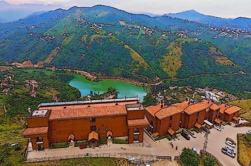
Landmark: Hidirnebi PlateauCity: Trabzon
Country: Turkey
Continent: Asia
Hidirnebi Plateau, Trabzon, Turkey, Asia
Hidirnebi Plateau is a high-altitude grassland located in the Çaykara district of Trabzon Province, Turkey.
This natural area serves as a popular destination for local residents and tourists seeking outdoor recreation.
Visual Characteristics
The plateau features expansive meadows covered in green grasses and scattered wildflowers during warmer months. Scattered coniferous trees, primarily pines and firs, are present at lower elevations and along the edges. The terrain is gently undulating, with some steeper slopes defining the plateau's perimeter. Small streams and occasional rock outcroppings are visible across the landscape.
Location & Access Logistics
Hidirnebi Plateau is situated approximately 45 kilometers south of Trabzon city center. Access is primarily via the D010 highway, turning onto provincial road 61-01 towards Çaykara. From Çaykara, follow signs for Hidirnebi Plateau, which involves a paved road that transitions to a well-maintained gravel track for the final 5 kilometers. Parking is available in designated open areas at the plateau's main access points. Public transport options are limited; local minibuses (dolmuş) operate from Trabzon to Çaykara, from where onward transport to the plateau would require a private taxi or pre-arranged transfer.
Historical & Ecological Origin
Hidirnebi Plateau is a natural geological formation, characterized by its high elevation and the resulting alpine meadow ecosystem. Its formation is linked to the erosion and weathering processes of the Pontic Mountains over millennia. The plateau's ecological significance lies in its role as a habitat for various alpine flora and fauna.
Key Highlights & Activities
Hiking trails of varying difficulty traverse the plateau. Picnicking is a common activity. Photography is facilitated by the open vistas. Horseback riding is available through local operators during peak season. Observing local wildlife, such as various bird species and small mammals, is possible.
Infrastructure & Amenities
Basic amenities include a limited number of picnic tables and some rudimentary seating areas. Restroom facilities are generally absent or very basic. Shade is provided by scattered trees. Cell phone signal (4G/5G) is intermittent and often weak across the plateau. Food vendors are typically present during the summer months, offering local snacks and beverages, but are not a permanent fixture.
Best Time to Visit
The best months for visiting are from June to September, when the weather is most favorable and the vegetation is at its peak. Mid-morning to late afternoon offers the best natural light for photography. There are no tide-dependent activities on the plateau.
Facts & Legends
Local folklore suggests that the plateau is named after Hıdır and Nebi, two saints who are said to have rested and prayed there. A specific tip for visitors is to carry sufficient water, as potable water sources are scarce. The plateau can experience rapid weather changes, even in summer, so layered clothing is recommended.
Nearby Landmarks
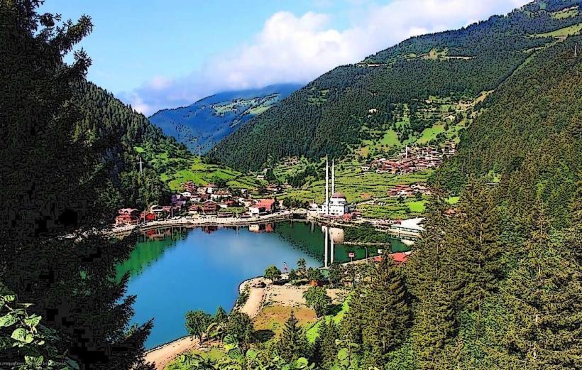
- Uzungöl Lake (15km Southeast)
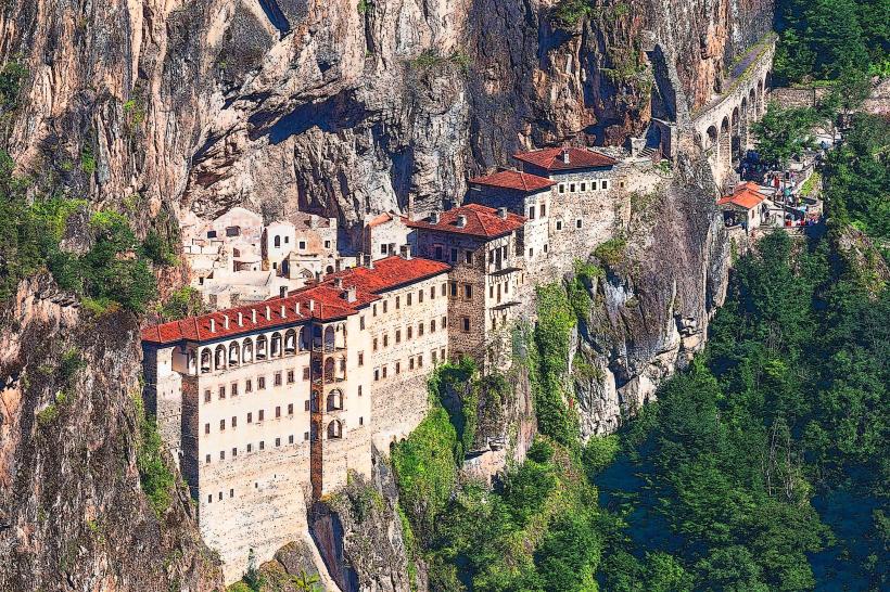
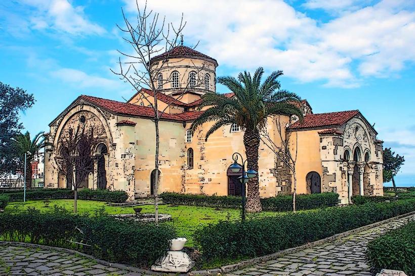
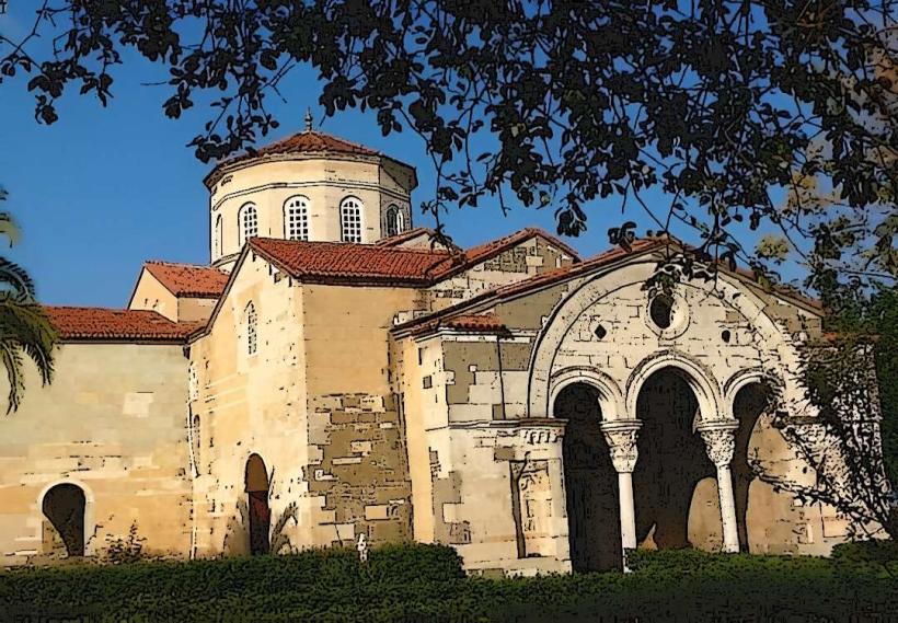
- Sümela Monastery (30km West)
- Altındere Valley National Park (32km West)
- Ayder Plateau (60km Southeast)