Information
Landmark: Hillarys Boat HarbourCity: Perth
Country: Australia
Continent: Australia
Hillarys Boat Harbour, Perth, Australia, Australia
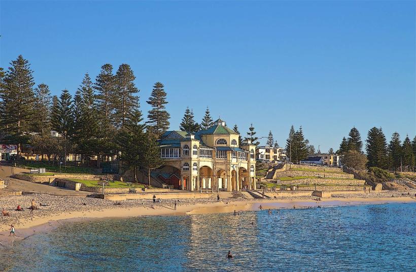
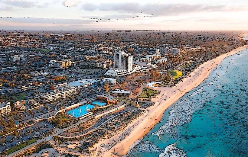
Hillarys Boat Harbour is a multi-purpose marina and entertainment precinct located in the suburb of Hillarys, approximately 20 kilometers north of Perth's central business district.
Visual Characteristics
The harbour features a central man-made basin with a capacity for over 500 vessels. Surrounding the basin are modern, low-rise buildings constructed primarily from concrete and glass, painted in neutral tones of white, beige, and grey. Paved walkways and landscaped areas with drought-tolerant native plants line the waterfront. The water within the harbour is typically calm and a deep blue, protected by breakwaters.
Location & Access Logistics
Access to Hillarys Boat Harbour is via West Coast Drive. From Perth CBD, take the Mitchell Freeway north, exiting onto Hepburn Avenue and then turning right onto West Coast Drive. The journey is approximately 20 kilometers and takes about 25-30 minutes by car, depending on traffic. Ample paid parking is available in designated lots throughout the precinct. Public transport options include the Transperth bus route 345, which runs from the Stirling Train Station directly to the harbour.
Historical & Ecological Origin
Construction of Hillarys Boat Harbour commenced in the late 1980s and was completed in stages, with the main marina opening in 1990. It was developed by the Western Australian Government as a response to the growing demand for recreational boating facilities. Ecologically, the harbour is situated on the coastline of the Indian Ocean, an area characterized by sandy beaches and coastal limestone formations. The development involved significant dredging and the construction of breakwaters to create a sheltered environment.
Key Highlights & Activities
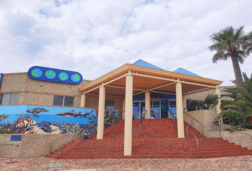
Activities include charter fishing trips departing from the marina, whale watching tours during the migration season (June to November), and ferry services to Rottnest Island. The AQWA (Aquarium of Western Australia) is a major attraction, offering underwater viewing tunnels. Dining and retail outlets are situated along the boardwalk. Kayaking and paddleboarding are permitted within the harbour basin.
Infrastructure & Amenities
Restrooms are located in multiple facilities throughout the precinct. Shaded seating areas are available along the boardwalks and in parklands. Mobile phone reception (4G/5G) is generally strong. Numerous food vendors, cafes, and restaurants are present within the harbour complex.
Best Time to Visit
For photography, early morning or late afternoon light provides optimal conditions. The best months for pleasant weather are typically September through April, with average daytime temperatures ranging from 20°C to 30°C. High tide is not a critical factor for accessing the harbour itself, but it can influence conditions for water activities like kayaking.
Facts & Legends
A notable historical oddity is that the harbour was designed to accommodate a significant increase in boat ownership projected for the late 20th century, a prediction that proved accurate. A local tip for visitors is to check the Rottnest Island ferry schedules in advance, as they can vary seasonally.
Nearby Landmarks
- Sorrento Quay Boardwalk (0.1km North)
- AQWA (Aquarium of Western Australia) (0.2km North)
- Marmion Marine Park (2.5km West)
- Whitfords Beach (3.0km South)
- Joondalup Resort (4.5km Northeast)