Information
Landmark: Swan RiverCity: Perth
Country: Australia
Continent: Australia
Swan River, Perth, Australia, Australia
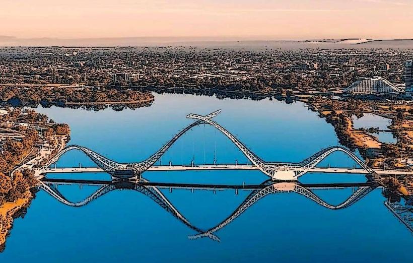
The Swan River is a river in Perth, Western Australia, flowing through the Perth metropolitan area before emptying into the Indian Ocean.
It is a significant geographical feature of the city, influencing its development and recreational activities.
Visual Characteristics
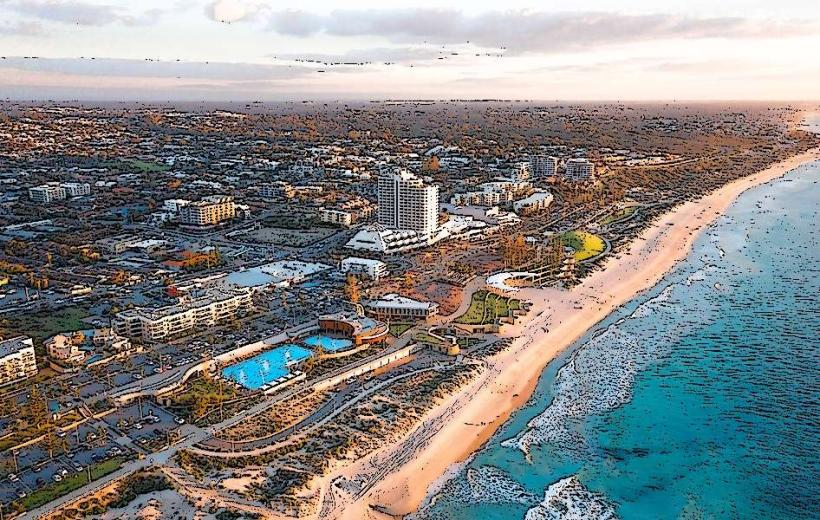
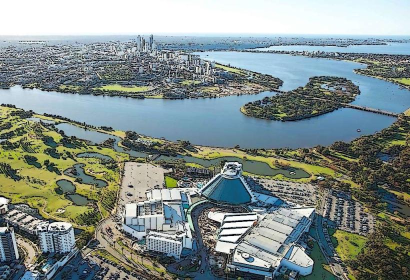
The river's width varies, averaging approximately 200 meters in the central areas and widening significantly in its estuary. Water color ranges from a murky brown, particularly after rainfall, to a clearer blue-green in drier periods. The riverbanks are a mix of natural bushland, sandy beaches, and developed urban foreshores with concrete promenades and jetties. Vegetation along the banks includes eucalyptus species and various shrubs.
Location & Access Logistics
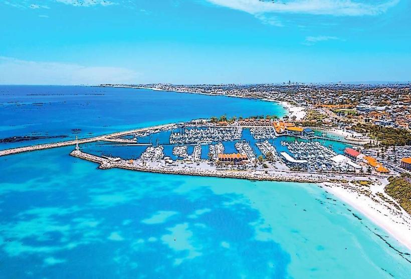
The Swan River traverses the Perth metropolitan area for approximately 72 kilometers. Access points are numerous. From Perth CBD, the river is immediately accessible. Major roads bordering the river include Riverside Drive and Canning Highway. Parking is available at designated foreshore reserves and city car parks, with varying fees. Public transport options include Transperth bus routes that run along the riverbanks (e.g., routes 28, 30, 31) and ferry services from Elizabeth Quay to South Perth and other destinations along the river.
Historical & Ecological Origin
The Swan River is an estuarine system, formed by the drowning of the Swan River valley following post-glacial sea-level rise approximately 6,000 to 8,000 years ago. It is part of the Swan Coastal Plain, a geologically young landform. The river system supports a diverse ecosystem, including various fish species, birdlife, and aquatic vegetation.
Key Highlights & Activities
Kayaking and paddleboarding are possible along the entire length of the river. Fishing is permitted in designated areas. Boat cruises operate from Elizabeth Quay, offering tours of the river and its surroundings. Walking and cycling paths are present along much of the foreshore. Swimming is possible at designated beaches, such as those in South Perth and Matilda Bay.
Infrastructure & Amenities
Restrooms are available at most major foreshore parks and reserves. Shade is provided by natural trees and constructed shelters in many public areas. Cell phone signal (4G/5G) is generally strong throughout the metropolitan section of the river. Food vendors and cafes are located at key points like Elizabeth Quay, South Perth foreshore, and Burswood.
Best Time to Visit
For photography, early morning and late afternoon offer favorable lighting conditions. The best months for pleasant weather are typically September to November (spring) and March to May (autumn), with average temperatures ranging from 15°C to 25°C. Tidal influence is minimal on recreational activities within the river itself, though it affects salinity levels.
Facts & Legends
The river was named "Swan River" by Dutch explorer Willem de Vlamingh in 1697 due to the abundance of black swans he observed. A specific tip for visitors is to check the Transperth ferry schedule for efficient travel between key riverside locations, avoiding road traffic.
Nearby Landmarks
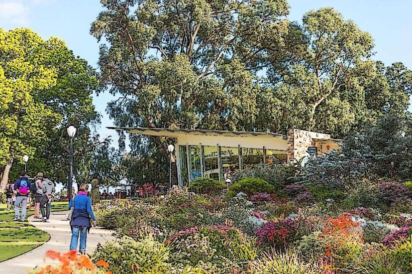
- Kings Park and Botanic Garden (0.8km West)
- Elizabeth Quay (1.2km West)
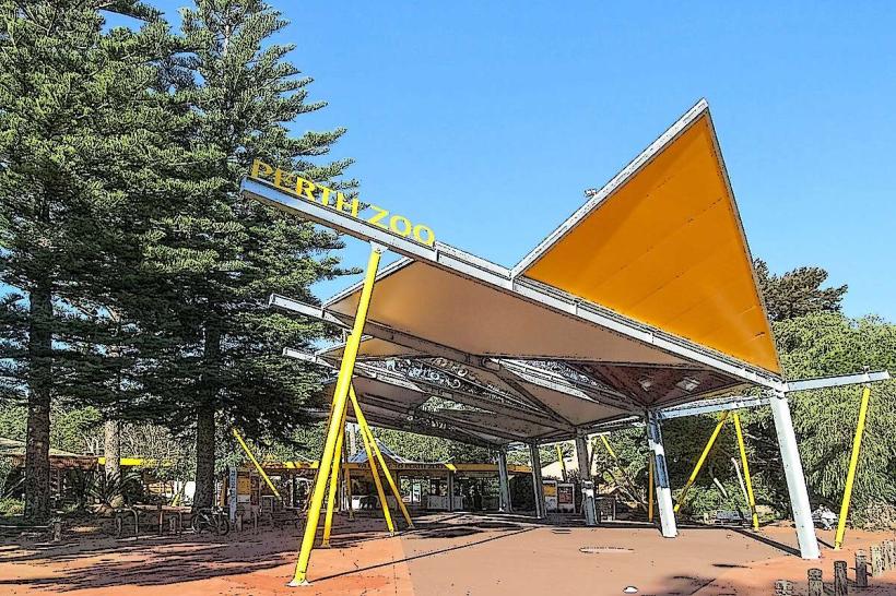
- Perth Zoo (2.5km South-East)
- Optus Stadium (3.1km East)
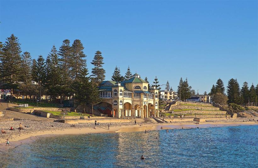
- Cottesloe Beach (6.5km West - outside 5km radius, but a significant nearby attraction)