Information
Landmark: Ice Age National Scenic TrailCity: Madison WI
Country: USA Wisconsin
Continent: North America
Ice Age National Scenic Trail, Madison WI, USA Wisconsin, North America
The Ice Age National Scenic Trail is a premier long-distance hiking trail stretching roughly 1,200 miles entirely within the state of Wisconsin. It traces the edge of the last continental glacier that shaped much of the landscape during the last Ice Age, approximately 12,000 to 15,000 years ago. This trail offers a unique and comprehensive way to explore Wisconsin’s diverse geological features, ecosystems, and cultural history linked to glacial activity.
Trail Overview and Geography
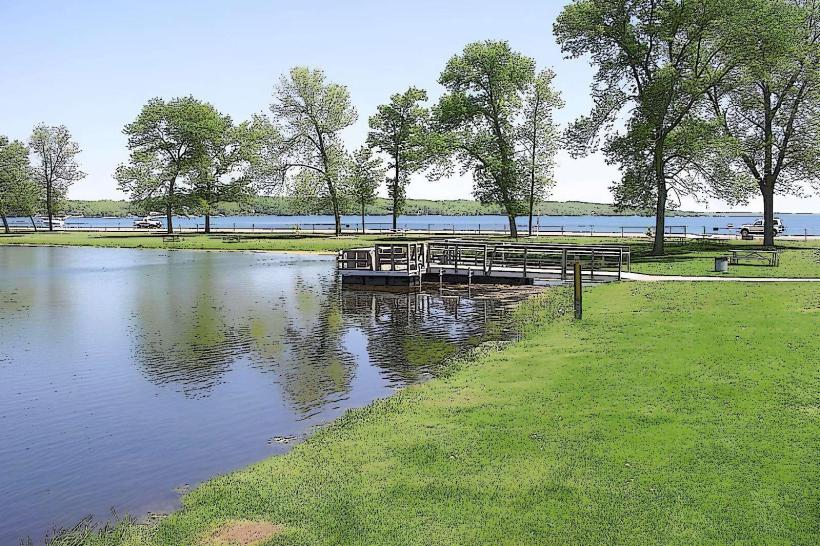
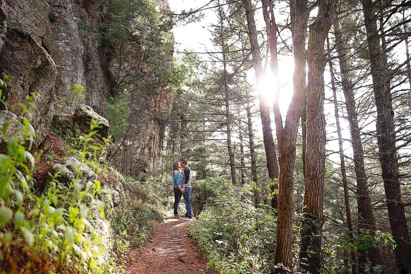
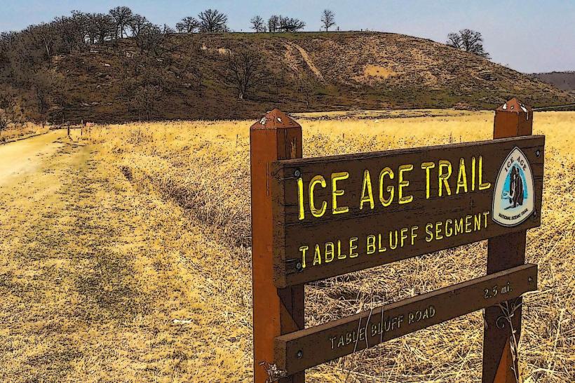
The trail is a footpath designed primarily for hiking, backpacking, and snowshoeing in winter. It weaves through a variety of landscapes, including forests, prairies, wetlands, rolling hills, lakeshores, and rugged ridges. The route is divided into over 100 distinct segments scattered across the state, with around 700 miles currently developed and maintained for public use, while the full vision is approximately 1,200 miles in length.
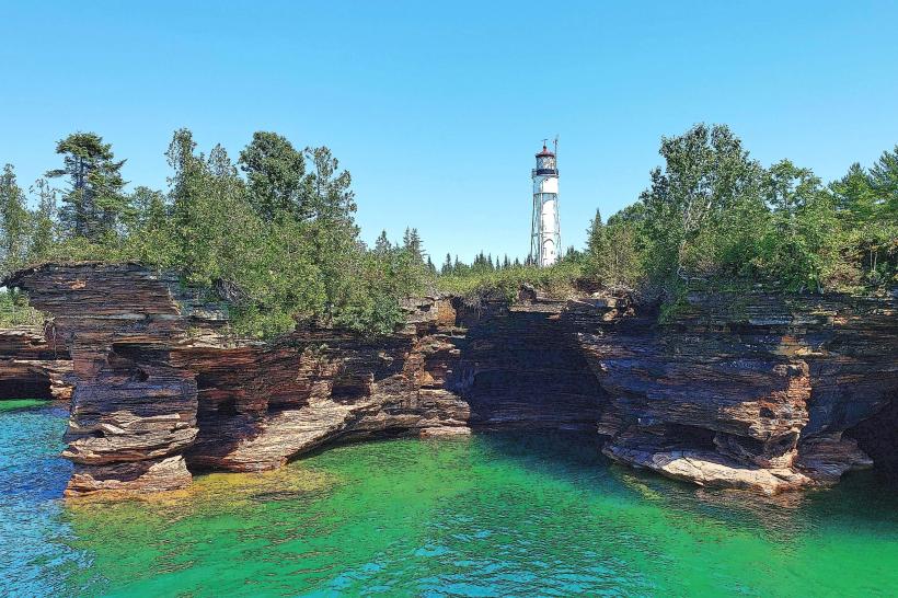
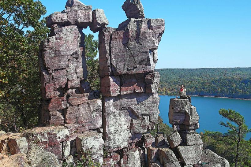
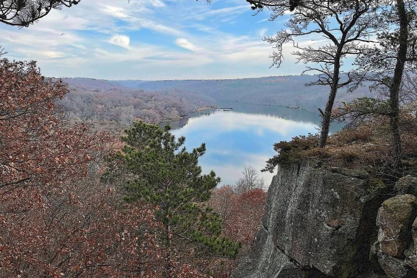
The Ice Age Trail starts in the western part of Wisconsin near St. Croix Falls, at Interstate State Park, and winds eastward across the state to its eastern terminus near Potawatomi State Park on the shores of Lake Michigan in Door County. Along the way, it passes through or near many significant natural areas, such as Kettle Moraine State Forest, Devil’s Lake State Park, Chequamegon-Nicolet National Forest, and Timm’s Hill-the highest point in Wisconsin.
Geological and Natural Features
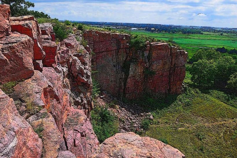
The trail’s primary attraction is its vivid display of glacial landforms created by the movement and retreat of massive ice sheets during the Pleistocene epoch. Hikers encounter numerous features, including:
Kettles: Depressions or hollows formed by melting ice blocks, often filled with water, creating kettle lakes or wetlands.
Moraines: Accumulations of debris (rocks, soil) deposited at the edges of glaciers, forming ridges and hills.
Eskers: Long, winding ridges of sand and gravel formed by glacial meltwater streams beneath the ice.
Drumlins: Smooth, elongated hills shaped by glacial ice movement, indicating the direction of ice flow.
These features not only sculpt the terrain but also influence the local ecosystems. The trail passes through rich hardwood forests dominated by oak, maple, and hickory, extensive prairie remnants, wetlands, and open meadows, supporting a diverse array of plant and animal life.
Recreational Opportunities and Trail Experience
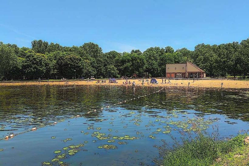
The Ice Age Trail accommodates a wide range of outdoor activities. While hiking is the primary use, many segments are suitable for backpacking, birdwatching, photography, and snowshoeing or cross-country skiing during winter months. Trail difficulty varies, ranging from easy walks on flat terrain to challenging ascents in rugged glacial hills.
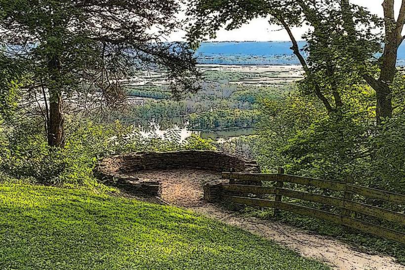
Trail segments are generally well-marked with the distinctive blue blaze markers, and many feature educational signage explaining the geological history and natural features encountered. Several segments include amenities such as parking areas, picnic spots, restrooms, and access to nearby visitor centers.
Because the trail traverses both public lands and private properties where easements have been granted, visitors are encouraged to stay on the designated path, respect landowners’ rights, and adhere to Leave No Trace principles to protect the environment.
Management and Community Involvement
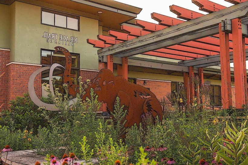
The Ice Age Trail is a collaborative project managed by the National Park Service, the Wisconsin Department of Natural Resources, and the nonprofit Ice Age Trail Alliance. The alliance, supported by thousands of volunteers, is responsible for trail construction, maintenance, advocacy, and education. This network of volunteers and staff ensures the trail remains accessible, safe, and ecologically sustainable.
The trail fosters a strong sense of community involvement. Local towns and cities along the route often embrace the trail through events, trail stewardship programs, and the promotion of sustainable tourism. Cross Plains, for example, is designated an official Ice Age Trail Community, hosting the trail alliance’s headquarters and supporting trail-related activities.
Practical Information for Visitors
Access Points: The trail is accessible at numerous trailheads scattered statewide, including major parks and natural areas.
Seasonality: The trail is open year-round. Some sections are popular for winter sports like snowshoeing and skiing.
Permits and Fees: Generally, no special permits are required to hike the trail. Vehicle admission fees may apply at certain state parks.
Safety and Preparedness: Due to varying terrain and remoteness in some segments, hikers should wear sturdy footwear, carry maps or GPS devices, bring adequate water and supplies, and be prepared for rapidly changing weather conditions.
Wildlife and Conservation: The trail passes through habitats that support deer, birds, small mammals, and diverse plant communities. Respect for wildlife and habitats is essential.
Significance and Impact
The Ice Age National Scenic Trail is unique among national scenic trails because it is contained entirely within one state, showcasing Wisconsin’s natural heritage and the lasting impact of glacial geology on the landscape. It offers both residents and visitors a way to engage with the environment, learn about geological history, and enjoy outdoor recreation.
The trail contributes significantly to conservation efforts by connecting protected areas and raising awareness about natural resource preservation. It also supports local economies through tourism and outdoor recreation-related businesses.
In summary, the Ice Age National Scenic Trail is a vast, meticulously maintained footpath that invites exploration of Wisconsin’s glacial past and natural beauty. Its varied terrain, educational opportunities, and extensive community support make it an invaluable asset for hikers, nature enthusiasts, and anyone interested in the Earth’s geological history.