Information
Landmark: Ka Lae (South Point)City: Waimea
Country: USA Hawaii
Continent: North America
Ka Lae (South Point), Waimea, USA Hawaii, North America
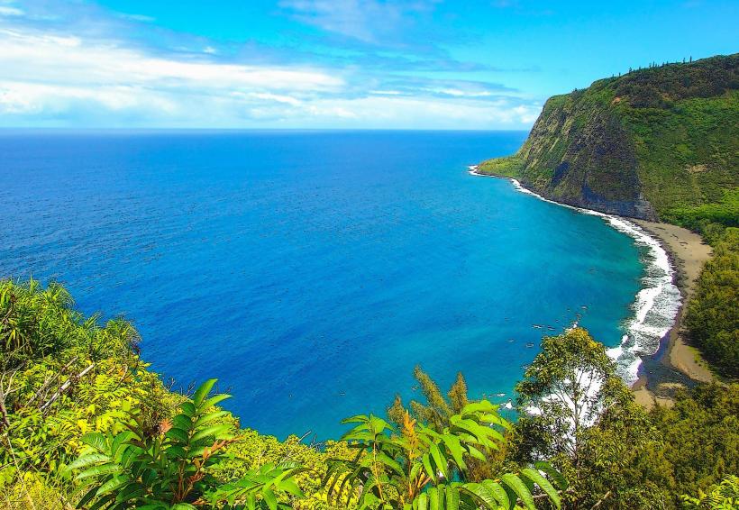
Ka Lae, also known as South Point, is the southernmost point of the island of Hawaii and the United States. It is a cape located on the southern tip of the island.
Visual Characteristics
The landscape at Ka Lae consists of dark, porous volcanic rock formations extending into the Pacific Ocean. The coastline is characterized by sheer cliffs and wave-cut platforms. Vegetation is sparse, primarily consisting of dry grasses and low-lying shrubs adapted to arid conditions. The ocean water color varies from deep blue to turquoise depending on depth and light conditions.
Location & Access Logistics
Ka Lae is situated approximately 45 kilometers south of Waimea. Access is via South Point Road, a paved public highway that extends from Highway 11. The road terminates at a parking area near the cliffs. No public transportation services operate directly to Ka Lae. Parking is available on unpaved ground adjacent to the main access point.
Historical & Ecological Origin
Geologically, Ka Lae is composed of basaltic lava flows from the Southwest Rift Zone of Mauna Loa volcano. Historically, it served as a significant landing site for early Polynesian voyagers, evidenced by archaeological findings. It is classified as a coastal arid zone ecosystem.
Key Highlights & Activities
Cliff jumping is a recognized activity at designated points, requiring caution due to unpredictable wave action. Fishing from the rocks is permitted. Observation of the ocean and coastline is the primary activity. Access to the water for swimming or snorkeling is limited and dependent on sea conditions.
Infrastructure & Amenities
There are no permanent restroom facilities or shade structures at Ka Lae. Cell phone signal (4G/5G) is generally available but can be intermittent. No food vendors are present at the site; visitors should bring their own provisions.
Best Time to Visit
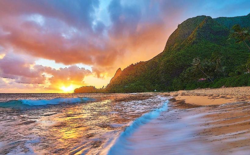
For photography, early morning or late afternoon offers direct sunlight on the rock formations. The driest months are typically from April to October. High tide can increase wave activity, impacting access to certain areas. Low tide may reveal more of the rock platforms.
Facts & Legends
Local tradition states that Ka Lae was the departure point for the spirits of the deceased on their journey to the underworld. A specific point on the cliff is known as the "Leaping Rock," a popular, though hazardous, spot for cliff jumping.
Nearby Landmarks
- Green Sand Beach (Papakolea) - 3km Northwest
- Puu o Mahana - 4km Northwest
- Kaulana Bay - 5km West
- Hōnaunau National Historical Park - 15km Northwest