Information
Landmark: KukuihaeleCity: Waimea
Country: USA Hawaii
Continent: North America
Kukuihaele, Waimea, USA Hawaii, North America
Kukuihaele is a census-designated place situated on the northeastern coast of the island of Hawaii, within the state of Hawaii, USA.
This location serves as a gateway to the dramatic Hamakua Coast and its associated natural features.
Visual Characteristics
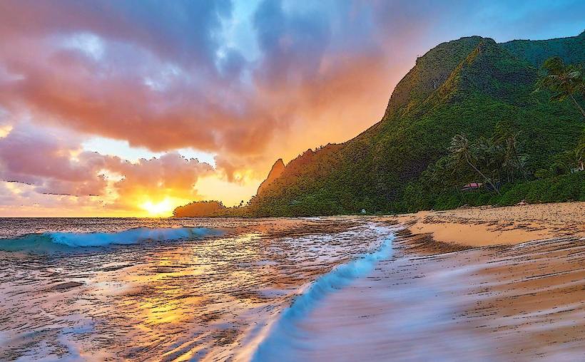
The area is characterized by steep, verdant valleys carved by erosion, with dense tropical rainforest covering the slopes. Waterfalls are a prominent feature, cascading down sheer rock faces. The coastline is rugged, with black sand beaches and lava rock formations.
Location & Access Logistics
Kukuihaele is located approximately 16 kilometers (10 miles) east of the town of Honokaa, accessible via Hawaii Route 240 (Waipio Valley Road). From Hilo International Airport (ITO), it is approximately 75 kilometers (47 miles) northwest. Parking is available at designated pull-offs along Hawaii Route 240, particularly near the Waipio Valley Overlook. Public transport options are limited; the nearest bus service operates between Honokaa and Hilo.
Historical & Ecological Origin
The valleys of the Hamakua Coast, including those near Kukuihaele, were formed by extensive erosion over millennia, with volcanic activity providing the underlying geological structure. Historically, the region was inhabited by Native Hawaiians who utilized the fertile land for agriculture. In the late 19th and early 20th centuries, it was a significant area for sugar cane cultivation.
Key Highlights & Activities
Access to Waipio Valley is a primary activity, though descent into the valley requires a 4WD vehicle or participation in a guided tour. Hiking trails exist along the rim of the valley, offering views of the landscape. Photography of the waterfalls and coastal scenery is common.
Infrastructure & Amenities
Basic amenities are available in the nearby town of Honokaa, including grocery stores and restaurants. Within Kukuihaele itself, services are minimal. Cell phone signal can be intermittent due to the terrain. Restrooms are available at the Waipio Valley Overlook.
Best Time to Visit
The best time for photography is generally in the morning when the sun illuminates the valleys from the east, or in the late afternoon. The weather is typically humid and prone to rain year-round, though the driest months tend to be from April to October. High tide is not a significant factor for access to the main viewpoints.
Facts & Legends
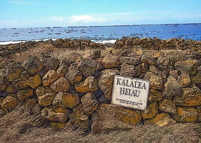
Waipio Valley, accessible from Kukuihaele, is known as the "Valley of the Kings" and was once the political and religious center of Hawaii. Legend states that the demigod Maui fished up the islands from this area.
Nearby Landmarks
- Waipio Valley Overlook (0.2km West)
- Honokaa Town (16km West)
- Akaka Falls State Park (25km Southeast)
- Hawaii Tropical Bioreserve & Garden (35km Southeast)
- Mauna Kea Summit (40km Southwest)