Information
Landmark: Karl Johans GateCity: Oslo
Country: Norway
Continent: Europe
Karl Johans Gate, Oslo, Norway, Europe
Karl Johans Gate is the primary street in Oslo, Norway, connecting the Oslo Central Station to the Royal Palace.
Visual Characteristics
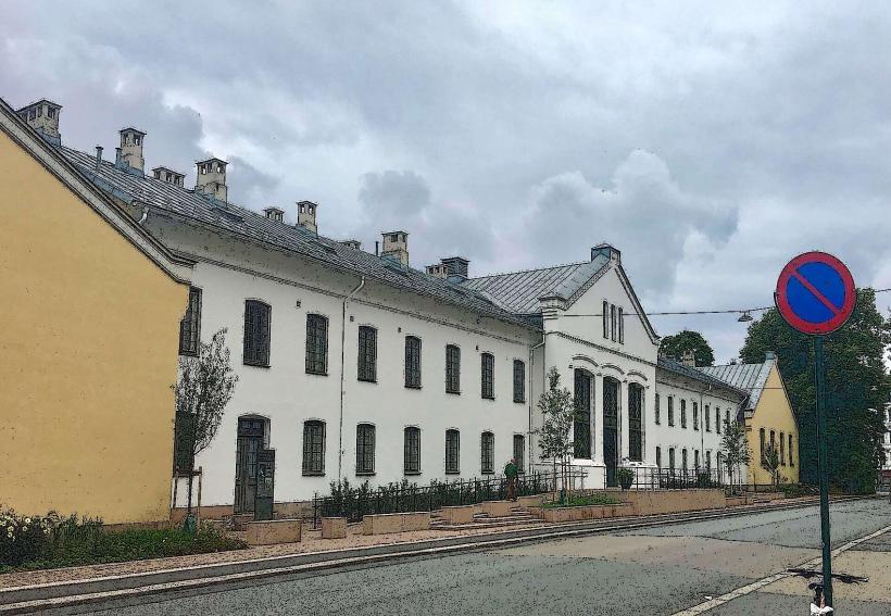
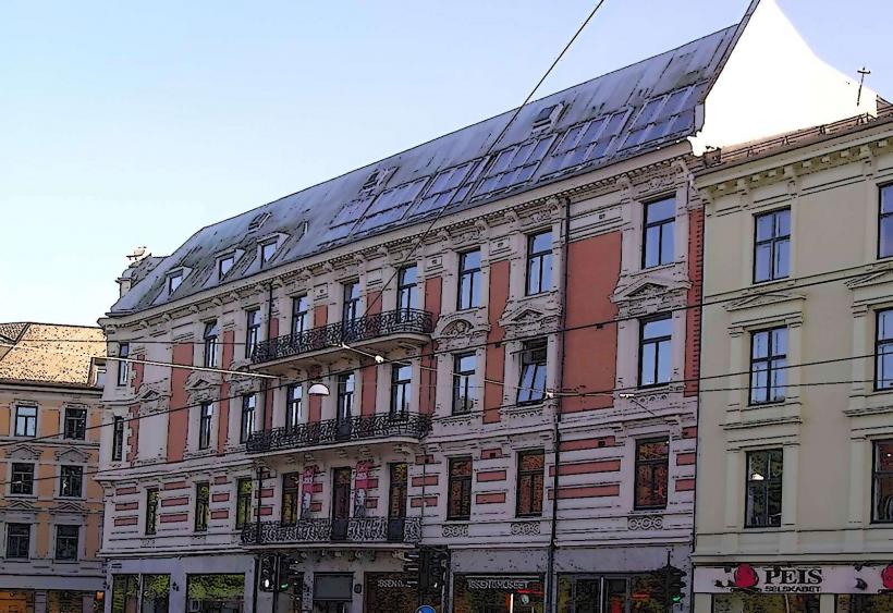
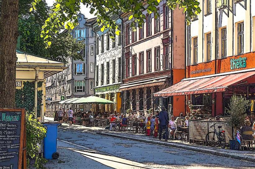
The street is approximately 1.3 kilometers long and varies in width, featuring cobblestone and asphalt sections. Buildings lining the street primarily consist of 19th-century Neoclassical and Historicist architecture, often constructed from brick or rendered facades in muted colors such as cream, grey, and light yellow. Mature trees, primarily lime and chestnut, are planted along sections, providing a green canopy. Streetlights are period-appropriate, often cast iron designs.
Location & Access Logistics
Karl Johans Gate is centrally located in Oslo's city center. It begins directly outside Oslo Central Station (Oslo S), which serves as a major hub for regional and national trains, as well as the airport express train (Flytoget). The street is largely pedestrianized in its central sections. Public transport is extensive: tram lines 11, 12, 13, 17, 18, and 19 run parallel or intersect the street, with numerous stops such as Stortinget and Nationaltheatret. Bus lines also serve the surrounding areas. Parking is limited to underground garages in nearby blocks, such as Paleet P-hus or Sentrum P-hus, as direct street parking on Karl Johans Gate is restricted.
Historical & Ecological Origin
The street was developed in two main stages. The eastern section, originally called Østre Gade, was laid out in 1840. The western section, connecting to the newly constructed Royal Palace, was designed by architect Hans Linstow in the 1830s. The two sections were formally joined and named Karl Johans Gate in 1852, honoring King Charles III John (Karl Johan). Its original purpose was to create a grand avenue befitting the new capital and its royal residence.
Key Highlights & Activities
Walking the entire length of the street from the station to the palace is a common activity. Shopping is available at various retail stores and department stores like GlasMagasinet and Paleet. Dining options range from casual cafes to formal restaurants. Observing street performers, particularly near the National Theatre and Stortinget, is frequent. Accessing the Royal Palace Park for a stroll is possible at the western end.
Infrastructure & Amenities
Public restrooms are available within major shopping centers and department stores along the street, such as Oslo City (adjacent to Oslo S) and Paleet. Ample public seating is provided via benches, particularly in the pedestrianized zones and near the palace. Full 4G/5G cell phone signal is consistently available throughout the street. Numerous food vendors, cafes, restaurants, and kiosks are present along its entire length.
Best Time to Visit
The street is active throughout the day. For photography, late morning or late afternoon offers softer light, especially on the palace end. The summer months (June to August) provide the warmest weather and longest daylight hours, ideal for outdoor activities and street life. During December, the street hosts Christmas markets and festive lighting. There are no tide requirements for visiting.
Facts & Legends
A verified historical oddity is that the street was originally designed with a slight curve to make the Royal Palace appear closer and more imposing from the city center, a common architectural trick of the era. Another fact is that the street is often referred to as "Karl Johan" by locals, omitting "Gate" (street).
Nearby Landmarks
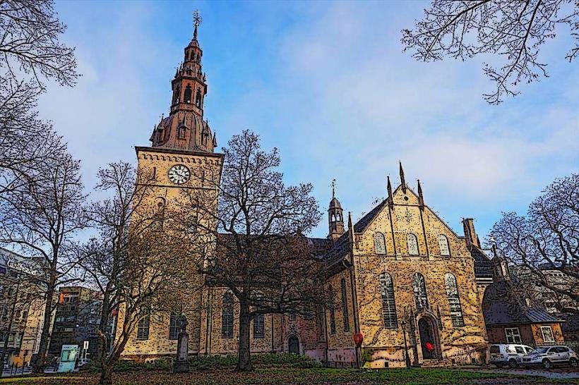
- Oslo Cathedral: 0.3km South-East
- Stortinget (Parliament of Norway): 0.2km South
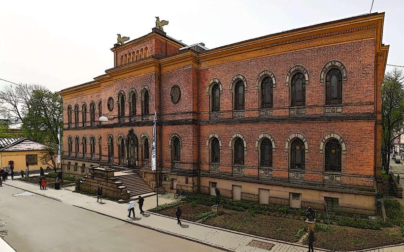
- National Theatre: 0.4km West
- Grand Hotel: 0.3km West
- Royal Palace: 1.3km West