Information
Landmark: Kotor City WallsCity: Kotor
Country: Montenegro
Continent: Europe
Kotor City Walls, Kotor, Montenegro, Europe
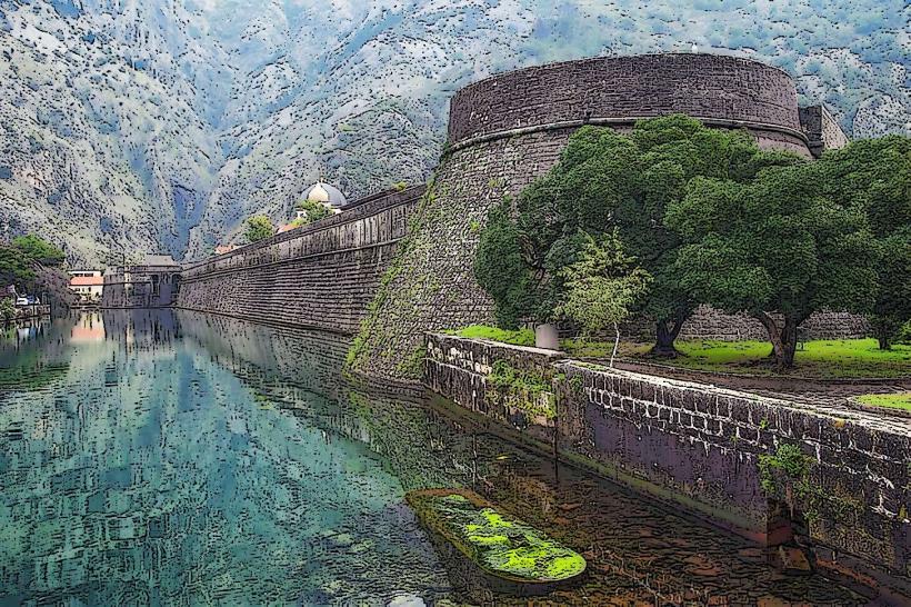
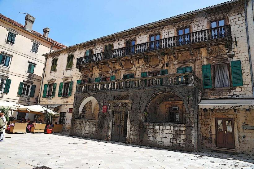
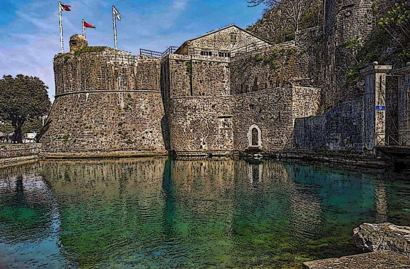
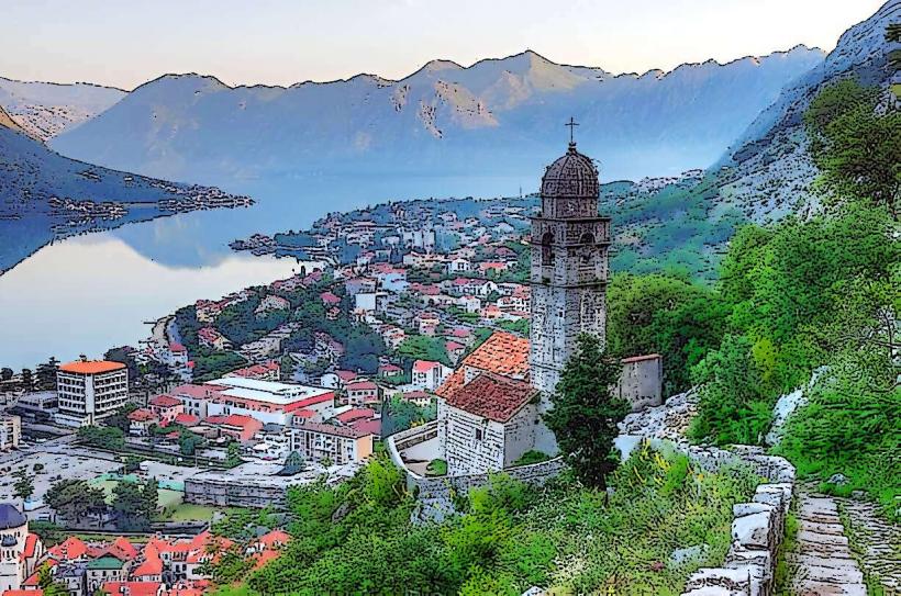
The Kotor City Walls are a massive medieval fortification system surrounding the Old Town of Kotor and ascending the adjacent cliffs of Mount Lovćen. It is a UNESCO World Heritage site under the "Venetian Works of Defence between the 16th and 17th centuries" designation.
Visual Characteristics
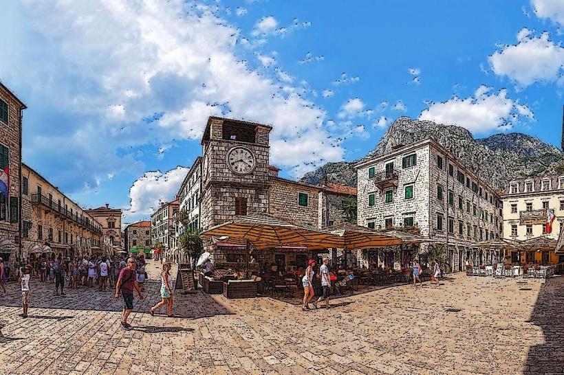
The walls form a continuous stone loop 4.5 kilometers in length, with thicknesses ranging from 2 to 16 meters and heights reaching 20 meters. The lower sections encircle the urban core in a triangular shape, while the upper sections zig-zag up the vertical karst slopes. The masonry consists of locally quarried limestone and includes bastions, towers, and gates integrated into the natural rock formations.
Location & Access Logistics
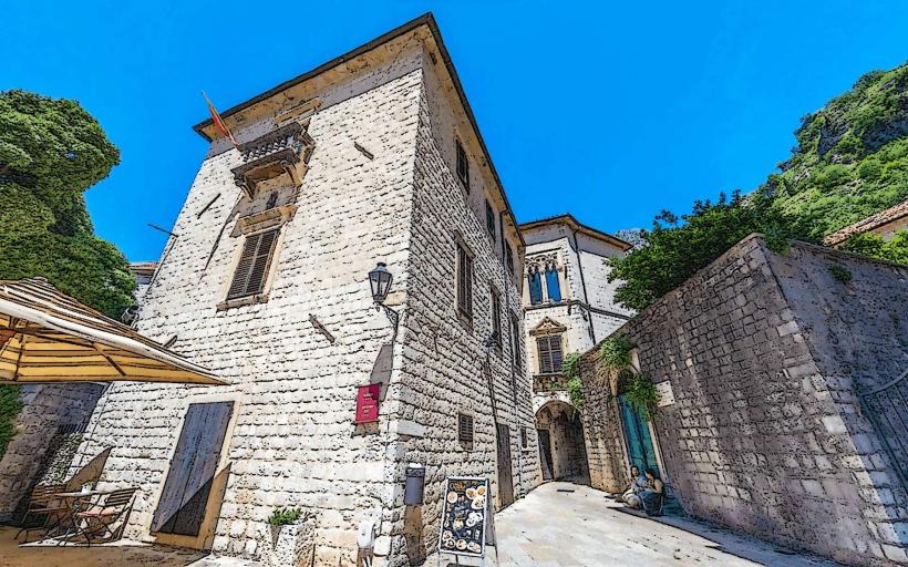
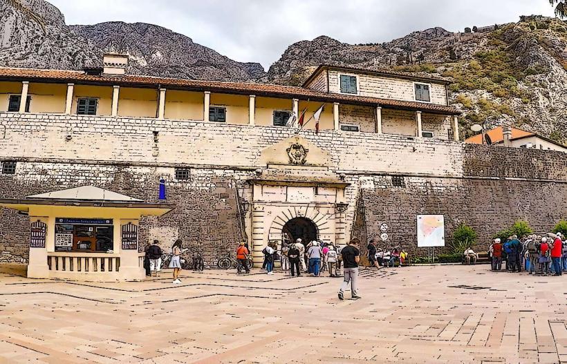
The fortifications surround the Old Town at the head of the Boka Bay. There are two primary entry points for the ascent to the summit: one near the North (River) Gate and another near the South (Gurdic) Gate. Access to the vertical climb requires a fee (approx. 15 €) during the peak season (May–October). The lower perimeter walls are accessible via various stairs within the town.
Historical & Ecological Origin
The fortifications were initiated by the Byzantines in the 9th century and expanded by the Serbian Nemanjić dynasty, but the majority of the current structure was built during the Venetian period (1420–1797) to defend against Ottoman incursions. The walls sit on the steep, unstable limestone slopes of the Lovćen massif, which required innovative engineering to prevent erosion and seismic collapse.
Key Highlights & Activities
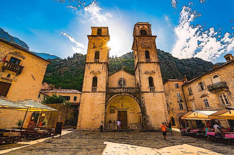
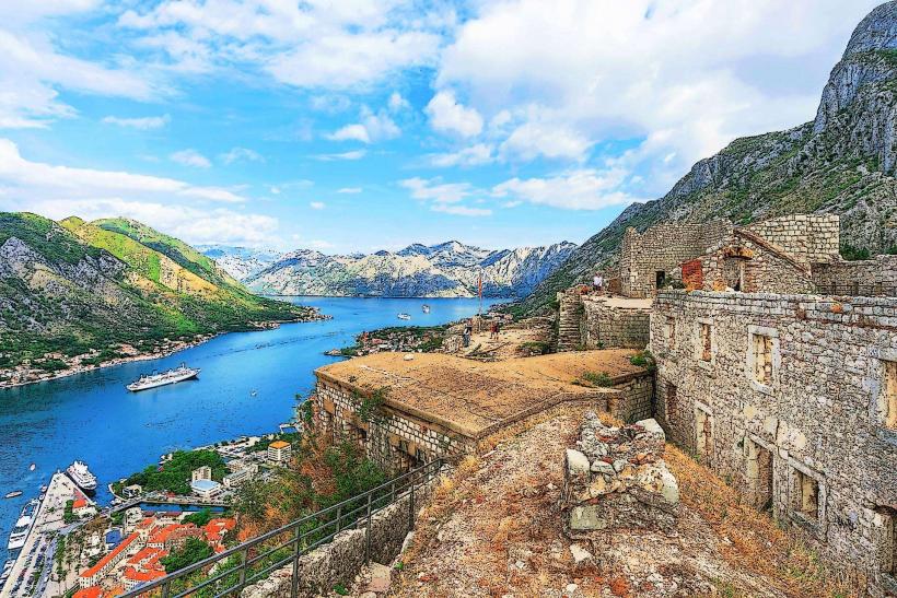
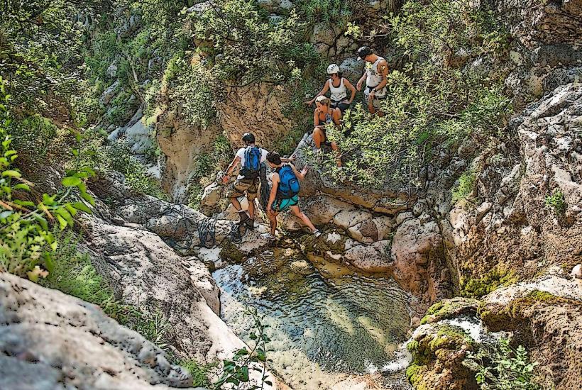
The primary activity is the ascent of 1,350 stone steps to the Castle of San Giovanni (St. John) at an elevation of 280 meters. Midway up the climb is the Church of Our Lady of Remedy, built in 1518. The Kampana Tower on the northwestern corner provides views of the harbor and the river. The summit offers a 360-degree panoramic view of the Bay of Kotor and the urban grid below.
Infrastructure & Amenities
Infrastructure on the upper climb is minimal. The stone steps are often uneven and polished smooth by wear. There are no restrooms or official water stations along the ascent. Local vendors frequently sell bottled water at elevated prices along the path. 4G and 5G cellular coverage is maintained throughout the climb.
Best Time to Visit
The ascent should be undertaken at sunrise (before 08:00) or late afternoon (after 18:00) to avoid direct sun exposure and heat stroke, as the cliffs act as a heat sink. In winter, the path can be hazardous due to ice and slippery moss. Photography is optimal during the "Golden Hour" when the sun sets behind the Vrmac ridge across the bay.
Facts & Legends
The walls were never breached by force throughout their history, earning the town a reputation for being impregnable. Local legend states that the builders mixed egg whites into the mortar to increase its binding strength and durability. A historical oddity is the "Ladder of Kotor," an old mule track outside the walls that connected the town to the former Montenegrin border in the mountains.
Nearby Landmarks
Castle of San Giovanni: 1.2km East (Vertical)
Church of Our Lady of Remedy: 0.6km East (Mid-climb)
Sea Gate (Main Entrance): 0.05km West
Skurda River: 0.1km North
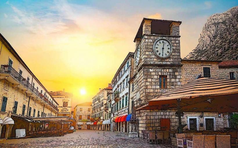
Kotor Bazaars: 0.1km South