Information
Landmark: River ŠkurdaCity: Kotor
Country: Montenegro
Continent: Europe
River Škurda, Kotor, Montenegro, Europe
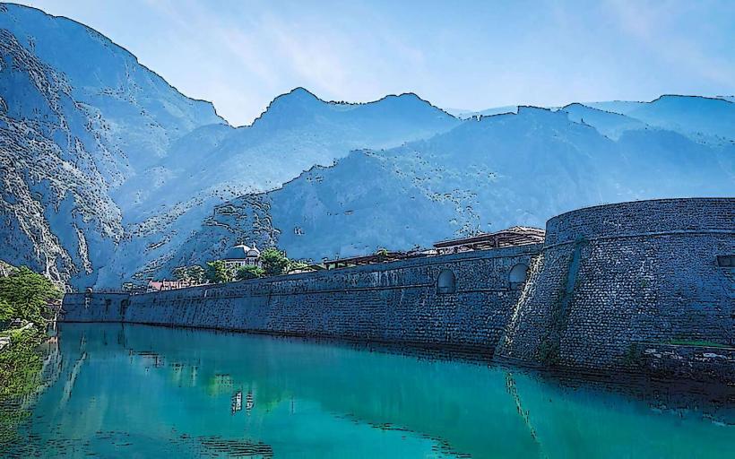
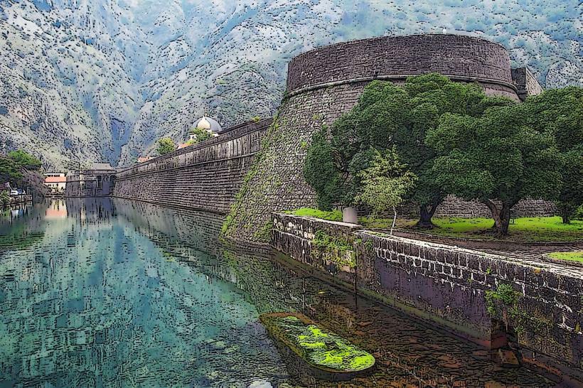
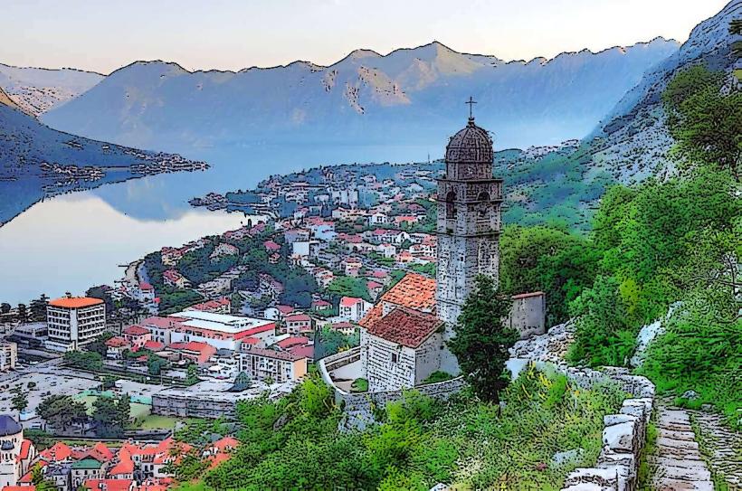
The Škurda River is a short but high-velocity karst waterway that defines the northern boundary of Kotor-old-town_kotor" class="underline">Kotor Old Town. It serves as a natural moat for the city's northern fortifications.
Physical Characteristics
The river is characterized by intense seasonal fluctuations. It originates from the high-altitude springs of the Lovćen massif and descends through a steep, narrow canyon before entering the Bay of Kotor. During the summer, the riverbed can appear shallow or stagnant, while heavy autumn and winter rains transform it into a powerful torrent with significant discharge levels.
Location & Infrastructure
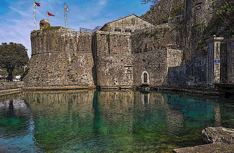
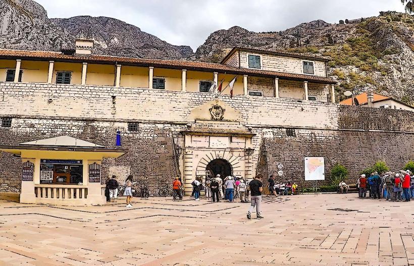
The Škurda flows along the northern city walls, directly beneath the Kampana Tower. It is crossed by two primary bridges:
The Stone Bridge: Located near the North (River) Gate, providing pedestrian access to the Old Town.
The Main Road Bridge: Carrying vehicular traffic on the E851 highway.
Historical & Defensive Role
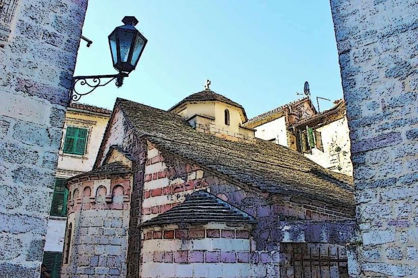
The river was a critical component of Kotor’s defense system. The Venetian fortifications were built specifically to follow the river’s edge, utilizing the water as a barrier against land-based incursions from the north. The North Gate (Vrata od Škurde) was constructed in 1540 in the Renaissance style to regulate access across this natural boundary.
Ecological Origin
The Škurda is a typical Mediterranean karst river. Its water is exceptionally clear and cold, sourced from subterranean limestone channels. The river mouth creates a small brackish zone where it meets the Adriatic Sea, supporting local bird populations and specialized aquatic flora.
Key Points of Interest
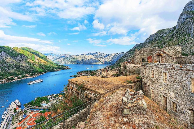
The Horseshoe Bend: A sharp curve in the river just before it enters the bay, providing a vantage point for photographing the city walls reflecting in the water.
Škurda Canyon: A popular site for canyoning and extreme hiking located just upstream from the town.
Hydroelectric Ruins: Remains of an old hydroelectric plant, one of the first in Montenegro, are visible further up the canyon.
Logistics
Access: The riverbanks are accessible via the promenade outside the North Gate.
Safety: During flood stages, the water level can rise to the base of the bridge; visitors are advised to stay on the designated paths.
Connectivity: 4G and 5G signals are robust throughout the riverfront area.
Nearby Landmarks
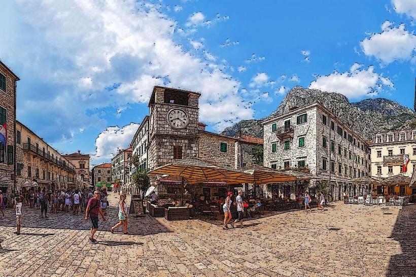
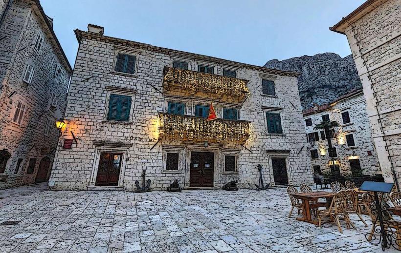
Kampana Tower: 0.05km West
North Gate: 0.02km South
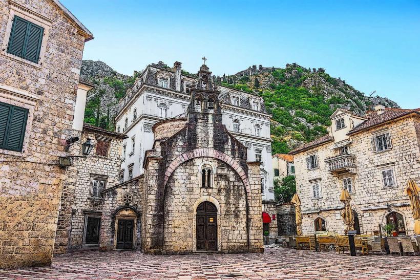
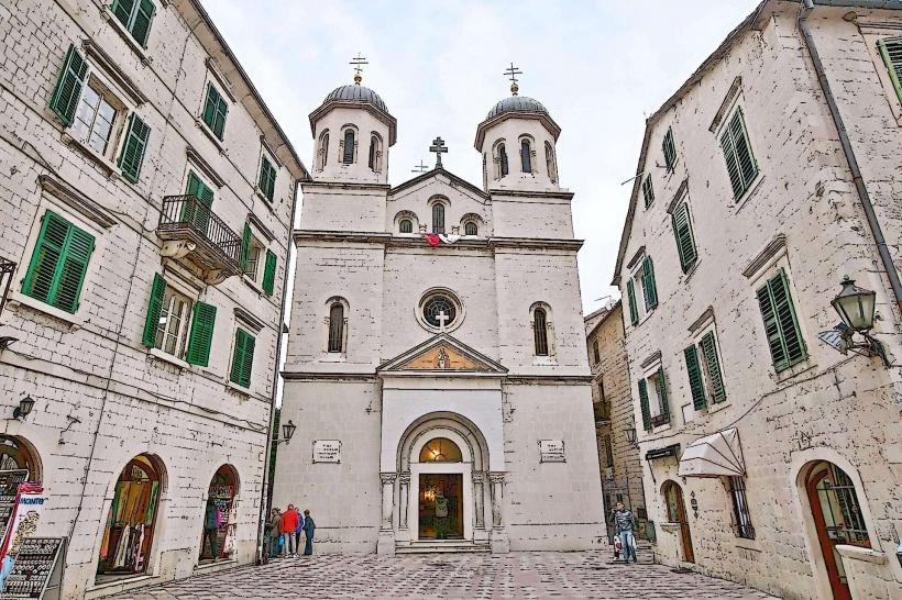
St. Nicholas Church: 0.2km South
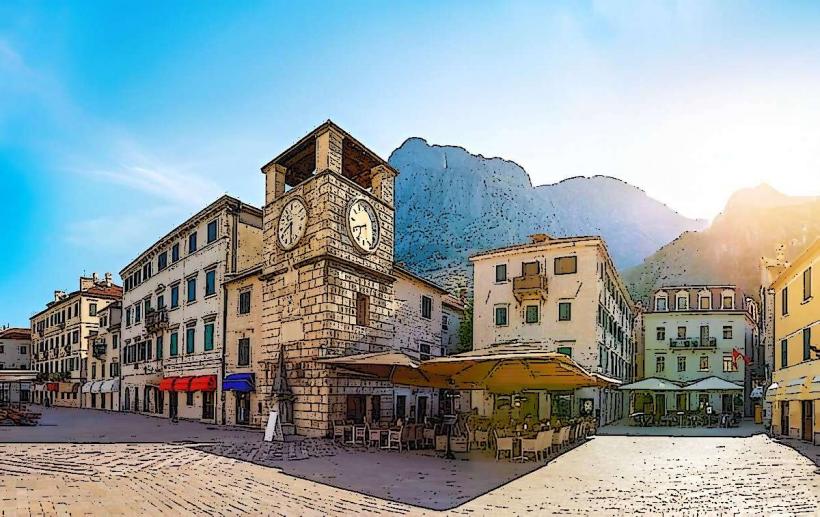
Kotor Bazaar: 0.1km South
Vrmac Tunnel: 3km Southwest