Information
Landmark: Kungsleden TrailCity: Kiruna
Country: Sweden
Continent: Europe
Kungsleden Trail, Kiruna, Sweden, Europe
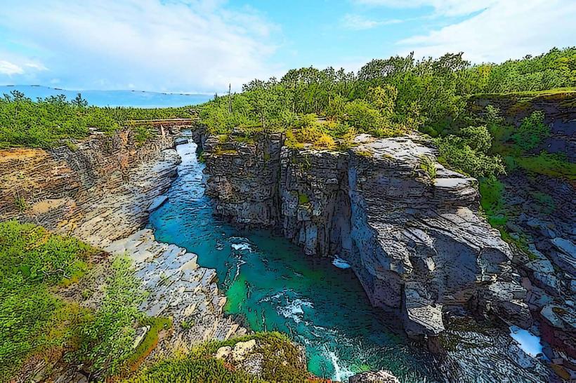
The Kungsleden Trail is a long-distance hiking route spanning approximately 440 kilometers through the Scandinavian Mountains in northern Sweden. Its northernmost point is located near Abisko, within the municipality of Kiruna.
Visual Characteristics
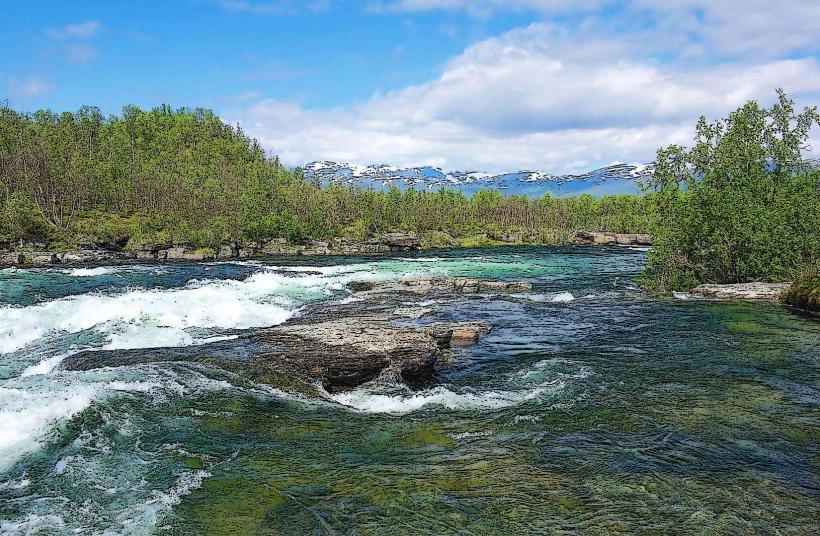
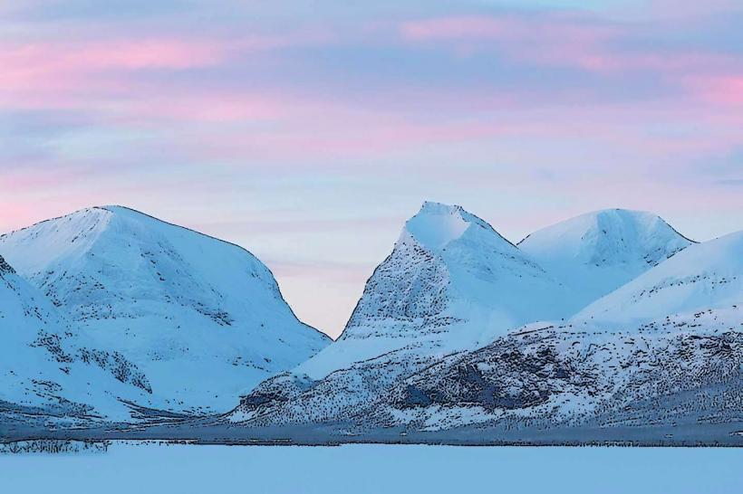
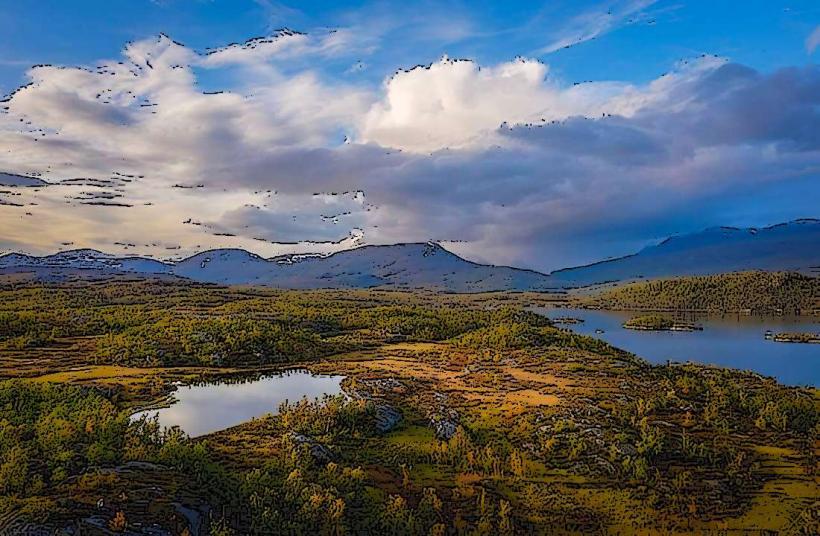
The trail traverses diverse subarctic landscapes, including dense birch forests, expansive open mountain tundra, and rocky fells. Water features include numerous clear mountain lakes, glacial streams, and occasional small glaciers at higher elevations. Vegetation varies from low-growing shrubs and mosses in the tundra to taller birch trees in valleys, with colors shifting from summer greens to autumn reds and yellows.
Location & Access Logistics
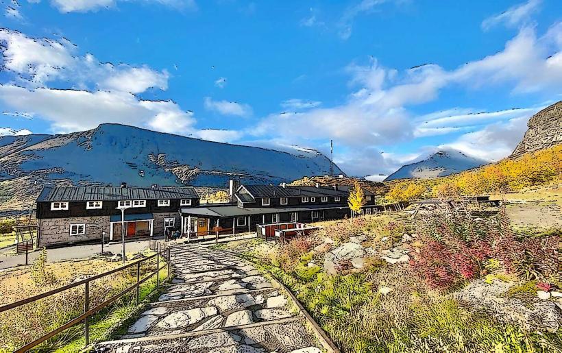
The Kungsleden Trail is accessible from several points within the Kiruna municipality. The northern terminus at Abisko Turiststation is approximately 100 kilometers northwest of Kiruna City Center, reachable via the E10 highway. Another common access point is Nikkaluokta, approximately 70 kilometers west of Kiruna, also accessible by road. Parking is available at both Abisko Turiststation and Nikkaluokta. Public transport includes bus services (e.g., Länstrafiken Norrbotten line 92 to Nikkaluokta, line 91 to Abisko) and train services (SJ) connecting Kiruna to Abisko.
Historical & Ecological Origin
The Kungsleden Trail was established by the Swedish Tourist Association (STF), with its development primarily occurring between the late 19th and early 20th centuries. Its original purpose was to facilitate tourism and recreation by making the remote Swedish mountain regions more accessible. Ecologically, the trail passes through a subarctic mountain environment, characterized by boreal forest at lower elevations and alpine tundra above the tree line.
Key Highlights & Activities
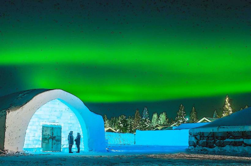
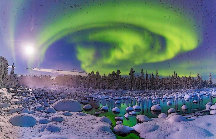
Key activities include multi-day long-distance hiking, often involving hut-to-hut trekking between STF mountain cabins. Fishing is possible in many mountain lakes and rivers with appropriate permits. Wildlife observation opportunities include reindeer, moose, and various bird species. Photography of the subarctic landscape, including the aurora borealis during specific seasons, is a common activity.
Infrastructure & Amenities
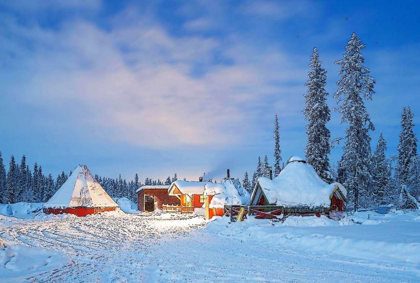
Along the trail, STF mountain huts provide basic accommodation, emergency shelters, and outhouses. Some huts offer limited provisions for purchase, such as dried food and snacks. Shade is available within birch forest sections but is minimal in open tundra. Cell phone signal (4G/5G) is sporadic and unreliable along most of the trail, with limited coverage often found only near huts or at higher elevations. Food vendors are primarily located at major trailheads like Abisko Turiststation and Nikkaluokta, which have restaurants and small shops.
Best Time to Visit
The optimal period for hiking the Kungsleden Trail without significant snow cover is from late June to early September. Late August to early September offers the advantage of autumn foliage colors and generally fewer mosquitoes. For photography, early morning and late evening hours provide softer light conditions. The trail is not subject to high or low tide requirements.
Facts & Legends
The trail is consistently marked with red painted crosses on rocks and trees to guide hikers. A practical tip for visitors is to book accommodation in STF mountain huts well in advance, especially during the peak hiking season in July and August, as capacity is limited. Sámi folklore, prevalent in the region, includes tales of mountain spirits and guardians of the land, often associated with specific natural formations.
Nearby Landmarks
- Abisko National Park: 0km, surrounds the northern section of the trail.
- Torneträsk Lake: 0km, the trail runs along its southern shore near Abisko.
- Abisko Sky Station: 1km West from Abisko Turiststation, accessible via chairlift.
- Björkliden Fjällby: 8km West from Abisko Turiststation.