Information
Landmark: Luleå RiverCity: Kiruna
Country: Sweden
Continent: Europe
Luleå River, Kiruna, Sweden, Europe
The Luleå River is a major watercourse in northern Sweden, originating in the Scandinavian Mountains and flowing southeast to the Gulf of Bothnia. It is a significant geographical feature within Norrbotten County, which encompasses the municipality of Kiruna.
Visual Characteristics
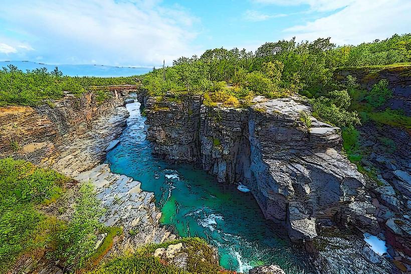
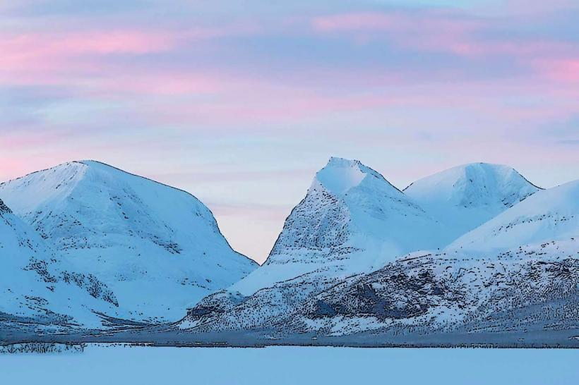
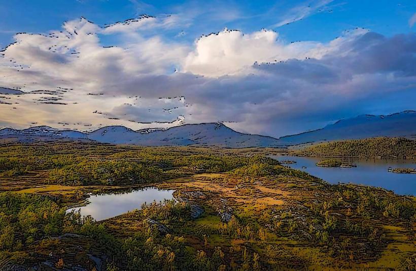
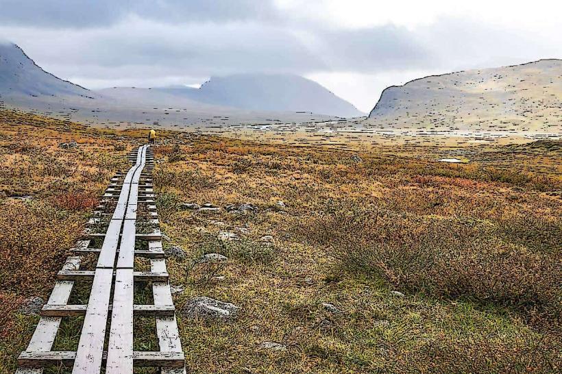
The Luleå River exhibits varied visual characteristics along its 460-kilometer course. In its upper reaches, the water is typically clear, flowing through glacial valleys and forested areas dominated by pine and spruce. Further downstream, particularly in sections like the Storforsen Nature Reserve, the river widens significantly, featuring powerful rapids and cascades over exposed bedrock formations. The water color can range from clear to a greenish-brown tint, influenced by sediment load and surrounding vegetation. Riverbanks are often composed of coarse gravel and sand, transitioning to bedrock outcrops and dense boreal forest.
Location & Access Logistics
The Luleå River does not flow directly through Kiruna municipality. A significant and accessible section, such as the Storforsen Nature Reserve, is located approximately 160 kilometers southeast of Kiruna. Access from Kiruna involves driving south on E10 for approximately 100 kilometers, then connecting to Route 356 towards Älvsbyn. The journey typically takes 2 hours by car. Ample parking is available at designated areas within Storforsen. Public transport from Kiruna to this specific section of the Luleå River is not direct; it would require multiple bus transfers via larger towns like Luleå or Boden, making a private vehicle the most practical option.
Historical & Ecological Origin
The Luleå River's course was primarily shaped by glacial activity during the last ice age, with its valleys carved by retreating ice sheets. Post-glacial rebound continues to influence its landscape. Ecologically, it is classified as a boreal river system, supporting diverse fish populations including salmon, grayling, and pike. Historically, the river has been crucial for timber floating and, since the mid-20th century, has been extensively developed for hydropower, with numerous dams and power stations altering its natural flow. The river basin has been inhabited by the indigenous Sámi people for millennia.
Key Highlights & Activities
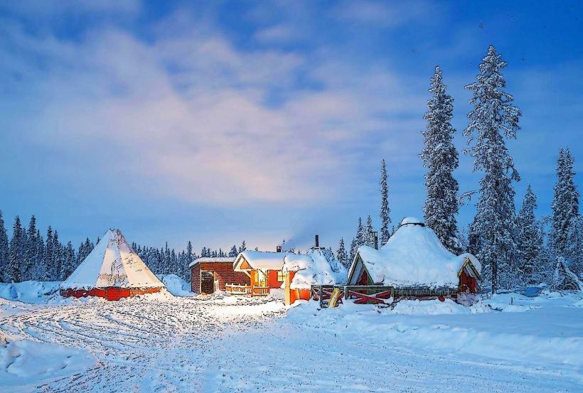
Specific activities along the Luleå River include fly fishing for salmon and trout, particularly in designated areas. White-water rafting is possible on certain rapids sections during summer months. Hiking trails are maintained along various stretches, such as those within Storforsen Nature Reserve, offering views of the rapids and surrounding forests. During winter, sections of the river freeze, allowing for ice fishing and snowmobiling.
Infrastructure & Amenities
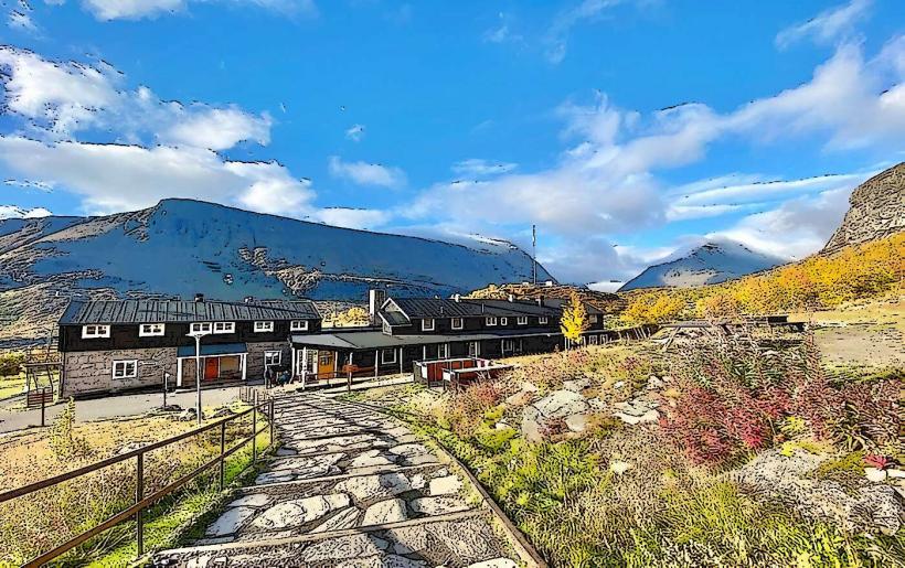
Infrastructure varies significantly along the river's length. At popular visitor sites like Storforsen Nature Reserve, facilities include public restrooms, designated picnic areas, and some sheltered spots. Shade is primarily provided by the surrounding forest canopy. Cell phone signal (4G/5G) is generally available in populated areas and along major roads, but can be intermittent in remote sections. Food vendors or small cafes are present at major tourist points, but not consistently along the entire river.
Best Time to Visit
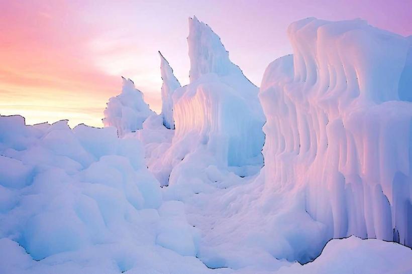
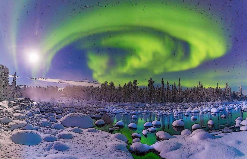
The best time to visit the Luleå River for outdoor activities is during the summer months, from June to August, when temperatures are mild and daylight hours are long. For photography, early morning or late evening light provides softer illumination of the river and landscape. Fishing seasons are typically regulated, with specific periods for different species. Winter offers opportunities for snow-based activities, generally from December to March, when the river is frozen.
Facts & Legends
The Storforsen rapids on the Luleå River are one of Europe's largest unregulated rapids, meaning they are not dammed for hydropower, allowing for a powerful natural flow. Local folklore suggests that the roar of the rapids is the voice of a mythical river spirit. A historical oddity is the presence of ancient log driving channels and structures, remnants of the river's past as a vital transport route for timber from the vast northern forests to sawmills on the coast.
Nearby Landmarks
- Storforsen Nature Reserve (0km, directly on the river)
- Piteälven River (20km South-West)
- Älvsbyn (30km South-East)
- Boden Fortress (70km South-East)
- Vidsel Test Range (40km North-East)