Information
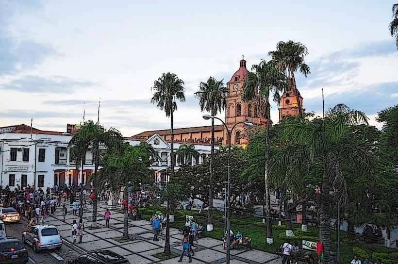
Landmark: Laguna VolcánCity: Santa Cruz de la Sierra
Country: Bolivia
Continent: South America
Laguna Volcán, Santa Cruz de la Sierra, Bolivia, South America
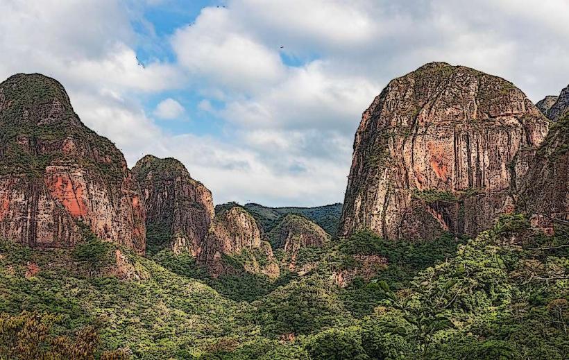
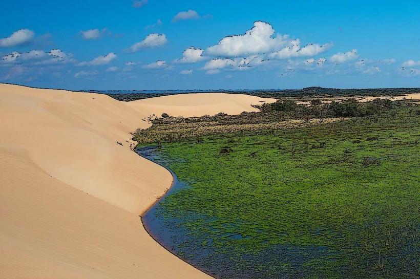
Laguna Volcán is a crater lake located within the municipality of Santa Cruz de la Sierra, Bolivia.
This geological formation is characterized by its circular basin filled with water, surrounded by elevated terrain.
Visual Characteristics
The lake's water exhibits a variable color, often appearing turquoise or greenish depending on light conditions and mineral content. The surrounding land consists of exposed rock and sparse vegetation, typical of volcanic environments. The crater rim rises approximately 50 meters above the water level.
Location & Access Logistics
Laguna Volcán is situated approximately 25 kilometers west of the Santa Cruz de la Sierra city center. Access is via the Route 7 highway, turning onto an unpaved access road approximately 20 kilometers from the city. The final 5 kilometers to the site are rough and may require a 4x4 vehicle, especially during the rainy season. Limited parking is available at the site. No public transport directly serves Laguna Volcán.
Historical & Ecological Origin
Laguna Volcán is a maar, a type of volcanic crater formed by a phreatomagmatic eruption, where magma interacts with groundwater. The formation is estimated to be several thousand years old. It represents a significant geological feature in the otherwise sedimentary plains of the region.
Key Highlights & Activities
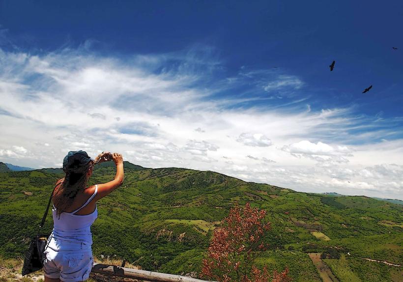
Observation of the crater lake and surrounding geological formations is the primary activity. Hiking around the crater rim is possible, offering different vantage points. Photography is a common pursuit due to the unique landscape.
Infrastructure & Amenities
There are no permanent infrastructure or amenities at Laguna Volcán. Visitors should bring their own water and food. Restroom facilities are not available. Cell phone signal is intermittent to non-existent.
Best Time to Visit
The best time of day for photography is generally late morning or early afternoon when sunlight illuminates the water and rock formations. The dry season, from May to October, offers the most accessible conditions for reaching the site. The wet season (November to April) can make the access road impassable.
Facts & Legends
Local folklore suggests the crater was formed by a celestial event, though geological evidence points to a volcanic origin. A specific tip for visitors is to wear sturdy footwear due to the uneven terrain and loose rock.
Nearby Landmarks
- Parque Regional Lomas de Arena (15km East)
- Cerro Chico (18km Southwest)
- El Cristo Redentor (22km East)