Information
City: Santa Cruz de la SierraCountry: Bolivia
Continent: South America
Santa Cruz de la Sierra, Bolivia, South America
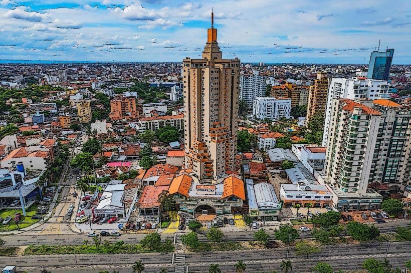
Santa Cruz de la Sierra serves as the commercial and industrial powerhouse of Bolivia and the capital of the Santa Cruz Department. Located in the tropical eastern lowlands along the Piraí River, it is the most populous city in the country and stands at an elevation of 416m, significantly lower than the Andean capitals.
Historical Timeline
The city was founded on February 26, 1561, by Ñuflo de Chaves, originally located 200 kilometers east of its current site. Due to indigenous resistance and logistical hardships, it was moved twice, settling at its final location in 1592. For centuries, it remained a remote frontier outpost. The most significant modern reconstruction and growth phase began in the 1950s with the completion of the highway to Cochabamba and the discovery of local oil and gas reserves. The transition from an isolated colonial town to a globalized metropolis was finalized in the late 20th century, driven by the expansion of large-scale agribusiness.
Demographics & Population
The estimated metro area population for 2026 is 1,927,000, with some projections reaching 2.1 million. It is the fastest-growing city in Bolivia, acting as a primary destination for internal migrants. The demographic profile is a diverse mix of Mestizo, European (including significant Mennonite and German-descendant communities), and indigenous groups. The median age is approximately 25.2 years.
Urban Layout & Key Districts
The city is uniquely organized into a series of approximately nine concentric Rings (Anillos) radiating from the center.
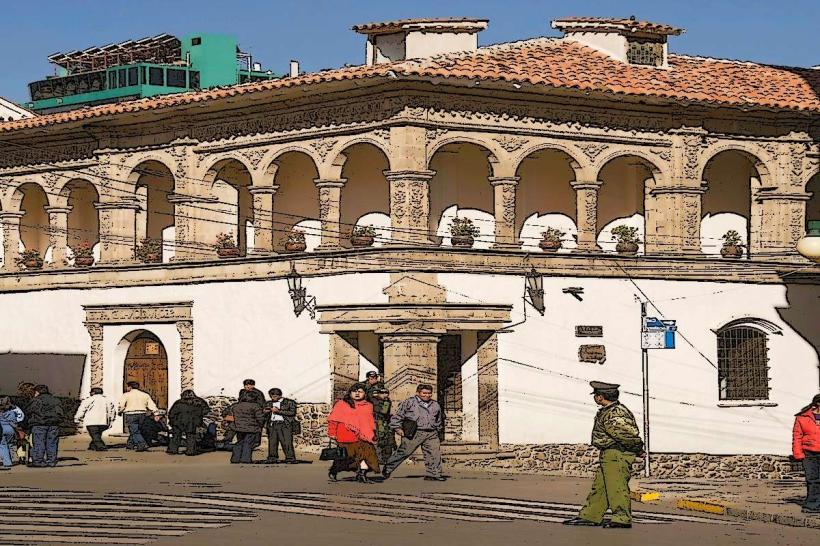
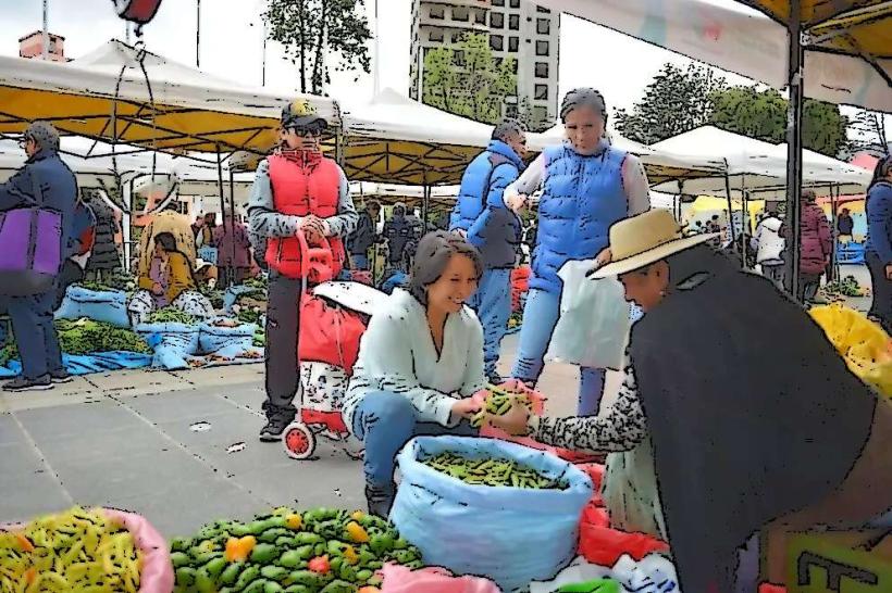
Casco Viejo (First Ring): The colonial heart containing the Cathedral and traditional markets.
Equipetrol: Located between the 2nd and 3rd rings; the city's most upscale district, known for business towers, luxury hotels, and high-end nightlife.
Urubó: A rapidly developing luxury residential area located across the Piraí River to the west, characterized by gated communities and country clubs.
Plan Tres Mil: A high-density, socio-economically diverse district on the southeastern periphery, home to a large migrant population.
Top City Landmarks
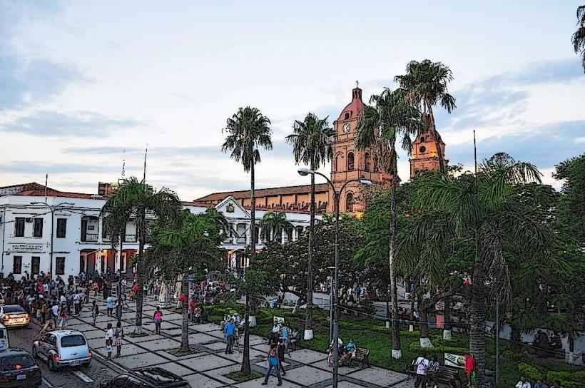
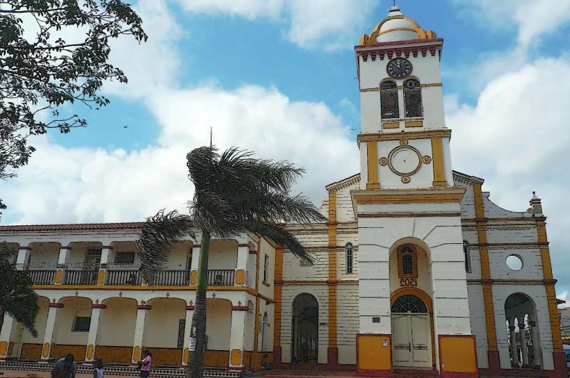
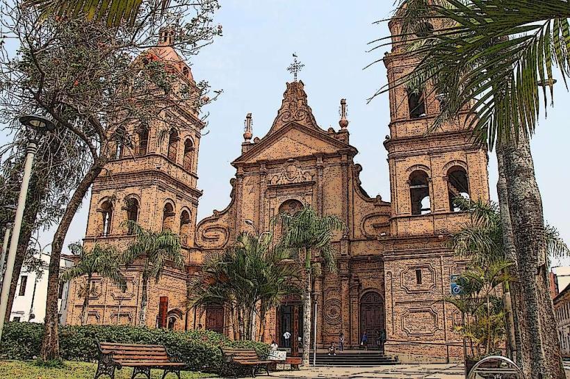
Metropolitan Cathedral (San Lorenzo): A massive brick structure on the main plaza featuring distinct wooden vaults.
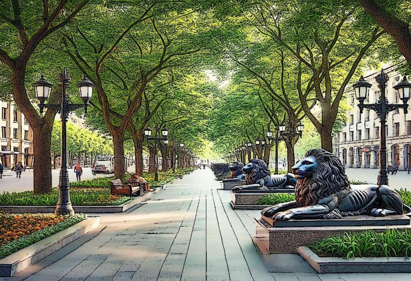
Plaza 24 de Septiembre: The central social hub, characterized by its tropical palm trees and colonial architecture.
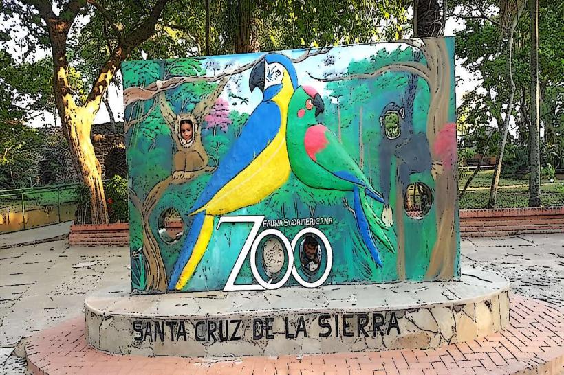
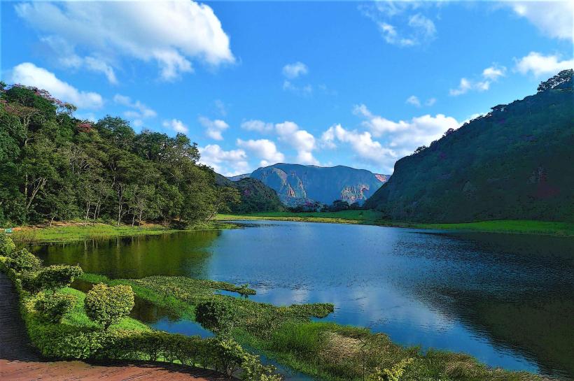
Biocentro Güembé: An ecological resort featuring the world’s largest butterfly conservatory and several lagoons.
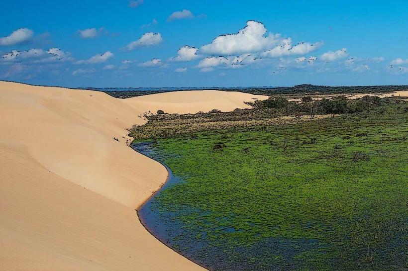
Las Lomas de Arena: A regional park 12 km from the city center featuring massive sand dunes surrounded by tropical forest.
Cristo Redentor: A monumental statue of Christ located on the second ring, serving as a primary city landmark.
Transportation Network
There is no metro system. Public transit relies on an extensive but fragmented network of "micros" (buses) and "trufis." Viru Viru International Airport (VVI) is the nation's primary international gateway. Ride-sharing via Uber and Yango is highly active and serves as the preferred method for tourists. Traffic density is extreme, particularly on the 2nd and 4th rings during peak hours (07:30–09:00 and 18:00–19:30).
Safety & "Red Zones"
Santa Cruz is generally safer than La Paz regarding civil unrest, but petty and violent crime rates are higher.
Red Zones: Areas around the "Los Pozos" and "La Ramada" markets are high-risk for pickpocketing. The "Plan Tres Mil" area should be avoided at night by those unfamiliar with the district.
Environmental Risk: The city is prone to severe urban flooding during the rainy season (December–March), which can paralyze traffic on the rings.
Digital & Financial Infrastructure
Average internet speed is 60-100 Mbps, the highest in Bolivia. Main carriers are Tigo, Entel, and Viva. Card acceptance is high in Equipetrol and the northern malls (Ventura and Las Brisas), though cash remains essential for smaller vendors. ATMs are ubiquitous in all central rings. In 2026, the city remains the hub for the country’s emerging fintech and digital service sectors.
Climate & Air Quality
The climate is tropical savanna. Temperatures range from 22°C to 35°C in summer. In winter (May–August), sudden cold fronts called surazos can drop temperatures to 10°C within hours. Air quality is generally moderate but can become hazardous in August and September due to "chaqueo" (slash-and-burn agricultural fires) in the surrounding lowlands.
Culture & Social Norms
Identity: Residents call themselves Cambas, emphasizing a tropical, lowland identity distinct from the "Collas" of the highlands.
Tipping: 10% is standard in restaurants.
Social Life: The culture is highly extroverted; social life centers around "churrascos" (barbecues) and outdoor cafes along Monseñor Rivero avenue.
Accommodation Zones
Equipetrol: Best for business travelers and high-end security.
Casco Viejo: Best for those seeking a traditional atmosphere and proximity to museums.
Local Cost Index
1 Espresso: 18 BOB ($2.60 USD)
1 Standard Lunch: 45 BOB ($6.50 USD)
1 Taxi (Within 2nd Ring): 15–20 BOB ($2.15–$2.90 USD)
Nearby Day Trips
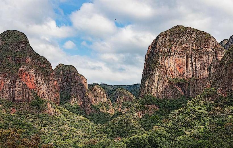
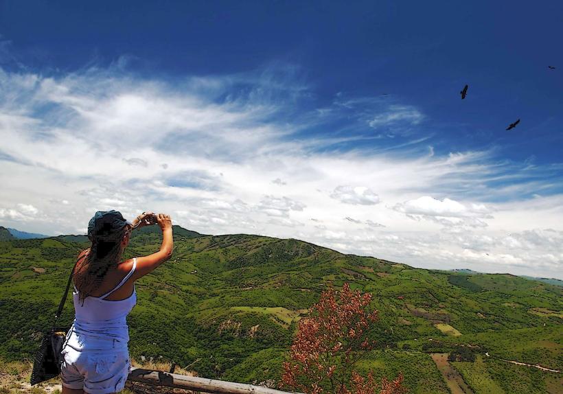
Samaipata: 120 km (Pre-Incan ruins and a bohemian mountain village).
Cotoca: 20 km (Sanctuary town famous for its ceramics and local pastries).
Jesuit Missions (San Xavier): 220 km (UNESCO World Heritage colonial churches).
Facts & Legends
A local historical oddity is that the sloth (pereza) is a common sight in the trees of the city's central plazas. A popular legend is that of "La Viuda" (The Widow), a spectral figure said to haunt the rings at night, specifically targeting men who are out late after drinking.