Information
Landmark: Parque Nacional AmboróCity: Santa Cruz de la Sierra
Country: Bolivia
Continent: South America
Parque Nacional Amboró, Santa Cruz de la Sierra, Bolivia, South America
Parque Nacional Amboró is a protected area located in the Santa Cruz Department of Bolivia. It encompasses a significant portion of the Andean foothills and Amazonian lowlands.
Visual Characteristics
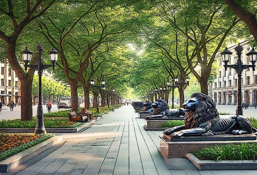
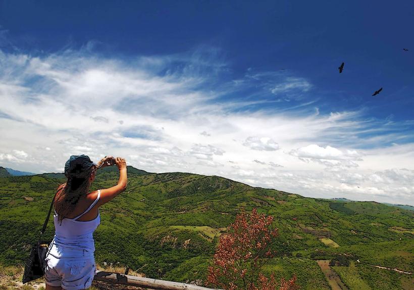
The park exhibits diverse topography, ranging from cloud forests at higher elevations to tropical rainforests and savannas at lower altitudes. Vegetation density varies, with dense canopy cover in rainforest sections and more open grasslands in savanna areas. Rock formations are present, particularly in the foothills, with exposed sedimentary and metamorphic rock.
Location & Access Logistics
Parque Nacional Amboró is situated approximately 150 kilometers west of Santa Cruz de la Sierra. Access is primarily via the paved highway Ruta 7 towards Cochabamba. Several unpaved access roads branch off Ruta 7, leading to different park entrances and ranger stations. The main entrance is near the town of Samaipata. Parking is available at designated ranger stations, though capacity can be limited. Public transport options to Samaipata include intercity buses departing from Santa Cruz. From Samaipata, local transport or pre-arranged tours are necessary to reach park trailheads.
Historical & Ecological Origin
The park was established on September 14, 1973, to protect its rich biodiversity and geological features. Ecologically, Amboró represents a transition zone between the Andes, the Amazon basin, and the Chaco region, resulting in a high degree of endemism. Its geological history involves uplift of the Andes and erosion processes shaping the foothills.
Key Highlights & Activities
Hiking is a primary activity, with marked trails of varying difficulty. Specific trails include the El Fuerte trail (leading to pre-Incan ruins), the Las Cascadas trail (to waterfalls), and the Los Volcanes trail (offering panoramic views). Birdwatching is a significant draw, with over 800 documented species. Wildlife observation, including primates and spectacled bears, is possible. Photography opportunities exist, particularly for flora and fauna.
Infrastructure & Amenities
Basic infrastructure is present at ranger stations, including restrooms and some shaded areas. Cell phone signal is intermittent and generally unavailable within deeper park sections. Food vendors are typically located in nearby towns like Samaipata, not within the park itself. Visitors should carry sufficient water and food.
Best Time to Visit
The dry season, from May to October, offers more favorable hiking conditions with less rain. The wet season (November to April) can make trails muddy and difficult. For photography, early morning and late afternoon provide optimal lighting conditions due to the angle of the sun. High tide is not a relevant factor for this terrestrial park.
Facts & Legends
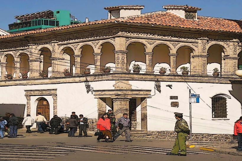
The park is home to the El Fuerte de Samaipata, a UNESCO World Heritage site, which is a large sandstone rock carved with intricate designs, believed to be a ceremonial center of the pre-Incan Chané culture and later used by the Incas. Local legends speak of hidden Inca treasures within the park's caves.
Nearby Landmarks
- El Fuerte de Samaipata (0.5km West)
- Samaipata town (1km West)
- Cuevas National Park (25km Northeast)
- Refugio Los Volcanes (15km Southwest)