Information
Landmark: Lake GardaCity: Verona
Country: Italy
Continent: Europe
Lake Garda, Verona, Italy, Europe
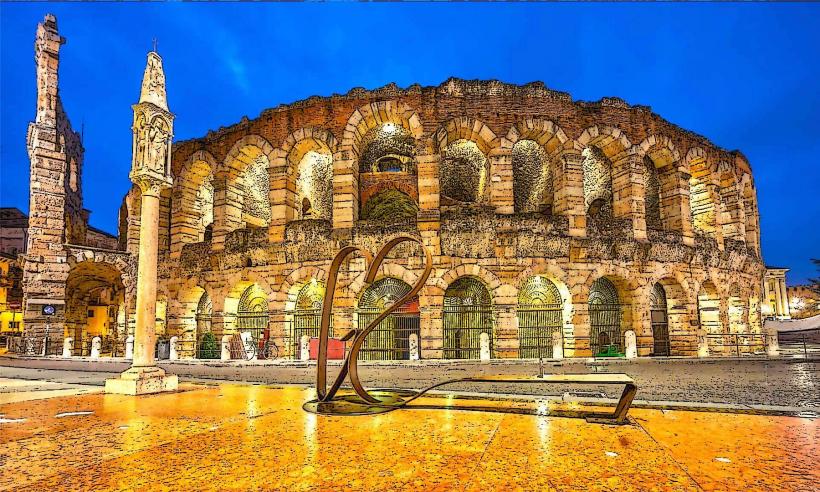
Lake Garda is the largest lake in Italy, situated on the edge of the Po Valley between the provinces of Verona, Brescia, and Trento. The eastern shore, known as the "Riviera degli Ulivi," is located approximately 30 kilometers west of the city of Verona.
Visual Characteristics
The lake features deep blue freshwater and is surrounded by a varied landscape: the northern end is narrow and fjord-like, flanked by the steep limestone cliffs of the Gruppo del Baldo, while the southern basin is wide and morainic. The shoreline consists of pebble beaches and stone embankments, with vegetation dominated by olive groves, lemon greenhouses, and Mediterranean cypresses. The water reaches depths of up to 346 meters.
Location & Access Logistics
From Verona, the lake is accessed via the A4 motorway (Peschiera or Desenzano exits) or the A22 (Affi exit). Regional trains from Verona Porta Nuova reach the Peschiera del Garda and Desenzano del Garda-Sirmione stations in under 20 minutes. Navigazione Laghi operates a fleet of hydrofoils and ferries connecting the major lakeside towns. The SR249 "Gardesana Orientale" road runs along the eastern coast, though it experiences significant traffic congestion during peak season.
Historical & Ecological Origin
The lake basin was formed approximately 1.5 million years ago during the Quaternary period by the erosive action of a massive Piedmontese glacier. Ecologically, it is a sub-alpine lake with a unique microclimate that allows for the northernmost commercial cultivation of olives and citrus in Europe. Historically, the lake has been a strategic border zone since the Roman era, later contested by the Scaligeri of Verona, the Republic of Venice, and the Austro-Hungarian Empire.
Key Highlights & Activities
Water-based activities include windsurfing and sailing, which are concentrated in the northern towns of Torbole and Riva due to the reliable "Ora" and "Peler" winds. Public bathing is possible at the Lido ai Pioppi in Peschiera or the Baia delle Sirene in Garda. The Gardaland Resort, Italy's largest theme park, is located on the southeastern shore. The Monte Baldo Cable Car in Malcesine provides transport to 1,760 meters for hiking and panoramic viewing.
Infrastructure & Amenities
The lake is surrounded by highly developed tourist infrastructure, including public restrooms in every major town center and extensive lakeside promenades. 5G cellular coverage is consistent across the southern and central basins. Numerous marinas provide boat slips and rental services. Formal campsites and hotels line the SR249, and diverse food options ranging from street food to Michelin-starred restaurants are available in the pedestrian centers.
Best Time to Visit
The optimal period for swimming and stable weather is from June to early September. For photography, the autumn months (October-November) offer the highest visibility and vibrant foliage against the blue water. Spring (April-May) is the best time for hiking to avoid high temperatures. Northern parts of the lake are best photographed in the morning to capture sunlight hitting the eastern cliffs.
Facts & Legends
Local folklore speaks of the "Bennie," a legendary lake monster first reportedly sighted in the 16th century near the caves of Manerba. A verified historical tip: the Grotte di Catullo in Sirmione are not actually caves, but the ruins of one of the largest Roman villas in Northern Italy, covering over two hectares at the tip of the peninsula.
Nearby Landmarks
Scaligero Castle (Sirmione): 0.1km North (of Sirmione center)
Vittoriale degli Italiani: 12km West (across the lake from Garda)
Madonna della Corona Sanctuary: 15km East (high above the Adige Valley)
Borghetto sul Mincio: 12km South (via Peschiera)
Isola del Garda: 2km East of San Felice del Benaco